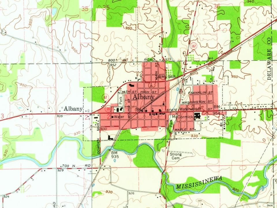
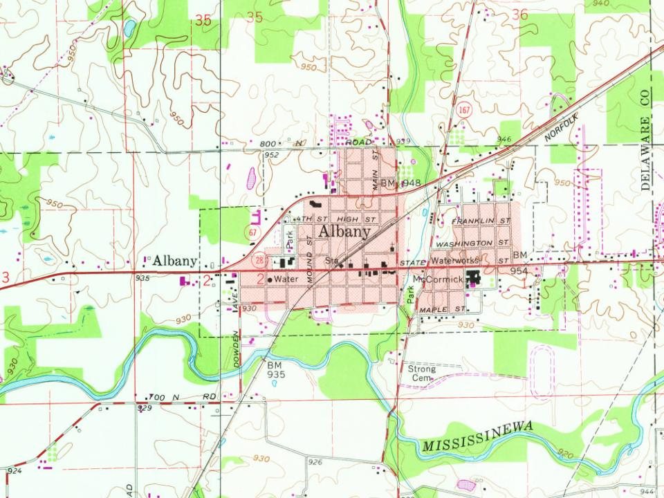
Founding year: Wikipedia. First post office: 1854.The full story ↓
History grade
What drives Albany’s History grade
On its age, its old homes and the National Register, Albany is more historic than 62% of U.S. towns. Its age holds the grade up; its National Register listings pull it down.
B
HistoryA character grade: shown, never part of Albany’s overall grade.
Indiana towns list more on the Register than most of the country (a typical Indiana town has 7.9 per 10,000 residents, the U.S. 2.4), so Albany’s 0.0 sits below most of its state (22% of Indiana towns have fewer) while its 0 listings outnumber those of 23% of U.S. towns.
How sure. Graded on any two of the three inputs instead, the letter would range from C+ to A−. The pre-1940 share is a Census survey estimate (±5.6 points). Two sources give 1833.
Founding year: Wikipedia (other dates in Quick answers). Homes: Census ACS 2020–24. National Register: National Park Service, May 2026 list; each listing counted once (boundary changes and added documentation belong to their listing), and a historic district counts its contributing buildings. How TownRatings grades history →
What stands out about Albany’s past
Read from the archive, the National Register and the record. The page puts what stands out first.
Fire insurance maps drew every building, what it was made of and what it was used for, so insurers could price the risk of fire. Pick a year, then a sheet.
1892Sheet 1 of 1
Edition
Sheets
BrickWoodStone
Sanborn Map Company, via the Library of Congress. Editions published in 1930 or earlier, which are in the public domain.
Timeline
Albany, 1833 to 1960
Woven from the archive, old maps, post office records, the National Register and the people born here.
Albany was founded and platted in 1833 by William Venard, after purchasing it from Andrew Kennedy the year prior. It was likely named after Albany, New York.
The grounds of the cemetery contain about thirty acres, and are located four miles west from the City of Albany and about half a mile east of the Second Reformed Church, and the same distance from Adamsville, the first station on the Albany and Susquehanna Railroad. This cemetery is laid out with taste and has much of the appearance of a park. The monuments are numerou.s,
Text read by machine from the scan; it may contain errors.
The Ridgefield Athletic Club of the City of Albany, incorporated in 1884 for purposes of general outdoor sports, may justly be considered as the offspring of Uie Albany Cricket Club, organized in 1838. A number of years elapsed before a reorganization of the club took place, and the name 01 the Albany Cricket Club was again numbered among the best organizations in the State. The
Text read by machine from the scan; it may contain errors.
Calendar of historical manuscripts in the office of the secretary of state, Albany, N.Y.1865 · page 73Read the page →
Read the text
Aug. 20. Council minute. Measures to be adopted to prevent the French drawing off Mohawks and River Indians to Canada, where they already have four forts, 186 Aug. 17. Council minutes. Duties on powder and lead at Albany removed ; sentence on Wm. Loveridge confirmed ; order about John Hendrick De Bruyn trading at Albany confirmed ; none but resident inhabitants to trade with the Indians at Albany ; freemen of New York may trade with Christians at Albany on paying duties, 18S
Text read by machine from the scan; it may contain errors.
Scans and text from the Internet Archive. Books published in 1930 or earlier, which are in the public domain.
In 1833, according to Wikipedia’s history of the town. Albany’s post office opened in 1854, and the census of 1880 counted 249 people here.
How does Albany rank for history?
Albany is more historic than 62% of U.S. towns. The History grade combines the town’s founding era, the share of homes built before 1940 and its National Register listings. It’s a character grade, so it isn’t part of the overall grade. How it works.
How old are the homes in Albany?
22% of Albany’s homes were built before 1940 (Census estimate, ±5.6 points), against a typical 14% for an Indiana town; the median home was built in 1965.
Founding dates: Wikidata, Wikipedia, the U.S. post office records of Blevins & Helbock (CC0) and the Census. Homes by year built: Census ACS 2020–24. National Register of Historic Places: National Park Service (list of May 22, 2026). Old photos, postcards and papers: Wikimedia Commons, the Library of Congress and other public archives, credited on each item’s page. Maps: U.S. Geological Survey historical topographic maps (via Esri) and Sanborn fire-insurance maps (Library of Congress). History text and census tables: Wikipedia (CC BY-SA 4.0). Places that used to be: USGS Geographic Names Information System (2021).
From Wikimedia Commons (5), Wikipedia, Wikidata and Wikipedia for famous people, U.S. Geological Survey historical maps, U.S. Census counts (via Wikipedia), the US Post Offices dataset (Blevins & Helbock), the USGS Geographic Names Information System, Sanborn fire insurance maps (Library of Congress) and old county and town histories (Internet Archive). Archive images are copied here with their credits and licenses, shown on each photo’s page. Refreshed monthly.




 2016
 2015
 2012
 2011
 2005