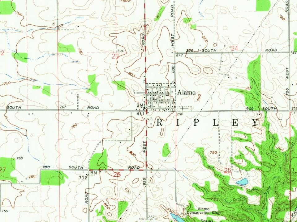
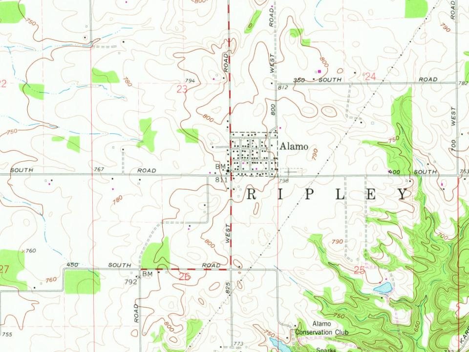
Alamo was laid out and platted in 1837. It became a small trading center for nearby farms. In 1859 a road connected Alamo to Crawfordsville, and the Yountsville Covered Bridge was built. The town was named for the Alamo Mission in San Antonio, Texas.
Peaked at 272 in 1890; 66 people lived here in 2020.
15 censuses, 1880–2020.
U.S. Census Bureau decennial counts, from the census table on Alamo’s Wikipedia page.
From the old history books
What they wrote about Alamo in 1908
Passages that mention Alamo, cut from the printed page as they were published.
History of the Alamo and of the local Franciscan missions1908 · page 55Read the page →
Read the text
Texas, and the batteied down walls allowed the free play of the southern zephyrs and ruder Boreas. The ashes of our honored dead may have been scattered around the Alamo and remain on its walls and mixed with the soil. In this way Texas has done well in preserving the entire Alamo Fortress, as originally laid out, for it thus becomes not only a nominal but the .actual mausoleum of the Alamo heroes and all the more worthy
Text read by machine from the scan; it may contain errors.
History of the Alamo and of the local Franciscan missions1908 · page 66Read the page →
Read the text
matter of speculation. Alamo is the Spanish name for cottonwood (a species of poplar), and these trees shaded the Alamo. It was not unnatural that the name was so derived. Another account, however, says that the first garrison came from Fort Alamo de Parras, in the Mexican state of Coahuila, and gave it the same name. Any way the building has long been known under that name.
Text read by machine from the scan; it may contain errors.
Scans and text from the Internet Archive. Books published in 1930 or earlier, which are in the public domain.
Timeline
Alamo, 1826 to 1949
Woven from the archive, old maps, post office records, the National Register and the people born here.
Founding dates: Wikidata, Wikipedia, the U.S. post office records of Blevins & Helbock (CC0) and the Census. Homes by year built: Census ACS 2020–24. National Register of Historic Places: National Park Service (list of May 22, 2026). Old photos, postcards and papers: Wikimedia Commons, the Library of Congress and other public archives, credited on each item’s page. Maps: U.S. Geological Survey historical topographic maps (via Esri) and Sanborn fire-insurance maps (Library of Congress). History text and census tables: Wikipedia (CC BY-SA 4.0). Places that used to be: USGS Geographic Names Information System (2021). How TownRatings grades history →
From Wikimedia Commons (2), the Library of Congress (1), Wikipedia, Wikidata and Wikipedia for famous people, U.S. Geological Survey historical maps, U.S. Census counts (via Wikipedia), the US Post Offices dataset (Blevins & Helbock), the USGS Geographic Names Information System and old county and town histories (Internet Archive). Archive images are copied here with their credits and licenses, shown on each photo’s page. Refreshed monthly.


 Date?
 2008
 2008