Originally laid out as Homer, Illinois, the village was named by an early settler who emigrated from Homer, New York. As the town of Homer, Illinois already had a Post Office, the community took its name from a nearby grove, which was named for an early settler. A Post Office has been in operation under the name of Troy Grove since 1837.
Passages that mention Troy Grove, cut from the printed page as they were published.
History of LaSalle County, Illinois1877 · page 410Read the page →
Read the text
The town of Ophir is identical with Township 35, Range 2, and_js prairie region, with the exeeption of abont one section of timber on Sections 18 and 19, being a part of Troy Grove, which was originally as fine a tract of timber land as there was in the county. It lies mostly in the town of Troy Grove, and at an early day was surrounded by pioneer settlers,
Text read by machine from the scan; it may contain errors.
History of LaSalle County, Illinois1877 · page 411Read the page →
Read the text
Soxeph Reynolis, brother of Martin Reynolds, of Deer Park, came from Champaign County, Ohio, to Morgan County, TL, then to Tazewell County, and next to Deer Park, and to Troy Grove in the spring of 1880; was the first settler here. He settled on 8. 19, T, 35, R. 2; left at the breaking ont of the Indian war in the spring of 1832, and in the follow.
Text read by machine from the scan; it may contain errors.
Scans and text from the Internet Archive. Books published in 1930 or earlier, which are in the public domain.
Timeline
Troy Grove, 1837 to 1920
Woven from the archive, old maps, post office records, the National Register and the people born here.
Nothing in the archives for these yearsWeddings on Main Street, storms, parades, school pictures, the old store. If it’s in your family album, it belongs here.
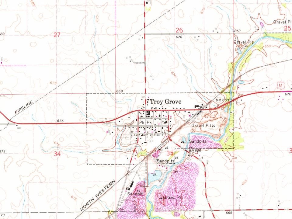
Founding dates: Wikidata, Wikipedia, the U.S. post office records of Blevins & Helbock (CC0) and the Census. Homes by year built: Census ACS 2020–24. National Register of Historic Places: National Park Service (list of May 22, 2026). Old photos, postcards and papers: Wikimedia Commons, the Library of Congress and other public archives, credited on each item’s page. Maps: U.S. Geological Survey historical topographic maps (via Esri) and Sanborn fire-insurance maps (Library of Congress). History text and census tables: Wikipedia (CC BY-SA 4.0). Places that used to be: USGS Geographic Names Information System (2021). How TownRatings grades history →
From Wikimedia Commons (2), Wikipedia, Wikidata and Wikipedia for famous people, U.S. Geological Survey historical maps, U.S. Census counts (via Wikipedia), the US Post Offices dataset (Blevins & Helbock), the USGS Geographic Names Information System and old county and town histories (Internet Archive). Archive images are copied here with their credits and licenses, shown on each photo’s page. Refreshed monthly.




 2011