Most of Stonefort Township was built recently: 2% of its homes predate 1940 and the median home dates from 1980. Below: maps from 1925 on and the census since 1880.
Peaked at 524 in 1940; 224 people lived here in 2020.
15 censuses, 1880–2020.
U.S. Census Bureau decennial counts, from the census table on Stonefort Township’s Wikipedia page.
On the map
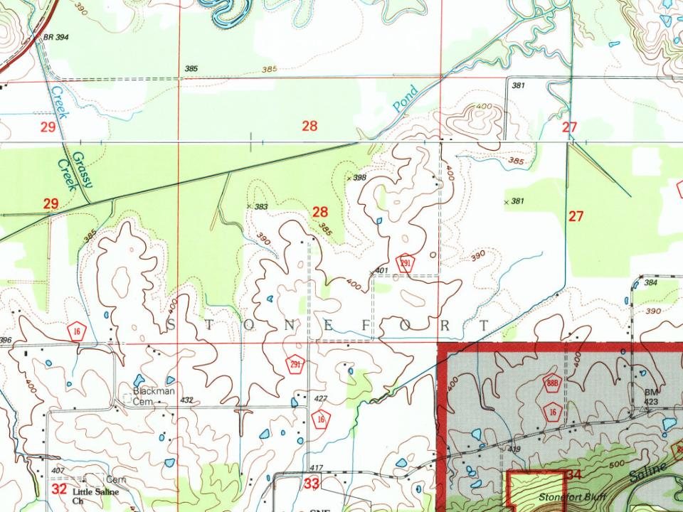
Stonefort Township on the map, 1925 to 1996
Every edition of the U.S. Geological Survey’s map of Stonefort Township. Tap a year, or press play to watch the town change.
1925Harrisburg sheet · 1:62,500
U.S. Geological Survey historical topographic maps (public domain), via Esri’s collection of the scans. The red ring marks the center of Stonefort Township.
Stonefort is named for an ancient rock fortification that stood in the vicinity when the first settlers started arriving in the area in the early 1800s. The village of Stonefort was established in the late 1850s, and was originally located about a mile to the southeast, near the edge of the bluff. When the Cairo and Vincennes Railroad (later part of the Big Four and New York Central systems) was completed through the area in the 1870s, Stonefort's public buildings were dismantled and moved to the village's present location, which was adjacent to the railroad tracks. The former site of the village is now listed as "Oldtown" on maps.
Founding dates: Wikidata, Wikipedia, the U.S. post office records of Blevins & Helbock (CC0) and the Census. Homes by year built: Census ACS 2020–24. National Register of Historic Places: National Park Service (list of May 22, 2026). Old photos, postcards and papers: Wikimedia Commons, the Library of Congress and other public archives, credited on each item’s page. Maps: U.S. Geological Survey historical topographic maps (via Esri) and Sanborn fire-insurance maps (Library of Congress). History text and census tables: Wikipedia (CC BY-SA 4.0). Places that used to be: USGS Geographic Names Information System (2021). How TownRatings grades history →
From Wikimedia Commons (6), Wikipedia, U.S. Geological Survey historical maps, U.S. Census counts (via Wikipedia) and the USGS Geographic Names Information System. Archive images are copied here with their credits and licenses, shown on each photo’s page. Refreshed monthly.


 2018
 2018
 2018
 2018
 2018
 2018