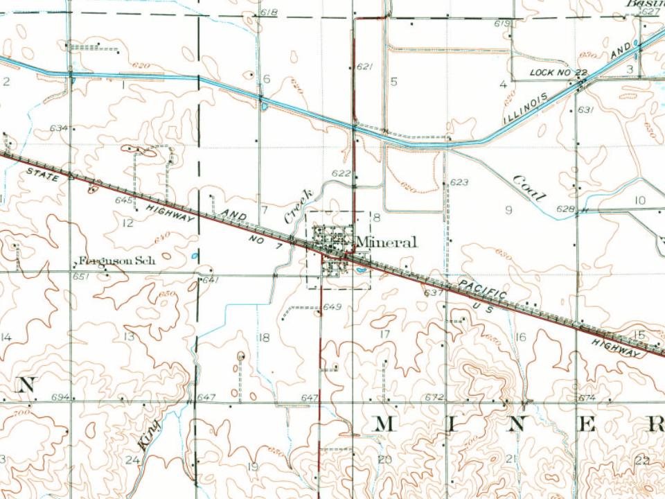
The area in which Mineral is located was first settled in the early 1830s. The land just south of the current village was found to be ripe with coal. Several mines were open until strip mining became a commonly practiced way to retrieve coal from the ground.
The population of the township of Mineral (so named because of its rich coal supply) became populated to the point of where it was officially organized in 1850. As the train tracks were laid north of the coal mining area, so brought the formation of the town of Mineral. The town of Mineral was platted in 1857 and soon developed several small stores and a population of 300 to 350 residents.
Founding dates: Wikidata, Wikipedia, the U.S. post office records of Blevins & Helbock (CC0) and the Census. Homes by year built: Census ACS 2020–24. National Register of Historic Places: National Park Service (list of May 22, 2026). Old photos, postcards and papers: Wikimedia Commons, the Library of Congress and other public archives, credited on each item’s page. Maps: U.S. Geological Survey historical topographic maps (via Esri) and Sanborn fire-insurance maps (Library of Congress). History text and census tables: Wikipedia (CC BY-SA 4.0). Places that used to be: USGS Geographic Names Information System (2021). How TownRatings grades history →
From Wikimedia Commons (1), Wikipedia, U.S. Geological Survey historical maps, U.S. Census counts (via Wikipedia), the US Post Offices dataset (Blevins & Helbock) and the USGS Geographic Names Information System. Archive images are copied here with their credits and licenses, shown on each photo’s page. Refreshed monthly.

 2011