The village of McLean was laid out on June 22, 1855, by Franklin Price (1821 - 1908). Price was born in Chester Valley, Pennsylvania, and was the brother-in-law of Bloomington real estate developer Kersey Fell. Price came to Bloomington in 1849; he worked as a clerk and newspaper writer and was elected mayor of Bloomington in 1855 and again in 1856, serving until 1858. Price never lived in the new town he founded.
McLean was laid out when the Alton and Springfield Railroad, soon to become the Alton Railroad, was first built through McLean County. The nearby towns of Atlanta, Normal, and Towanda were laid out at the same time as McLean. There had been an earlier attempt to found a town nearby.
Passages that mention McLean, cut from the printed page as they were published.
History of McLean County, Illinois1924 · page 385Read the page →
Read the text
When the Alton road was built and the village of McLean was established, the church and other buildings were moved from Mt. Hope to McLean, and the town plat was vacated and reverted to farm lands about 1854, when Hudson Burr and others bought the site.
Text read by machine from the scan; it may contain errors.
The good old times in McLean County, Illinois1874 · page 187Read the page →
Read the text
m'lean county. 187 the other he sold for one hundred dollars in cash and twenty-rive dollars in goods and started for Illinois. This was in 1825. He first settled in Old Town in McLean County, but in 1829 he moved to his farm which is now a part of the city of Bloomington. He was the first settler on the ground now occupied by the present city of Bloomington, although when the city was first laid out it did not include within the boundaries the house where
Text read by machine from the scan; it may contain errors.
History of McLean County, Illinois1924 · page 384Read the page →
Read the text
The village of Mt. Hope was laid out June 16, 1837, by William Peck, agent of the Farmers' and Mechanics' emigrating society, being located near where the town of McLean now stands. It was a part of the Mt. Hope colony scheme, promoted in Rhode Island, by which each stockholder
Text read by machine from the scan; it may contain errors.
The good old times in McLean County, Illinois1874 · page 471Read the page →
Read the text
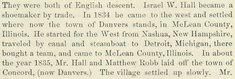
The}- were both of English descent. Israel W. Hall became a shoemaker by trade. In 1834 he came to the west and settled where now the town of Danvers stands, in McLean County, Illinois. He started for the West from Nashua, New Hampshire, traveled by canal and steamboat to Detroit, Michigan, there bought a team, and came to McLean County, Illinois. In about the year 1885, Mr. Hall and Matthew Robb laid off the town of Concord, (now Danvers.) The village settled up slowly. Mr.
Text read by machine from the scan; it may contain errors.
Scans and text from the Internet Archive. Books published in 1930 or earlier, which are in the public domain.
Founding dates: Wikidata, Wikipedia, the U.S. post office records of Blevins & Helbock (CC0) and the Census. Homes by year built: Census ACS 2020–24. National Register of Historic Places: National Park Service (list of May 22, 2026). Old photos, postcards and papers: Wikimedia Commons, the Library of Congress and other public archives, credited on each item’s page. Maps: U.S. Geological Survey historical topographic maps (via Esri) and Sanborn fire-insurance maps (Library of Congress). History text and census tables: Wikipedia (CC BY-SA 4.0). Places that used to be: USGS Geographic Names Information System (2021). How TownRatings grades history →
From Wikimedia Commons (4), the Library of Congress (1), Wikipedia, the US Post Offices dataset (Blevins & Helbock), the USGS Geographic Names Information System and old county and town histories (Internet Archive). Archive images are copied here with their credits and licenses, shown on each photo’s page. Refreshed monthly.


 Date?
 2015
 2015
 2008
 2008
