Wikipedia doesn’t have a history of Lynn Township yet. The photos, dates and memories neighbors add here are how it gets written.
Lynn Township is one of twenty-four townships in Henry County, Illinois, USA. As of the 2020 census, its population was 763 and it contained 311 housing units. Lynn changed its name originally from Linn Grove Township to Lynnville Township on April 13, 1857, and then again from Lynnville to Lynn on an unknown date.
Between the 2010 and 2020 censuses its population grew from 745 to 763 (+2%).
Intro from Wikipedia. Population: U.S. Census Bureau.
From the old history books
What they wrote about Lynn Township in 1885
Passages that mention Lynn Township, cut from the printed page as they were published.
Portrait and biographical album of Henry County, Illinois1885 · page 264Read the page →
Read the text
she remained until her marriage. Some few years after their marriage they came to Andover, Henry County, where they remained for a while, afterward, in 1858, moving to Lynn Township, where the father was the owner of 240 acres of well improved land at the time of his death, which occurred at his home in Lynn Township June 11,1876. Since then Frank F., our subject, has had the superintendency of the
Text read by machine from the scan; it may contain errors.
Portrait and biographical album of Henry County, Illinois1885 · page 327Read the page →
Read the text
thereon by attendance at the common schools, and developed into manhood. When he was 20 years of age, the family came to Illinois, settling in what is now Lynn Township, this county, and known at that time as Lynn Grove. The settlement was made in August, 1836, arriving here on the 14th day of that month. Not a single house had been erected at that time in what is now Lynn Township, and but
Text read by machine from the scan; it may contain errors.
Scans and text from the Internet Archive. Books published in 1930 or earlier, which are in the public domain.
Timeline
Lynn Township, 1871 to 1983
Woven from the archive, old maps, post office records, the National Register and the people born here.
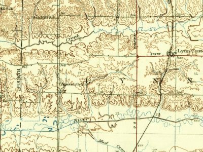
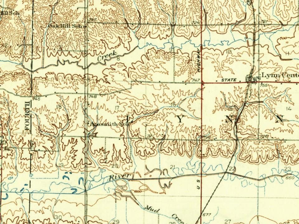
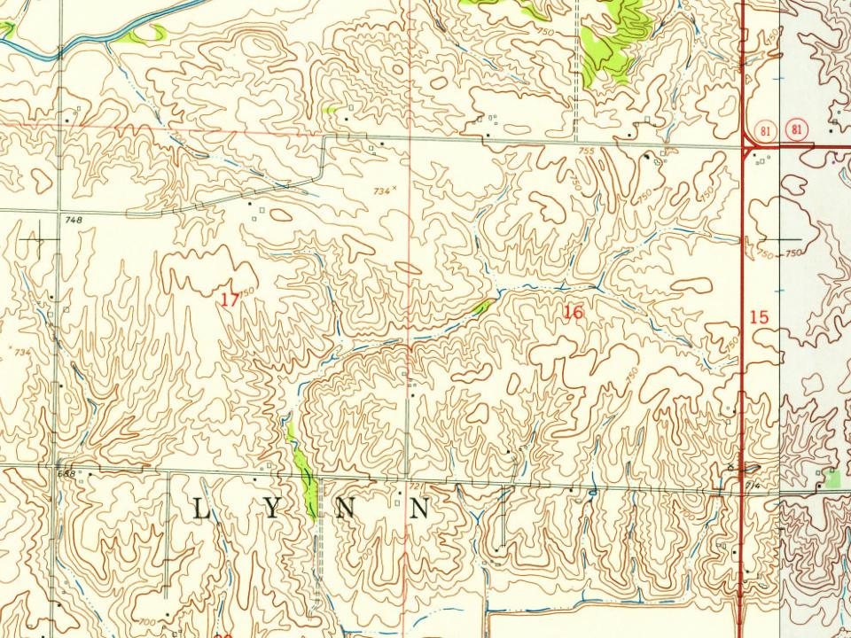
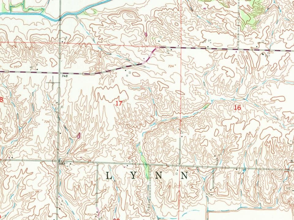
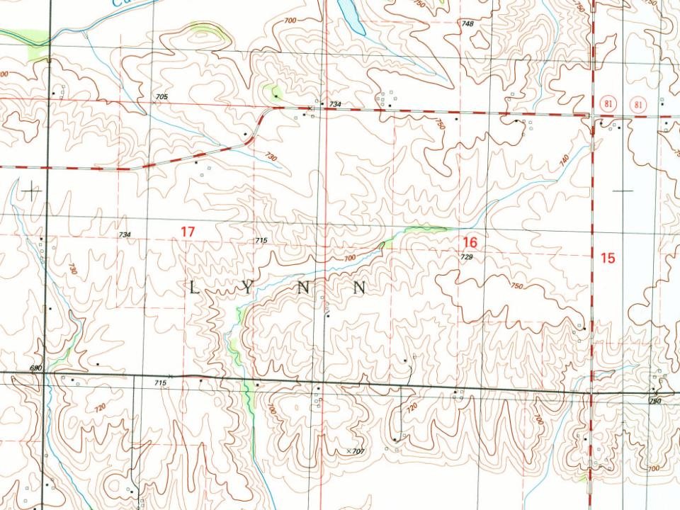
Every edition of the U.S. Geological Survey’s map of Lynn Township. Tap a year, or press play to watch the town change.
1937Orion sheet · 1:62,500
U.S. Geological Survey historical topographic maps (public domain), via Esri’s collection of the scans. The red ring marks the center of Lynn Township.
People over time
Lynn Township, census by census
Between 714 and 763 people in every census since 2000.
3 censuses, 2000–2020.
U.S. Census Bureau decennial counts, from the census table on Lynn Township’s Wikipedia page.
Famous people
Famous people close to Lynn Township
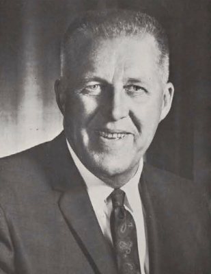
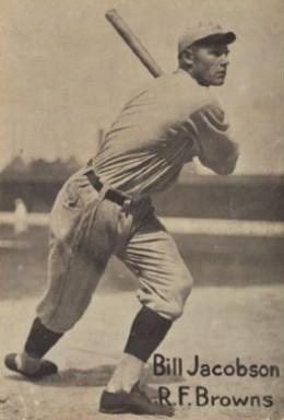
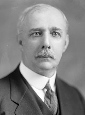
Nobody well known was born in Lynn Township itself, so here are the best known from just nearby.
Founding dates: Wikidata, Wikipedia, the U.S. post office records of Blevins & Helbock (CC0) and the Census. Homes by year built: Census ACS 2020–24. National Register of Historic Places: National Park Service (list of May 22, 2026). Old photos, postcards and papers: Wikimedia Commons, the Library of Congress and other public archives, credited on each item’s page. Maps: U.S. Geological Survey historical topographic maps (via Esri) and Sanborn fire-insurance maps (Library of Congress). History text and census tables: Wikipedia (CC BY-SA 4.0). Places that used to be: USGS Geographic Names Information System (2021). How TownRatings grades history →
From U.S. Geological Survey historical maps, U.S. Census counts (via Wikipedia), the US Post Offices dataset (Blevins & Helbock), the USGS Geographic Names Information System and old county and town histories (Internet Archive). Archive images are copied here with their credits and licenses, shown on each photo’s page. Refreshed monthly.