The Fountain Green Township post office opened in 1832, the earliest record of the town by name. Three smaller post offices, Fountain Green (1832), Webster (1847) and La Crosse (1866), opened inside today’s town and later closed.
2020 census: 218194 years
Founding year: the first Fountain Green Township post office (Blevins & Helbock, CC0).The full story ↓
What stands out about Fountain Green Township’s past
Read from the archive, the National Register and the record. The page puts what stands out first.
Lost post offices, old corners, places now gone and burying grounds
Three other post offices opened and closed inside today’s town.
Fountain Green
1832–1962
Webster
1847–1953
La Crosse
1866–1929
18301930today
Hamlets and corners on the map
Fountain GreenLa CrosseWebster
Gone or out of use
Eagle SchoolschoolElder Grove SchoolschoolFountain Green Post Officepost officeHickory Grove SchoolschoolJoe Duncan SchoolschoolMcGuffy SchoolschoolRossville Schoolschool
4cemeteries and burying grounds inside Fountain Green Township
One of the earliest settlers in this area was Mordecai Lincoln, who prior to 1830 led a group from Kentucky in an attempt to establish a Catholic settlement in this part of Illinois, presaging by several years the Mormon settlement in nearby Nauvoo. He was followed by other southerners who were mostly Baptist in faith, including Baptists who had lived close to Mordecai near Springfield, Kentucky. Some of the Baptists settled along Baptist Creek to the northeast of Fountain Green.
The Catholic settlement foundered, in part because of the difficulty in obtaining a parish priest. The Baptist theology was better able to cope with such problems on the frontier.
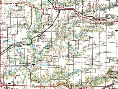
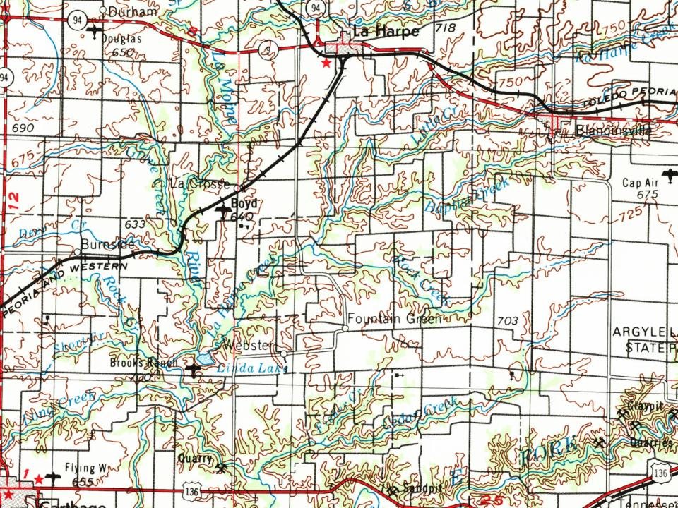
Every edition of the U.S. Geological Survey’s map of Fountain Green Township. Tap a year, or press play to watch the town change.
1958Burlington sheet · 1:250,000
U.S. Geological Survey historical topographic maps (public domain), via Esri’s collection of the scans. The red ring marks the center of Fountain Green Township.
Stories next door
History across the town line
Each neighbor’s History grade, on the same three inputs.
Founding dates: Wikidata, Wikipedia, the U.S. post office records of Blevins & Helbock (CC0) and the Census. Homes by year built: Census ACS 2020–24. National Register of Historic Places: National Park Service (list of May 22, 2026). Old photos, postcards and papers: Wikimedia Commons, the Library of Congress and other public archives, credited on each item’s page. Maps: U.S. Geological Survey historical topographic maps (via Esri) and Sanborn fire-insurance maps (Library of Congress). History text and census tables: Wikipedia (CC BY-SA 4.0). Places that used to be: USGS Geographic Names Information System (2021). How TownRatings grades history →
From Wikipedia, Wikidata and Wikipedia for famous people, U.S. Geological Survey historical maps, the US Post Offices dataset (Blevins & Helbock) and the USGS Geographic Names Information System. Archive images are copied here with their credits and licenses, shown on each photo’s page. Refreshed monthly.