Nothing in Clay City itself: Burrows Cave is 15 mi away
The best-known day out from Clay City is George Rogers Clark National Historical Park, 44 mi away. All of it lies outside: 2 places within 40 miles, none inside Clay City. Among them are a cave and a landmark.
Burrows Cave
Alleged cave site.
The towns around it, and where to stay →
Where to find them
At the edge of the map sits The Cross at the Crossroads, 32 mi out.
Orange: Clay City. Numbers: the best-known places, matching the list below. © OpenStreetMap contributors
Place after place
Its 6 places all lie within 60 miles.
 2
The Cross at the Crossroads
Monument in Effingham County, United States of America.
 3
George Rogers Clark National Historical Park
National Historical Park of the United States in Indiana.
 4
 6
Ranked by how many people look them up, so the famous places lead and the local favorites follow.
Parks and trails in Clay City → · Clay City’s history →
Photo credits
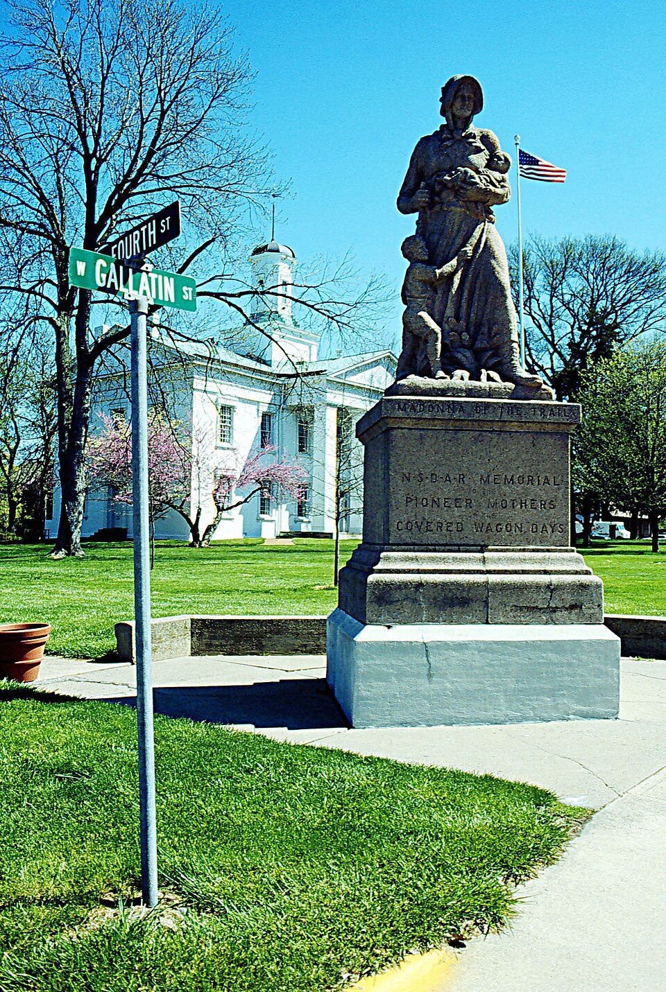
The Cross at the Crossroads: Daniel Schwen, CC BY-SA 4.0 · George Rogers Clark National Historical Park: The original uploader was Agentmoose at English Wikipedia. on 2006-07-08., CC BY-SA 2.5 · Vandalia State House State Historic Site: Lyle Kruger, Public domain · Indiana Territorial Capitol: Nyttend, Public domain


