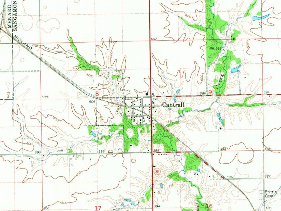
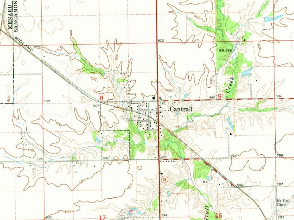
Every edition of the U.S. Geological Survey’s map of Cantrall. Tap a year, or press play to watch the town change.
1907Springfield sheet · 1:62,500
U.S. Geological Survey historical topographic maps (public domain), via Esri’s collection of the scans. The red ring marks the center of Cantrall.
The story so far
Cantrall, in brief
Wikipedia doesn’t have a history of Cantrall yet. The photos, dates and memories neighbors add here are how it gets written.
Cantrall is a village in Sangamon County, Illinois, United States. The population was 144 at the 2020 census, up from 139 in 2010. It is part of the Springfield, Illinois Metropolitan Statistical Area.
Between the 2010 and 2020 censuses its population grew from 139 to 144 (+4%).
Intro from Wikipedia. Population: U.S. Census Bureau.
From the old history books
What they wrote about Cantrall, 1881–1912
Passages that mention Cantrall, cut from the printed page as they were published.
History of Sangamon County, Illinois1881 · page 901Read the page →
Read the text
The village of Cantrall is an outgrowth of the Springfield & Northwestern Railroad, and was laid out on its completion to that point, its plat being recorded under date of October, 1872.
Text read by machine from the scan; it may contain errors.
Historical Encyclopedia of Illinois and history of Sangamon County1912 · page 1109Read the page →
Read the text
in Sangamon County, Ill., since its early settlement, and for this family the town of Cantrall was named. ‘The first of the family to settle here was Levi Cantrall, grand uncle of Zebulon G. Cantrall. The subject of this sketch was born in Sangamon County, May 7, 1835, son of Joshua Metz and Sarah Cantrall, both of whom were natives of Ohio. Joshua M.
Text read by machine from the scan; it may contain errors.
History of Sangamon County, Illinois1881 · page 898Read the page →
Read the text
the township was unusually severe. Levi Cantrail, before his death, stated that the cabin he commenced December 8, 1819, about half a mile west of the present town of Cantrall, the mortar froze so that he could not plaster it. December 24, 1819, snow began to fall, and continued one snow after another until it was two feet deep on a level. The weather continued intensely cold,
Text read by machine from the scan; it may contain errors.
Historical Encyclopedia of Illinois and history of Sangamon County1912 · page 1238Read the page →
Read the text
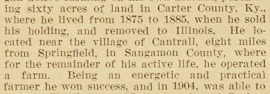
ing sixty acres of land in Carter County, Ky., where he lived from 1875 to 1885, when he sold his holding, and removed to Illinois. He located near the village of Cantrall, eight miles from Springfield, in Sangamon County, where for the remainder of his active life, he operated a farm. Being an energetic and practical farmer he won success, and in 1904, was able to
Text read by machine from the scan; it may contain errors.
Scans and text from the Internet Archive. Books published in 1930 or earlier, which are in the public domain.
By decade
No old photos in the archives yet
Weddings on Main Street, storms, parades, school pictures, the old store. If it’s in your family album, it belongs here.
Be the first to add onePhotograph a print flat, in daylight, no flash.
Founding dates: Wikidata, Wikipedia, the U.S. post office records of Blevins & Helbock (CC0) and the Census. Homes by year built: Census ACS 2020–24. National Register of Historic Places: National Park Service (list of May 22, 2026). Old photos, postcards and papers: Wikimedia Commons, the Library of Congress and other public archives, credited on each item’s page. Maps: U.S. Geological Survey historical topographic maps (via Esri) and Sanborn fire-insurance maps (Library of Congress). History text and census tables: Wikipedia (CC BY-SA 4.0). Places that used to be: USGS Geographic Names Information System (2021). How TownRatings grades history →
From Wikidata (1), U.S. Geological Survey historical maps, U.S. Census counts (via Wikipedia), the USGS Geographic Names Information System and old county and town histories (Internet Archive). Archive images are copied here with their credits and licenses, shown on each photo’s page. Refreshed monthly.