The Bureau Junction post office opened in 1855, the earliest record of the town by name. Another post office, Leepertown (1851), opened inside today’s town and later closed.
First census: 240 in 18802020 census: 281171 years
Founding year: the first Bureau Junction post office (Blevins & Helbock, CC0).The full story ↓
What stands out about Bureau Junction’s past
Read from the archive, the National Register and the record. The page puts what stands out first.
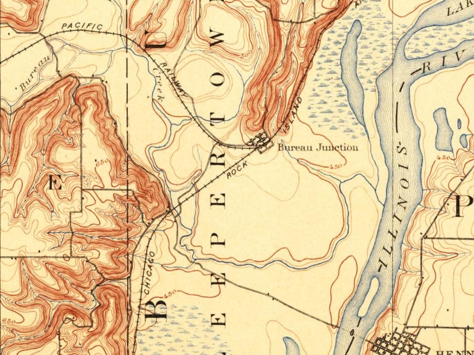
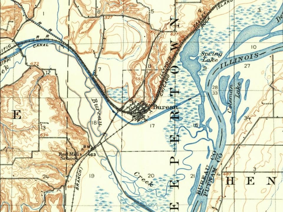
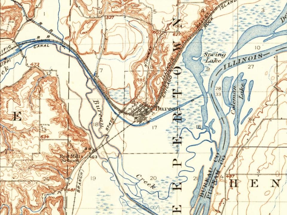
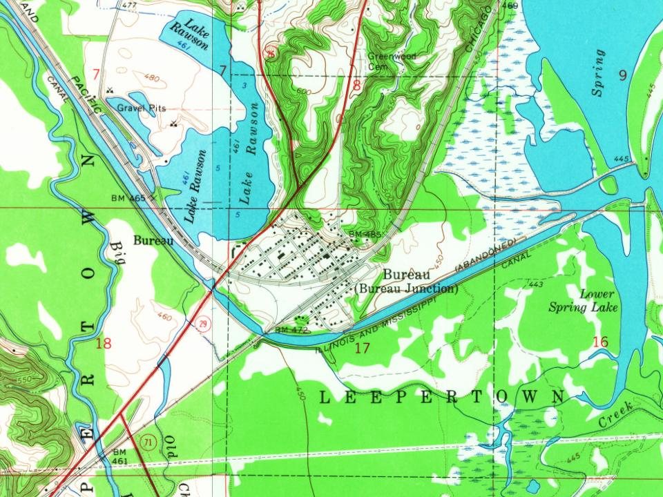
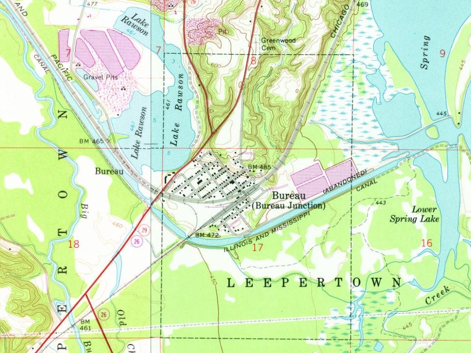
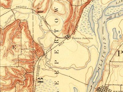
Every edition of the U.S. Geological Survey’s map of Bureau Junction. Tap a year, or press play to watch the town change.
1893Hennepin sheet · 1:62,500
U.S. Geological Survey historical topographic maps (public domain), via Esri’s collection of the scans. The red ring marks the center of Bureau Junction.
People over time
Bureau Junction, census by census
Peaked at 682 in 1920; 281 people lived here in 2020.
15 censuses, 1880–2020.
U.S. Census Bureau decennial counts, from the census table on Bureau Junction’s Wikipedia page.
The village is named for Michel or Pierre Bureau. Their original surname was probably Belleau, but local aboriginals may have had difficulty pronouncing the "l" sound. One or both of the brothers ran a trading post near where Big Bureau Creek empties into the Illinois River from 1776 until 1780 or 1790. A man named Buero, of mixed French and Native American descent, and possibly a descendant of one of the earlier Bureau brothers, was operating in this area as a fur trader in 1821.
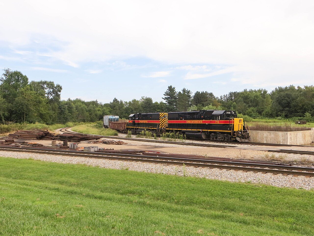
In 1874 Bureau Junction had a sizeable railroad operation as the halfway point on the railroad between Chicago and Rock Island. The former Rock Island depot still exists today, albeit abandoned.
Founding dates: Wikidata, Wikipedia, the U.S. post office records of Blevins & Helbock (CC0) and the Census. Homes by year built: Census ACS 2020–24. National Register of Historic Places: National Park Service (list of May 22, 2026). Old photos, postcards and papers: Wikimedia Commons, the Library of Congress and other public archives, credited on each item’s page. Maps: U.S. Geological Survey historical topographic maps (via Esri) and Sanborn fire-insurance maps (Library of Congress). History text and census tables: Wikipedia (CC BY-SA 4.0). Places that used to be: USGS Geographic Names Information System (2021). How TownRatings grades history →
From Wikimedia Commons (2), Wikipedia, U.S. Geological Survey historical maps, U.S. Census counts (via Wikipedia), the US Post Offices dataset (Blevins & Helbock) and the USGS Geographic Names Information System. Archive images are copied here with their credits and licenses, shown on each photo’s page. Refreshed monthly.
 2019
 2016