190 years in pictures
Census counts: 1,542 in 1880, 22,558 in 2020. The archive holds 29 old photos and papers going back to 1874 and 7 maps from 1892 on.
1 place on the National Register of Historic Places.
- 1836Blue Island is settled

Each edition grades its towns against each other only.

Blue Island earns a D, 707th among Illinois's 767 graded towns, mostly because of safety and schools. Its police reported 61 violent crimes reported to the FBI in 2025, a higher rate per resident than 85% of U.S. towns. Its public schools trail 79% of Illinois towns on state tests and graduation. What it does well: it is more walkable than 97% of U.S. towns. Only 43 of Illinois’ 1,285 towns score lower on hazard risk. Joshua P. Young House is on the National Register of Historic Places. Blue Island's civic life (library use, community groups, volunteering) trails 84% of U.S. towns.
Where Blue Island beats most towns.
Joshua P. Young House
Gary SiniseCensus counts: 1,542 in 1880, 22,558 in 2020. The archive holds 29 old photos and papers going back to 1874 and 7 maps from 1892 on.
1 place on the National Register of Historic Places.
Each subject compared with towns across the country (schools within Illinois), ordered by how far Blue Island is from typical.
Its grades run from A+ for walkability (better than 97% of comparable towns) to D for hazard risk (better than 10%), so the D overall blends very different results.
How TownRatings grades towns →
Museums, parks, gardens and other places to visit around Blue Island. Close and well known come first.
Big draw15 mi Stadium & arenaSoldier Field
Big draw10 mi MuseumBarack Obama Presidential Center
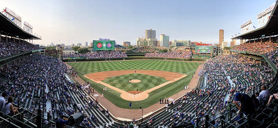
Big draw20 mi Stadium & arenaWrigley Field
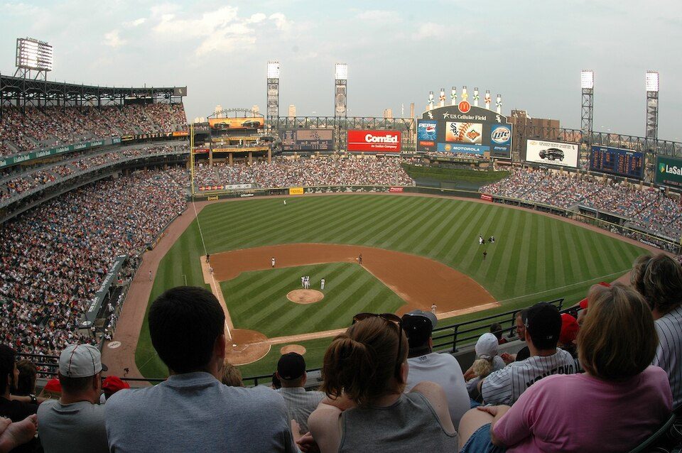
Big draw12 mi Stadium & arenaRate Field
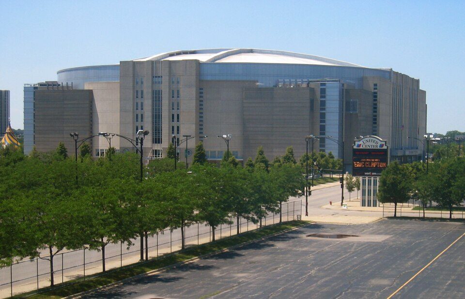
Big draw15 mi Stadium & arenaUnited Center
Big draw16 mi MuseumArt Institute of Chicago1.5M visitors a yearSoldier Field: Photo by Joon Han Contact: [email protected], CC BY-SA 3.0 · Barack Obama Presidential Center: AlphaBeta135, CC0 · Wrigley Field: Ryan Dickey, CC BY 2.0 · Rate Field: User Enoch Lai on en.wikipedia, CC BY-SA 3.0 · United Center: User:JeremyA, CC BY-SA 2.5 · Art Institute of Chicago: ajay_suresh, CC BY 2.0
Who provides power, water and the rest in Blue Island, and how to reach them.
EPA SDWIS (Oct 9, 2026) · HIFLD + EIA-861 2025 · Census 2020 ZCTAs · NCES 2024–25 · registration: vote.gov, updated Sep 12, 2025.
Ordered by what stands out in Blue Island.
Blue Island is healthier than towns with similar incomes and has seen reported crime fall by a third or more, but it carries more natural-hazard risk than most of Illinois (mostly inland flooding).
Reported crimes fell from 740 to 510 over the last three FBI years, a drop beyond ordinary year-to-year swings.
At 20.7 per 1,000 residents, Blue Island’s property crime rate is where Illinois’ towns sit at 7.9 and U.S. towns at 9.9. Blue Island’s violent crime rate is 2.8 per 1,000 residents. Blue Island reports more crime per resident than most U.S. towns we grade: about 85% report less.
| Blue Island | Illinois towns | U.S. towns | |
|---|---|---|---|
| Property crimes per 1,000 (2025) | 20.7 per 1,000 residents | 7.9 | 9.9 |
| Violent crimes per 1,000 (2025) | 2.8 per 1,000 residents | 1 | 1.6 |
FBI crime data, 2025 · crimes reported to police
FEMA rates its natural-hazard risk higher than 96% of Illinois towns, with expected losses of about $447 per resident a year; that rating is what its D for hazard risk is built on.
At 86 of 100, Blue Island’s FEMA risk score is above both the Illinois town median (50 of 100) and the median of U.S. towns (44 of 100). Since 1979, 2 flood insurance claims have been paid out in Blue Island.
FEMA flood insurance claims · FEMA National Risk Index · OpenFEMA
Jobs based here fell from 7,214 in 2013 to 4,579.
Most working residents leave Blue Island for work: only 6% work in town. 17% of residents live below the poverty line in Blue Island. Jobs based in Blue Island fell to 4,579 in 2023, 2,635 fewer than in 2013.
| Blue Island | Illinois towns | U.S. towns | |
|---|---|---|---|
| Below the poverty line | 17% | 8.4% | 9.6% |
| Median household income | $59,000 | $83,000 | $80,000 |
| Average trip to work | 29 minutes | 26 minutes | 25 minutes |
| Work from home | 8.2% | 11% | 11% |
Census LEHD 2023 · ACS
The typical Blue Island home is worth about $208,000, up 6% in a year, 30% below the Illinois typical home. 52% of Blue Island households own their home.
| Blue Island | Illinois towns | U.S. towns | |
|---|---|---|---|
| Households that own their home | 52% | 75% | 73% |
| Median rent | $1,072 a month | $1,129 a month | $1,185 a month |
Census ACS, 2020–24 · Zillow Home Value Index · Redfin Data Center
Blue Island has chilly, snowy winters and warm summers. July afternoons reach 84°, January nights drop to 17° and about 39 inches of snow falls in a winter.
NOAA U.S. Climate Normals, 1991–2020
Against the 8,775 U.S. towns with household incomes like Blue Island’s, it is healthier than 58%, so its C+ isn’t only a matter of income.
Blue Island beats the Illinois average on 2 of 32 CDC measures and trails it on 18. Only 10 of the 767 Illinois towns we compare have a higher share of adults 18 to 64 who have no health insurance than Blue Island.
| Blue Island | Illinois towns | U.S. towns | |
|---|---|---|---|
| Food insecurity (CDC PLACES) | 31% | 13% | 14% |
| No health insurance, 18–64 (CDC PLACES) | 19% | 7.9% | 8.1% |
| Feel lonely (CDC PLACES) | 38% | 33% | 33% |
| Fair or poor health (CDC PLACES) | 26% | 18% | 19% |
| What stands out | Blue Island | IL |
|---|---|---|
| Fewer adults who have had cancer | 4.9% | 7.6% |
| Fewer adults with arthritis | 21.1% | 24.2% |
| More uninsured adults | 19.4% | 9.9% |
CDC PLACES 2025 · modeled estimates for adults · CMS · HRSA
0.6 miles of trail in 7 parks and preserves. The biggest park or preserve is Calumet Woods, at 82 acres.
| Blue Island | Illinois towns | U.S. towns | |
|---|---|---|---|
| Miles of trail per square mile | 0.2 miles per square mile | 0.3 | 0.4 |
| Conserved land | 1.5% | 3.7% | 4.3% |
| Biggest places to walk | Trails | Acres |
|---|---|---|
| 1. Calumet Woods | — | 82 |
| 2. Louis S. Viverito Park | 0.2 mi | 10 |
| 3. Memorial Park | — | 10 |
Trails & parks © OpenStreetMap contributors · Conserved land: USGS PAD-US
27 within 15 miles of the center of Blue Island
About 4 of every 100 Blue Island residents are enrolled in college, against 6 across Illinois.
Where Blue Island’s working residents go each day. Line width shows the share.
Census LEHD 2023
33 notable people were born in Blue Island.
City in Illinois, United States
Blue Island is a city in Cook County, Illinois, United States, 16 miles (26 km) south of Chicago's Loop. Blue Island is adjacent to the city of Chicago and shares its northern boundary with that city's Morgan Park neighborhood. The population was 22,558 at the 2020 United States census. Blue Island was established in the 1830s as a way station for settlers traveling on the Vincennes Trace, and the settlement prospered because it was conveniently situated a day's journey outside of Chicago. In 1884, Alfred T. Andreas observed, "The location of Blue Island Village is a beautiful one. Nowhere about Chicago is there to be found a more pleasant and desirable resident locality." Since its foundin…
From Wikipedia, licensed CC BY-SA 4.0 · facts via Wikidata (CC0)
8 towns share a border with Blue Island.
| Town | IL rank | Overall | Cost | Safety | Schools | Health |
|---|---|---|---|---|---|---|
| Blue Island | #707 | D | B− | C− | C− | C+ |
| Calumet Park | #753 | D− | C+ | D | C− | C |
| Alsip | #666 | C− | C+ | C− | C− | B |
| Riverdale | #761 | D− | B− | — | D | D− |
| Robbins | #738 | D | B− | — | C− | D |
| Calumet Township | #740 | D | C+ | — | C− | D |
| Dixmoor | #728 | D | B− | — | D | C− |
| Chicago | #676 | C− | C− | D | C | B+ |
Riverdale, Robbins, Calumet Township and Dixmoor report no FBI crime data of their own. Compare Blue Island with a neighbor →
Short answers, built from the data on this page.
Blue Island grades D overall, better than 12% of U.S. towns and #707 of 767 in Illinois. It grades C+ for health, C− for safety and C− for schools. Hazard risk is its weak spot, with a D.
That is 2.3 years of the area's median household income ($90,887 across the Chicago-Naperville-Elgin, IL-IN metro area).
33 notable people were born here, including Gary Sinise and Marcheline Bertrand.