Berkeley in pictures
Census counts: 779 in 1930, 5,338 in 2020. The archive holds 17 old photos and papers going back to 1979 and 8 maps from 1891 on.
Explore the history →Each edition grades its towns against each other only.
A town of 5,141.
Berkeley grades C+ overall, 561st among Illinois's 767 graded towns, with clear strengths and some subjects that lag. On the other side, its public schools trail 82% of Illinois towns on state tests and graduation. It also does better than most on safety: it reports less crime per resident than 68% of U.S. towns. Its lowest everyday mark is in cost of living: the typical home is worth about $305K, 3.4 years of the Chicago metro’s $91K median household income. 18% of residents live below the poverty line in Berkeley, against 8.4% in Illinois’ towns and 9.6% across U.S. towns.
Where Berkeley beats most towns.
Where Berkeley’s working residents go each day. Line width shows the share.
Census LEHD 2023
Each subject compared with towns across the country (schools within Illinois), ordered by how far Berkeley is from typical.
How TownRatings grades towns →
Census counts: 779 in 1930, 5,338 in 2020. The archive holds 17 old photos and papers going back to 1979 and 8 maps from 1891 on.
Explore the history →Museums, parks, gardens and other places to visit around Berkeley. Close and well known come first.
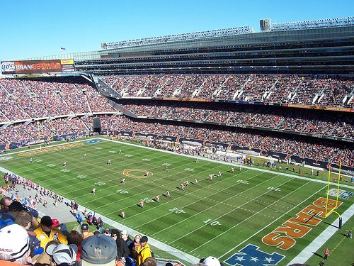
Big draw15 mi Stadium & arenaSoldier Field
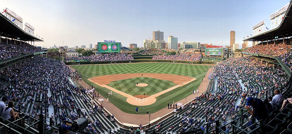
Big draw14 mi Stadium & arenaWrigley Field
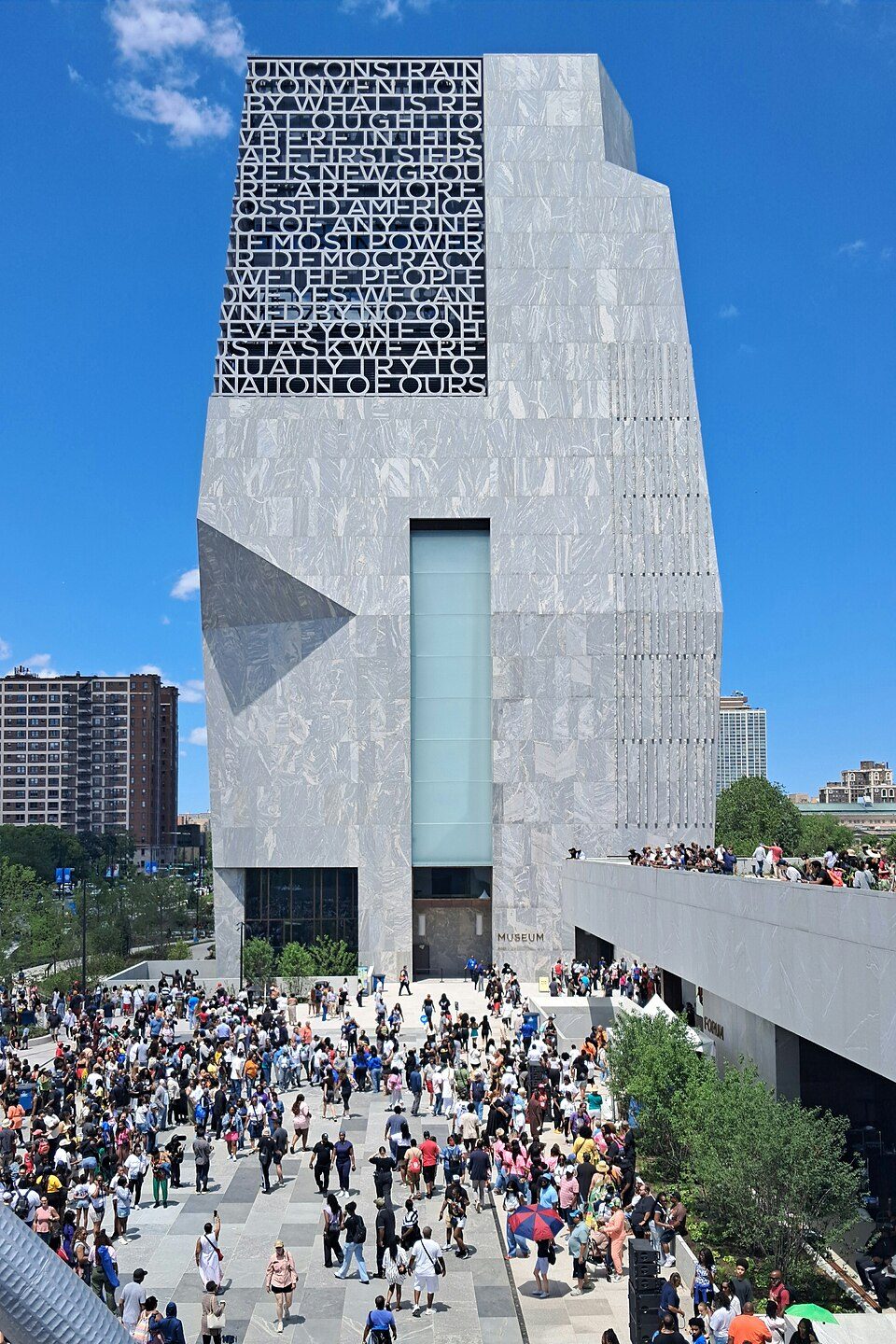
Big draw18 mi MuseumBarack Obama Presidential Center
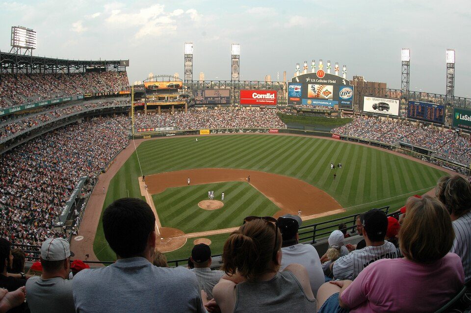
Big draw15 mi Stadium & arenaRate Field
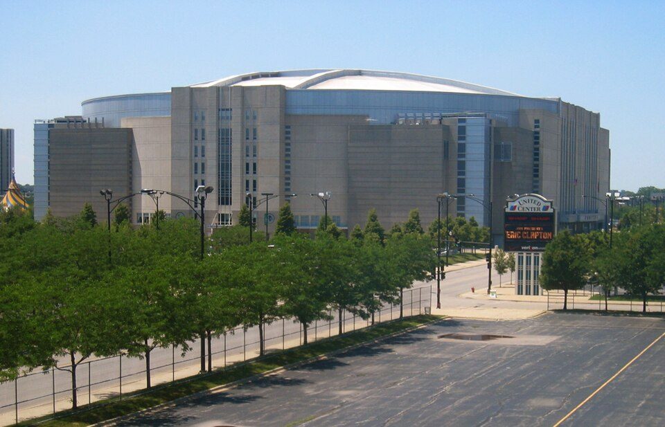
Big draw12 mi Stadium & arenaUnited Center
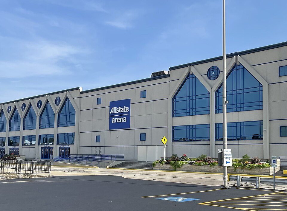
8 mi Stadium & arenaAllstate ArenaSoldier Field: Photo by Joon Han Contact: [email protected], CC BY-SA 3.0 · Wrigley Field: Ryan Dickey, CC BY 2.0 · Barack Obama Presidential Center: AlphaBeta135, CC0 · Rate Field: User Enoch Lai on en.wikipedia, CC BY-SA 3.0 · United Center: User:JeremyA, CC BY-SA 2.5 · Allstate Arena: Nkon21, CC BY-SA 4.0
Who provides power, water and the rest in Berkeley, and how to reach them.
EPA SDWIS (Oct 9, 2026) · HIFLD + EIA-861 2025 · Census 2020 ZCTAs · NCES 2024–25 · registration: vote.gov, updated Sep 12, 2025.
Ordered by what stands out in Berkeley.
Berkeley has seen reported crime fall beyond ordinary swings, but it has lost a quarter or more of its jobs in ten years.
Jobs based here fell from 1,633 in 2013 to 1,185.
Most working residents leave Berkeley for work: only 2% work in town. Jobs locally fell by 448 from 2013 to 2023, to 1,185. Half commute less than 10 miles. The top destinations are Chicago (27%), Elmhurst (3%) and Oak Brook (3%).
| Berkeley | Illinois towns | U.S. towns | |
|---|---|---|---|
| Working residents who work in town | 1.6% | 8.4% | 8% |
| Average trip to work | 28 minutes | 26 minutes | 25 minutes |
| Median household income | $86,000 | $83,000 | $80,000 |
Census LEHD 2023 · ACS
Reported crimes fell from 44 to 39 over the last three FBI years, a drop beyond ordinary year-to-year swings. Violent crime is rare: 3 reported in 2025, 0.6 per 1,000 residents.
The violent offense rate in Berkeley is 0.6 per 1,000 residents. The rate of thefts and burglaries locally is 7 per 1,000 residents.
| Berkeley | Illinois towns | U.S. towns | |
|---|---|---|---|
| Violent crimes per 1,000 (2025) | 0.6 per 1,000 residents | 1 | 1.6 |
| Property crimes per 1,000 (2025) | 7 per 1,000 residents | 7.9 | 9.9 |
FBI crime data, 2025 · crimes reported to police
The range runs from 17° on a January night to 84° on a July afternoon, with about 42 inches of snow a winter.
NOAA U.S. Climate Normals, 1991–2020
For adults in Berkeley, the share who smoke cigarettes is 12%. CDC measures, 32 in all: Berkeley beats Illinois on 2 and trails on 11. Among adults in the town, 36% feel lonely and 39% sleep under 7 hours.
| Berkeley | Illinois towns | U.S. towns | |
|---|---|---|---|
| Food insecurity (CDC PLACES) | 24% | 13% | 14% |
| No health insurance, 18–64 (CDC PLACES) | 15% | 7.9% | 8.1% |
| Feel lonely (CDC PLACES) | 36% | 33% | 33% |
| Sleep under 7 hours (CDC PLACES) | 39% | 35% | 36% |
| What stands out | Berkeley | IL |
|---|---|---|
| Fewer adults who have had cancer | 5.9% | 7.6% |
| Fewer adults with depression | 17.6% | 19.8% |
| More adults facing food insecurity | 23.9% | 15.9% |
CDC PLACES 2025 · modeled estimates for adults · CMS · HRSA
FEMA puts 48% of Berkeley’s expected hazard losses down to inland flooding, and 27% to cold waves. Expected storm and flood damage is lower than in 53% of U.S. communities. Paid flood insurance claims in the town since 2013: 2.
FEMA flood insurance claims · FEMA National Risk Index · OpenFEMA
Over the 12 months to September 2026, the typical home gained 5.5% in value. Berkeley’s median rent stands at $1,434 a month. Homes sold in Berkeley spent a median 38 days on the market.
Census ACS, 2020–24 · Zillow Home Value Index · Redfin Data Center
Parks and preserves in Berkeley: one, of 10 acres.
| Biggest places to walk | Trails | Acres |
|---|---|---|
| 1. Berkeley Park | — | 10 |
Trails & parks © OpenStreetMap contributors · Conserved land: USGS PAD-US
46 within 15 miles of the center of Berkeley
About 4 of every 100 Berkeley residents are enrolled in college, against 6 across Illinois.
Village in Illinois, United States
Berkeley (pronounced BURK-lee) is a village in Cook County, Illinois, United States. Incorporated in 1924, the population at the 2020 census was 5,338. The town has a commuter railroad station on Metra's Union Pacific West Line with service to downtown Chicago. Berkeley is situated fourteen miles west of the Chicago Loop in Cook County. Berkeley is on the western edge of Cook County. Berkeley has instant access to the metropolitan area, with Interstates 290 and 294 comprising its western and part of its southern boundaries, and the Union Pacific Railroad (originally the Chicago & North Western) and the large Proviso classification yard to the north. However, the transit arteries that link B…
From Wikipedia, licensed CC BY-SA 4.0 · facts via Wikidata (CC0)
7 towns share a border with Berkeley.
| Town | IL rank | Overall | Cost | Safety | Schools | Health |
|---|---|---|---|---|---|---|
| Berkeley | #561 | C+ | C− | B+ | C− | B |
| Hillside | #559 | C+ | C | C | C | B |
| Bellwood | #682 | C− | C | C+ | D | C+ |
| Northlake | #574 | C | C+ | B− | C− | B− |
| Melrose Park | #670 | C− | C | C | C− | C+ |
| Proviso Township | #512 | C+ | C | — | C | B+ |
| York Township | #220 | A− | D | — | B+ | A |
| Elmhurst | #93 | A | D | A− | A− | A+ |
Proviso Township and York Township report no FBI crime data of their own. Compare Berkeley with a neighbor →
Short answers, built from the data on this page.
Berkeley grades C+ overall, better than 35% of U.S. towns and #561 of 767 in Illinois. It grades B for health, B+ for safety and C− for schools. Schools is its weak spot, with a C−.
Yes. Cost of living, which also weighs rents, property taxes and how many households pay 30% or more of their income for housing, grades C−.