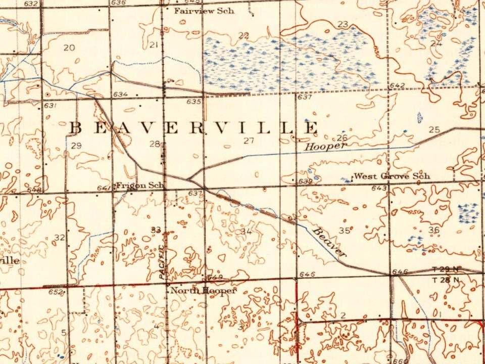
Chicago Board of Trade Building · Photo: Joe Ravi (Shutterstock iStock Dreamstime) · CC BY-SA 3.0
–Not graded
History · Beaverville Township
Beaverville Township dates to 1851, and 33% of its homes were built before 1940
2 places in town are on the National Register, among them the Chicago Board of Trade Building, a National Historic Landmark. Below: maps from 1939 on and the census since 1900.
In 1851, 32 families from the area of Montreal, Canada, mostly newlywed or single, came up the St. Lawrence River in search of farmland on the prairie. They traveled across the Great Lakes and stopped at Fort Dearborn (Chicago). Then they pushed south through the swamps and frontier until they reached the area that is now Beaverville. The settlement, named "St. Marie," was led by Francis Besse, who became a general merchant. The group consisted of families with names such as Fortin, Dionne, Boudreau, Benoit, Nourie, Lafond, Lemna, and at least six Arseneau families. They settled here because of the good land and the many creeks.
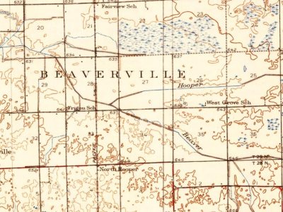
Every edition of the U.S. Geological Survey’s map of Beaverville Township. Tap a year, or press play to watch the town change.
1939Watseka sheet · 1:62,500
U.S. Geological Survey historical topographic maps (public domain), via Esri’s collection of the scans. The red ring marks the center of Beaverville Township.
People over time
Beaverville Township, census by census
Between 278 and 442 people in every census since 1900.
13 censuses, 1900–2020.
U.S. Census Bureau decennial counts, from the census table on Beaverville Township’s Wikipedia page.
Famous people
Famous people close to Beaverville Township
Nobody well known was born in Beaverville Township itself, so here are the best known from just nearby.
Founding dates: Wikidata, Wikipedia, the U.S. post office records of Blevins & Helbock (CC0) and the Census. Homes by year built: Census ACS 2020–24. National Register of Historic Places: National Park Service (list of May 22, 2026). Old photos, postcards and papers: Wikimedia Commons, the Library of Congress and other public archives, credited on each item’s page. Maps: U.S. Geological Survey historical topographic maps (via Esri) and Sanborn fire-insurance maps (Library of Congress). History text and census tables: Wikipedia (CC BY-SA 4.0). Places that used to be: USGS Geographic Names Information System (2021). How TownRatings grades history →
From Wikimedia Commons (2), the National Register of Historic Places (1), Wikipedia, U.S. Geological Survey historical maps, U.S. Census counts (via Wikipedia) and the USGS Geographic Names Information System. Archive images are copied here with their credits and licenses, shown on each photo’s page. Refreshed monthly.
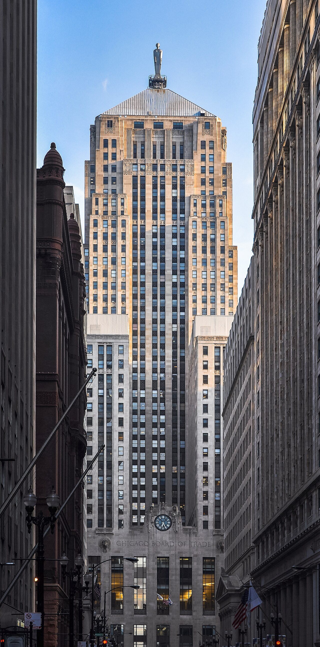
 ★ Landmark
 2015
 2006