First pick
Mountjoy Square Park
Park or garden · 310 m outside town
1.8 ha0.7 km of path
10 minto walk all 0.7 km of path
0.8 km eastfrom the centre
Directionsto a point inside
Each edition grades its towns against each other only.
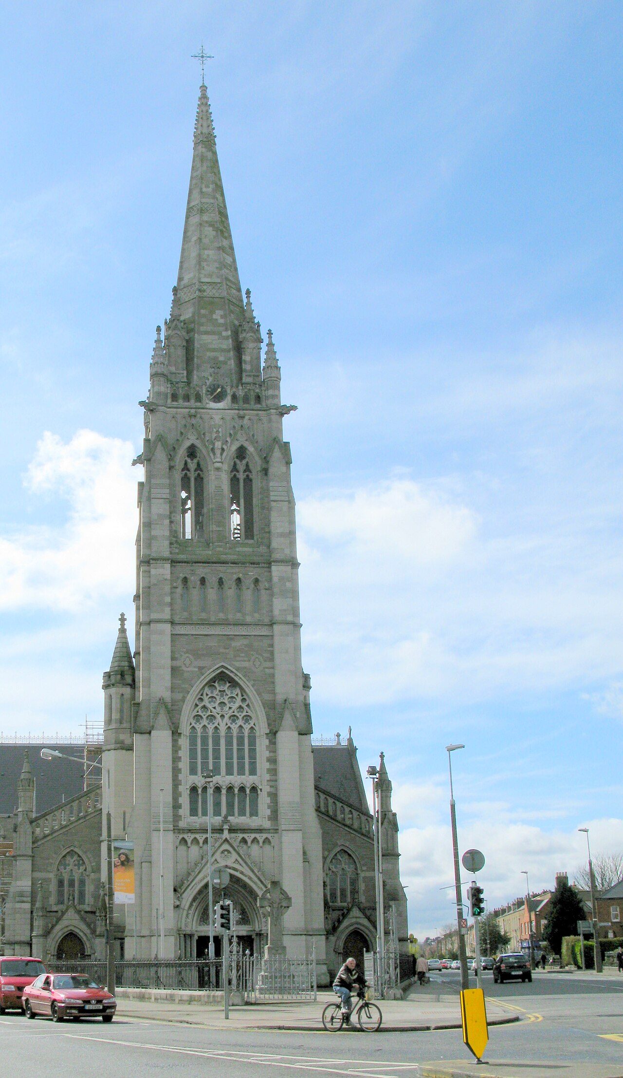 Photo: RustyTheDog · CC BY-SA 3.0
71 km of footpaths run through the neighbourhood and the kilometre around it, 7.6 for every square kilometre. Wicklow Mountains National Park begins 12 km away. 100% of residents live within a 5-minute walk of a park or playing field.
Read from the data: what stands out first, good and bad.
Phibsborough’s strongest suit is dense footpaths, followed by parks close to every home. Where it falls short is park space per person.
Each figure against Ireland’s 321 towns and city neighbourhoods of 2,500+ (city hubs left out): the marked bar is the town’s, the line the median. Ireland has no Outdoors Grade yet: the figures are described, each against other Irish towns, and none of them counts towards the overall grade.
Parks, paths and woods: OpenStreetMap; residents: CSO Census 2022 Small Areas; protected sites: NPWS; sea: CSO and ONS land outlines. A 0 means nothing is mapped.
The 40 Irish towns nearest in population (10,044 to 13,675 residents), by km of footpath per km². Hover for each one’s protected land and woods; click for its page.
From Kilmainham (7.7 km per km²) to Enniscorthy (0.4 km per km²).
Against towns its size, Phibsborough stands out most for path per km²: only 1 of the other 39 has more. It falls furthest behind on park space per resident, where 36 of the others do better.
| Town | Paths (km/km²) | Woodland | Protected | The sea | |
|---|---|---|---|---|---|
| 1 | Kilmainham Dublin | 7.7 | 7.3% | 0% | – |
| 2 | Phibsborough Dublin | 7.6 | 0.4% | 0% | – |
| 3 | Kilnamanagh Dublin | 7.4 | 3.9% | 0.5% | – |
| 4 | Fettercairn Dublin | 7 | 3.5% | 0.4% | – |
| 5 | Palmerston Dublin | 6.9 | 8.6% | 0% | – |
| 6 | Firhouse Dublin | 6.8 | 4.4% | 4.2% | – |
| 7 | Ronanstown Dublin | 6.6 | 0.7% | 0% | – |
| 8 | Parnell Square Dublin | 6.6 | 0.2% | 0.1% | 5.6% |
| 9 | Ballsbridge Dublin | 6.3 | 1.3% | 1.2% | 18% |
| 10 | Ballygall Dublin | 6.3 | 1.4% | 0% | – |
| 11 | Summerhill Dublin | 6 | 0.4% | 0.2% | 8.5% |
| 12 | Foxrock Dublin | 5.8 | 5.3% | 0.2% | 25% |
| 13 | Churchtown Dublin | 5.6 | 3.3% | 0.1% | – |
| 14 | Drumcondra Dublin | 5.6 | 1.6% | 0.8% | 6.9% |
| 15 | Finglas South Dublin | 5.6 | 1.7% | 0% | – |
| 16 | Whitehall Dublin | 5.6 | 2.6% | 0.3% | – |
| 17 | Sallynoggin Dublin | 5 | 2% | 0.3% | 47% |
| 18 | Terenure Dublin | 4.9 | 2.1% | 0% | – |
| 19 | Blackrock Dublin | 4.7 | 1.4% | 0.2% | 30% |
| 20 | Ongar Dublin | 4.2 | 2.7% | 0.2% | – |
| 21 | Shankill Dublin | 3.6 | 12% | 3.8% | 28% |
| 22 | Hollystown Dublin | 3.3 | 2% | 0% | – |
| 23 | Portmarnock Dublin | 2.7 | 0.8% | 7.9% | 44% |
| 24 | Skerries Dublin | 2 | 1.7% | 0% | 53% |
| 25 | Shannon Clare | 1.8 | 3.9% | 35% | – |
| 26 | Ratoath Meath | 1.3 | 0.4% | 0% | – |
| 27 | Kildare Kildare | 1.1 | 0.4% | 1.8% | – |
| 28 | Wicklow Wicklow | 1.1 | 0.9% | 4.3% | 38% |
| 29 | Rush Dublin | 1.1 | 0.4% | 3.7% | 51% |
| 30 | Castlebar Mayo | 1 | 3.1% | 2.3% | – |
| 31 | Athy Kildare | 0.9 | 0.3% | 1.6% | – |
| 32 | Ballina Mayo | 0.8 | 3.3% | 3.5% | – |
| 33 | Tramore Waterford | 0.8 | 0.9% | 3.9% | 34% |
| 34 | Dungarvan Waterford | 0.7 | 0.7% | 1.8% | 19% |
| 35 | Arklow Wicklow | 0.7 | 5.7% | 0.3% | 34% |
| 36 | Gorey Wexford | 0.7 | 3.9% | 0.5% | – |
| 37 | Cavan Cavan | 0.6 | 6.7% | 5.1% | – |
| 38 | Longford Longford | 0.6 | 2.7% | 5.6% | – |
| 39 | Mallow Cork | 0.6 | 5.1% | 3.2% | – |
| 40 | Enniscorthy Wexford | 0.4 | 6.9% | 2.1% | – |
Tap a number to zoom to a park. Tap a layer to hide it. The dashed line is Phibsborough’s neighbourhood.
The biggest is Mountjoy Square Park, 1.8 ha (4 acres).
No single park or wood dominates: the biggest is 17% of the named green space. 14 of the 14 are under 2 ha.
Named parks, gardens, commons and woods in the town or within 400 m of it, from OpenStreetMap (© OpenStreetMap contributors, ODbL); pieces of one name that touch are one place. Sizes are the whole site; directions go to a point inside.
Each square is 1 in 100 residents: green lives within 400 m of a public park, garden or playing field (CSO Census 2022 Small Areas against OpenStreetMap).
Playing fields count, so a park within reach isn’t always one with paths or trees.
Special Areas of Conservation, Special Protection Areas and Natural Heritage Areas designated by the National Parks and Wildlife Service, within 5 km of the town’s edge.
2 protected sites lie within 5 km of Phibsborough. Ireland’s National Parks have a block of their own on this page; much of their land also lies inside these sites.
Protected sites: National Parks and Wildlife Service designated site boundaries (CC BY 4.0), 2026; land within 5 km from CSO Small Areas and, over the border, ONS. Overlapping sites are counted once.
Ireland’s National Parks within 100 km, and the nearest always, by direction and distance from the town’s edge; circle size shows each park’s area.
National Park boundaries: National Parks and Wildlife Service, generalised to 50 m (CC BY 4.0, © Government of Ireland), 2022. Distances from the town’s outline (CSO Small Areas).
Footways that aren’t pavements, paths, bridleways, steps and tracks open on foot, and mapped woods and forest, in the town and 1 km around it, each beside the county’s and Ireland’s typical town of 2,500+.
Phibsborough has more footpath per km² than 96% of Irish towns and less woodland than 94% of Irish towns.
Footpaths and woods: © OpenStreetMap contributors (ODbL), Geofabrik extract, October 2026. Woods are mapped cover, private and Coillte forests included.
71 km of footpaths are mapped in Phibsborough and the kilometre around it, 7.6 km for every square kilometre (the typical Irish town has 2.1).
The National Famine Way (169 km end to end) passes through Phibsborough. One cycling or paddling trail also starts within 5 km.
Trails: Sport Ireland National Trails Register (CC BY 4.0), registered trails within 5 km; footpaths: OpenStreetMap (ODbL). More waymarked walks: OpenStreetMap route relations (ODbL) within 2 km, those already on the register left out. Coillte’s own forest trails and recreation sites aren’t included: Coillte’s terms limit its data to research or private study. Its trails on the National Trails Register are listed.
Parks, gardens, walled gardens and demesne walls in the town on the National Inventory of Architectural Heritage, each with its record.
The oldest dated is Saint Michan's Park, from 1780.
National Inventory of Architectural Heritage, Department of Housing, Local Government and Heritage (CC BY 4.0).
Met Éireann’s 1991–2020 averages for the town’s 1 km square and the daylight at its latitude. Outlined months have long days, highs of 15 to 30 °C and little rain for the place.
| Jan | Feb | Mar | Apr | May | Jun | Jul | Aug | Sep | Oct | Nov | Dec | |
|---|---|---|---|---|---|---|---|---|---|---|---|---|
| Daylight (h) | 8.0 | 9.7 | 11.7 | 13.9 | 15.8 | 17.0 | 16.5 | 14.8 | 12.6 | 10.4 | 8.5 | 7.5 |
| High (°C) | 9 | 9 | 11 | 13 | 16 | 18 | 20 | 20 | 18 | 14 | 11 | 9 |
| Rain (mm) | 61 | 52 | 52 | 51 | 55 | 63 | 59 | 68 | 62 | 76 | 84 | 72 |
April is the driest month (51 mm) and July the warmest (highs of 20 °C). Winter days are short, about 7.5 hours of daylight in December, and 84 mm of rain falls in November, the wettest month. The climate in Phibsborough →
3.4% of the area within 5 km of Phibsborough is sea. One bathing water is within 5 km.
It isn’t rated excellent this season.
Bathing water classes: EPA, latest season (CC BY 4.0). Sea: the area outside CSO and ONS land outlines. Check today’s water quality on beaches.ie
Mapped on OpenStreetMap in the town and 2 km around it; each count per resident beside Irish towns’ typical town of 2,500+. Beaches are on the coast’s list, from the EPA.
Per resident, viewpoints stand out most: Phibsborough has 11.7× as many as the typical Irish town.
Plus 4 viewpoints without a name on the map.
Plus 1 waterfall without a name on the map.
Plus 89 playgrounds without a name on the map.
Source: © OpenStreetMap contributors (ODbL), Geofabrik extract, October 2026. Unnamed places are counted, not listed.
Gardens, national parks, nature sites and islands within 15 km of the town’s edge, each with its own page.
Places to visit: Fáilte Ireland open data (CC BY 4.0), OpenStreetMap and Wikidata.
The nearest towns of 1,000+ within 20 km, coloured by the share of the land within 5 km protected for nature.
| Town | Near a park | Green space, ha per 1,000 | Paths (km/km²) | Protected within 5 km |
|---|---|---|---|---|
| Phibsborough | 100% | 1.3 | 7.6 | 0% |
| Parnell Square 0.5 km | 100% | 1.0 | 6.6 | 0.1% |
| Stoneybatter 0.9 km | 100% | 38.8 | 7.5 | 0% |
| Summerhill 0.9 km | 100% | 0.7 | 6.0 | 0.2% |
| O'Connell Street 1.0 km | 100% | 1.6 | 8.1 | 0.1% |
| Cabra East 1.2 km | 91% | 56.9 | 8.0 | 0% |
| Ballybough 1.4 km | 100% | 3.3 | 5.5 | 1% |
None of the neighbours has many more of its people near a park than Phibsborough. Stoneybatter, Cabra East and Ballybough have at least twice Phibsborough’s green space per resident.
King's Inns Park, 1.8 ha (4 acres). Mountjoy Square Park (1.8 ha) is second. 15 named parks, gardens and playing fields are in the neighbourhood or within 400 m of it.
2 protected sites lie within 5 km, though together they cover under 1% of the land. The nearest is South Dublin Bay and River Tolka Estuary SPA, 2.0 km from the edge of town.
5 waymarked trails start within 5 km, including the National Famine Way, Royal Canal Way and Royal Canal Greenway - Drumcondra - Ashtown - Castleknock.
The nearest bathing water is Sandymount Strand, 4.8 km from town: Sufficient (2025). Check beaches.ie before swimming: a notice can close a beach for the day.
100% of residents live within 400 m, about a 5-minute walk, of a park or playing field; in the typical Irish town it is 92%.
On the town’s 1991–2020 averages and its daylight: May to September, when days are long, highs reach 15 °C and rain is light for the place.
The nearest of Ireland’s six National Parks is Wicklow Mountains National Park, 12 km south of the town’s edge; it covers about 223 km².
Within 2 km, OpenStreetMap maps 5 viewpoints and 1 waterfall; the named ones are listed under Things to do, with directions.
The National Inventory of Architectural Heritage records 2 historic parks, gardens and demesnes in the town, among them King's Inns and Saint Michan's Park.
Protected sites: National Parks and Wildlife Service (CC BY 4.0). Trails: Sport Ireland National Trails Register (CC BY 4.0). Bathing water: EPA (CC BY 4.0). Parks, woods and paths: © OpenStreetMap contributors (ODbL).
Not on this page yet: Coillte’s forest trails (its terms) and bike routes.
Contains Central Statistics Office (CSO) data, Census 2022, and Tailte Éireann boundaries (CSO Urban Areas, Small Areas, local electoral areas, constituencies), under Creative Commons Attribution 4.0 (CC BY 4.0).