McCammon’s post office opened in 1883, and 28% of its homes were built before 1940
Its Register listings are the McCammon State Bank Building and the Harkness, H. O., Stable Building. Its Register listings are the McCammon State Bank Building and the Harkness, H. O., Stable Building. Below: 1 old photo or paper, maps from 1909 on, and the census since 1910.
Wikipedia doesn’t have a history of McCammon yet. The photos, dates and memories neighbors add here are how it gets written.
McCammon is a city in Bannock County, Idaho, United States. It is part of the Pocatello, Idaho Metropolitan Statistical Area. The population was 825 at the 2020 census. In 1892, McCammon became the junction point between the Oregon Short Line Railroad and Utah and Northern Railway, and the city gained the nickname Junction City.
Its first post office opened in 1883. Its population held steady between the last two censuses: 809 in 2010, 825 in 2020.
Intro from Wikipedia. Population: U.S. Census Bureau.
From the old history books
What they wrote about McCammon in 1915
Passages that mention McCammon, cut from the printed page as they were published.
The history of Bannock County, Idaho1915 · page (103)Read the page →
Read the text
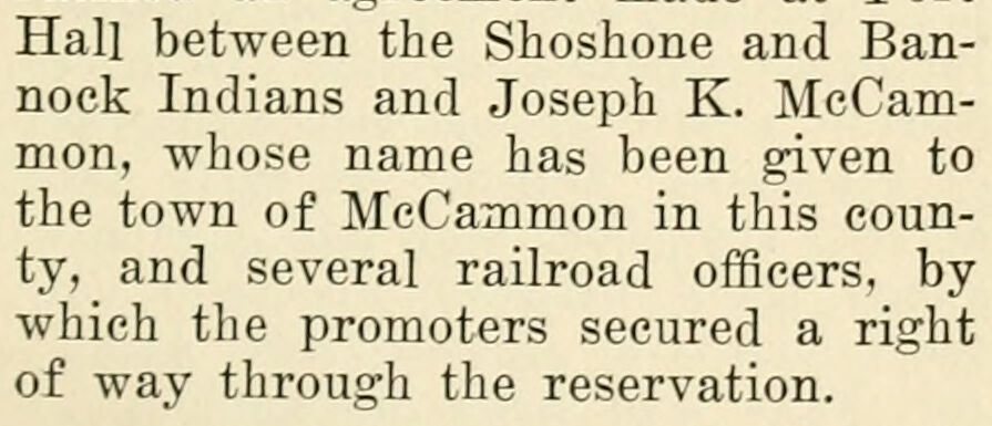
Hall between the Shoshone and Bannock Indians and Joseph K. McCammon, whose name has been given to the town of McCammon in this county, and several railroad officers, by which the promoters secured a right of way through the reservation.
Text read by machine from the scan; it may contain errors.
The history of Bannock County, Idaho1915 · page (93)Read the page →
Read the text
History of Bannock County Creek, a few miles west of the present town of McCammon. A stage of the Concord type, carrying several passengers and $60,000 of private money, was betrayed by its driver, Frank Williams, to a gang led by Jim Locket. As he rounded a steep hill,
Text read by machine from the scan; it may contain errors.
Scans and text from the Internet Archive. Books published in 1930 or earlier, which are in the public domain.
Every edition of the U.S. Geological Survey’s map of McCammon. Tap a year, or press play to watch the town change.
1968Mc Cammon sheet · 1:24,000
U.S. Geological Survey historical topographic maps (public domain), via Esri’s collection of the scans. The red ring marks the center of McCammon.
Every building
McCammon, building by building, 1909–1929
Fire insurance maps drew every building, what it was made of and what it was used for, so insurers could price the risk of fire. Pick a year, then a sheet.
1909Sheet 1 of 1
Edition
Sheets
BrickWoodStone
Sanborn Map Company, via the Library of Congress. Editions published in 1930 or earlier, which are in the public domain.
Then & now
Stand where they stood
No then-and-now pairs yet. Take a photo from the same spot as an old one and they appear here side by side.
Retake this viewMcCammon Overhead & River Crossing Bridge, Interstate 15, Business, 3.3 mile post
Find the spot, match the angle, and add your photo. It becomes the first then-and-now pair on McCammon’s page.
Founding dates: Wikidata, Wikipedia, the U.S. post office records of Blevins & Helbock (CC0) and the Census. Homes by year built: Census ACS 2020–24. National Register of Historic Places: National Park Service (list of May 22, 2026). Old photos, postcards and papers: Wikimedia Commons, the Library of Congress and other public archives, credited on each item’s page. Maps: U.S. Geological Survey historical topographic maps (via Esri) and Sanborn fire-insurance maps (Library of Congress). History text and census tables: Wikipedia (CC BY-SA 4.0). Places that used to be: USGS Geographic Names Information System (2021). How TownRatings grades history →
From Wikimedia Commons (4), the Library of Congress (1), Wikidata (1), the National Register of Historic Places (2), U.S. Geological Survey historical maps, U.S. Census counts (via Wikipedia), the US Post Offices dataset (Blevins & Helbock), the USGS Geographic Names Information System, Sanborn fire insurance maps (Library of Congress) and old county and town histories (Internet Archive). Archive images are copied here with their credits and licenses, shown on each photo’s page. Refreshed monthly.


 Date?
 2014
 2014
 2010
 2004


