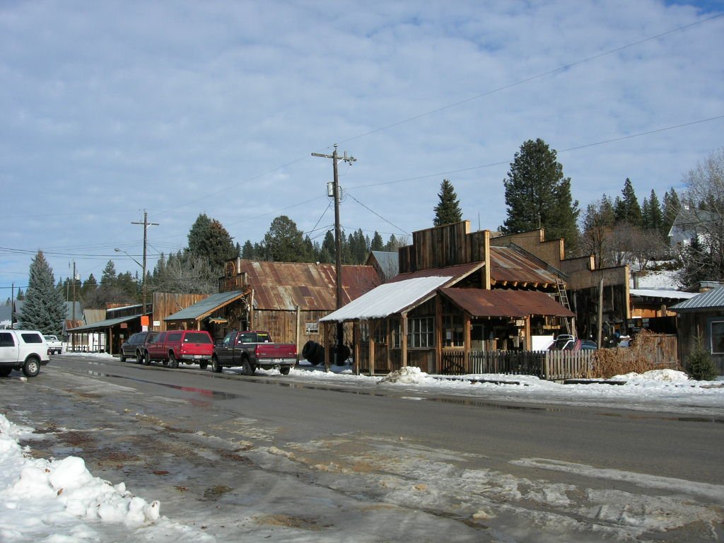
Idaho City was founded in December 1862 as “Bannock” (sometimes given as “West Bannock”), amidst the Boise Basin gold rush during the Civil War, the largest since the California gold rush a dozen years earlier. Near the confluence of Elk and Mores Creeks, its plentiful water supply allowed it to outgrow the other nearby camps in the basin, such as Placerville, Pioneerville, and Centerville. As its population swelled, the new Idaho Territorial legislature changed the town's name to “Idaho City,” to avoid confusion with Bannack, in present-day Beaverhead County, the southwestern corner of Montana.
Every edition of the U.S. Geological Survey’s map of Idaho City. Tap a year, or press play to watch the town change.
1957Idaho City sheet · 1:24,000
U.S. Geological Survey historical topographic maps (public domain), via Esri’s collection of the scans. The red ring marks the center of Idaho City.
Every building
Idaho City, building by building, 1900–1914
Fire insurance maps drew every building, what it was made of and what it was used for, so insurers could price the risk of fire. Pick a year, then a sheet.
1900Sheet 1 of 1
Edition
Sheets
BrickWoodStone
Sanborn Map Company, via the Library of Congress. Editions published in 1930 or earlier, which are in the public domain.
On the National Register
1 listing protects 15 historic buildings
The country’s official list of buildings and places worth saving.
In 1862, according to Wikidata and Wikipedia’s history of the town. Idaho City’s post office opened in 1864, and the census of 1880 counted 672 people here.
Founding dates: Wikidata, Wikipedia, the U.S. post office records of Blevins & Helbock (CC0) and the Census. Homes by year built: Census ACS 2020–24. National Register of Historic Places: National Park Service (list of May 22, 2026). Old photos, postcards and papers: Wikimedia Commons, the Library of Congress and other public archives, credited on each item’s page. Maps: U.S. Geological Survey historical topographic maps (via Esri) and Sanborn fire-insurance maps (Library of Congress). History text and census tables: Wikipedia (CC BY-SA 4.0). Places that used to be: USGS Geographic Names Information System (2021). How TownRatings grades history →
From the National Register of Historic Places (1), Wikipedia, Wikidata and Wikipedia for famous people, U.S. Geological Survey historical maps, U.S. Census counts (via Wikipedia), the US Post Offices dataset (Blevins & Helbock), the USGS Geographic Names Information System and Sanborn fire insurance maps (Library of Congress). Archive images are copied here with their credits and licenses, shown on each photo’s page. Refreshed monthly.