C.C. Whitten, an official for the Northwestern Railway System, platted the town in 1880. Whitten was incorporated in 1882 with a population of 350. By 1914, Whitten was proud of its church membership of 170, its schools, three general stores, a blacksmith shop, restaurant, bank, produce house, implement store, and two doctors. In fact, Whitten was never without a doctor until 1973 when Dr. George Blaha died after serving the community for 60 years.
In the early 20th century, the city experienced several devastating fires which destroyed much of the town. The city rebuilt very little.
The Whitten Renagades semi-pro baseball team, managed by James Speas, played for over 2 decades with their final season in 1996.
Passages that mention Whitten, cut from the printed page as they were published.
History of Hardin county, Iowa, together with sketches of its towns, villages and townships, educational, civil, military and political history ... and biographies of representative citizens1883 · page 917Read the page →
Read the text
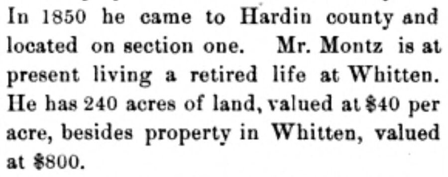
In 1850 he came to Hardin county and located on section one. Mr. Montz is at present living a retired life at Whitten. He has 240 acres of land, valued at $40 per acre, besides property in Whitten, valued at #800.
Text read by machine from the scan; it may contain errors.
Scans and text from the Internet Archive. Books published in 1930 or earlier, which are in the public domain.
Timeline
Whitten, 1880 to 1954
Woven from the archive, old maps, post office records, the National Register and the people born here.
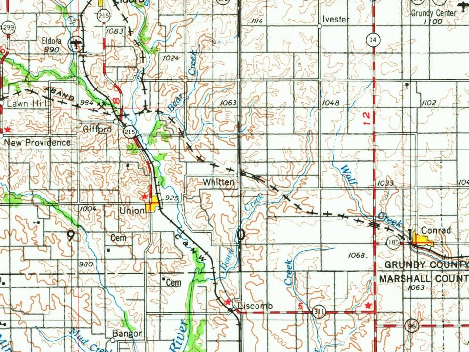
Founding dates: Wikidata, Wikipedia, the U.S. post office records of Blevins & Helbock (CC0) and the Census. Homes by year built: Census ACS 2020–24. National Register of Historic Places: National Park Service (list of May 22, 2026). Old photos, postcards and papers: Wikimedia Commons, the Library of Congress and other public archives, credited on each item’s page. Maps: U.S. Geological Survey historical topographic maps (via Esri) and Sanborn fire-insurance maps (Library of Congress). History text and census tables: Wikipedia (CC BY-SA 4.0). Places that used to be: USGS Geographic Names Information System (2021). How TownRatings grades history →
From Wikipedia, U.S. Geological Survey historical maps, U.S. Census counts (via Wikipedia), the US Post Offices dataset (Blevins & Helbock), the USGS Geographic Names Information System and old county and town histories (Internet Archive). Archive images are copied here with their credits and licenses, shown on each photo’s page. Refreshed monthly.