West Liberty’s post office opened in 1838, and 21% of its homes were built before 1940
More historic than 91% of U.S. towns · #23 of 140 in Iowa. What drives it
3 places in town are on the National Register, among them two historic districts with 57 buildings between them. Below: maps from 1886 on and the census since 1880.
Founding year: the first West Liberty post office (Blevins & Helbock, CC0).The full story ↓
History grade
What drives West Liberty’s History grade
On its age, its old homes and the National Register, West Liberty is more historic than 91% of U.S. towns, #23 of 140 in Iowa. All 3 inputs are above most U.S. towns; its National Register listings ranks highest and its share of homes from before 1940 lowest.
A
HistoryA character grade: shown, never part of West Liberty’s overall grade.
Iowa towns list more on the Register than most of the country (a typical Iowa town has 9.1 per 10,000 residents, the U.S. 2.4), so West Liberty’s 154 sits above most of its state (90% of Iowa towns have fewer) while its 58 historic buildings outnumber those of 86% of U.S. towns.
How sure. Graded on any two of the three inputs instead, the letter would range from A− to A. The pre-1940 share is a Census survey estimate (±8.9 points). The founding year is the first post office, not a stated founding date.
Founding year: the first post office (other dates in Quick answers). Homes: Census ACS 2020–24. National Register: National Park Service, May 2026 list; each listing counted once (boundary changes and added documentation belong to their listing), and a historic district counts its contributing buildings. How TownRatings grades history →
What stands out about West Liberty’s past
Read from the archive, the National Register and the record. The page puts what stands out first.
Fire insurance maps drew every building, what it was made of and what it was used for, so insurers could price the risk of fire. Pick a year, then a sheet.
1886Sheet 1 of 1
Edition
Sheets
BrickWoodStone
Sanborn Map Company, via the Library of Congress. Editions published in 1930 or earlier, which are in the public domain.
On the National Register
3 listings protect 58 historic buildings
The country’s official list of buildings and places worth saving.
West Liberty was incorporated in 1868, at the junction of the Chicago, Rock Island and Pacific and Burlington, Cedar Rapids and Northern Railroads. Prior to incorporation, the town stood about a half-mile north of its current location, but was relocated to be closer to the railway. The settlement was originally called Wapsinonoc Township, which means smooth surfaced, meandering creek or stream. The name change to Liberty (after Liberty, Ohio, the former home of many of its settlers) is attributed to the wife of the township's first postmaster, Simeon A. Bagley. It is believed that the name was changed after the relocation.
Passages that mention West Liberty, cut from the printed page as they were published.
The History of Muscatine county, Iowa, containing a history of the county, its cities, towns, &c. ..1879 · page 523Read the page →
Read the text
The western tier of townships find markets upon the great north and south thoroughfare — the Burlington, Cedar Rapids & Northern Railroad. While the corporation so named controls the road no further south than Burlington, that road and its connections unite St. Paul with St. Louis. West Liberty profits by being located at the junction of the northern with eastern roads, and is a favorable marketing point for all staples produced in the magnificent region which surrounds it on all sides. The stations on the Burlington, Cedar Rapids k Northern road are Nichols, Conesville and Port Allen.
Text read by machine from the scan; it may contain errors.
The History of Muscatine county, Iowa, containing a history of the county, its cities, towns, &c. ..1879 · page 591Read the page →
Read the text
Among the many other sons of Bashaw that have stood here, are Wapsie, a large dun horse — sire of Gen. Grant and West Liberty — bred and owned by Jesse Bowersock, of West Liberty. His dam was by Hempstead's Joe Gales. Peacock, a roan horse foaled 1862, dam the Elliott mare, the dam of Tramp, by Abdallah, was bred by William Elliott, and owned by William Fayerweather, who sold him in 1876 to A. E. Kimberly, West Liberty, who is also the owner of Wild Bashaw, a chestnut, full brother lo Peacock, foaled in 1863. Muscatine, a black horse, was owned and bred by Mr. Barnard, pedigree of dam
Text read by machine from the scan; it may contain errors.
Scans and text from the Internet Archive. Books published in 1930 or earlier, which are in the public domain.
Timeline
West Liberty, 1838 to 1933
Woven from the archive, old maps, post office records, the National Register and the people born here.
The West Liberty post office opened in 1838, the earliest record of the town by name (U.S. post office records).
How does West Liberty rank for history?
West Liberty is more historic than 91% of U.S. towns, #23 of 140 in Iowa. The History grade combines the town’s founding era, the share of homes built before 1940 and its National Register listings. It’s a character grade, so it isn’t part of the overall grade. How it works.
What is on the National Register in West Liberty?
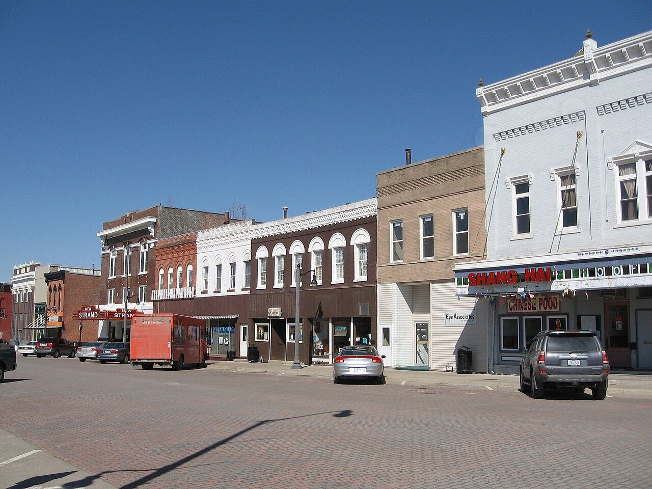
Three places: the George H. and Loretta Ward House (listed 1997), the West Liberty Commercial Historic District (2002) and the West Liberty Fairgrounds Historic District (2015).
How old are the homes in West Liberty?
21% of West Liberty’s homes were built before 1940 (Census estimate, ±8.9 points), against a typical 22% for an Iowa town; the median home was built in 1978.
Founding dates: Wikidata, Wikipedia, the U.S. post office records of Blevins & Helbock (CC0) and the Census. Homes by year built: Census ACS 2020–24. National Register of Historic Places: National Park Service (list of May 22, 2026). Old photos, postcards and papers: Wikimedia Commons, the Library of Congress and other public archives, credited on each item’s page. Maps: U.S. Geological Survey historical topographic maps (via Esri) and Sanborn fire-insurance maps (Library of Congress). History text and census tables: Wikipedia (CC BY-SA 4.0). Places that used to be: USGS Geographic Names Information System (2021).
From Wikimedia Commons (9), Wikidata (1), the National Register of Historic Places (3), Wikipedia, Wikidata and Wikipedia for famous people, U.S. Geological Survey historical maps, U.S. Census counts (via Wikipedia), the US Post Offices dataset (Blevins & Helbock), the USGS Geographic Names Information System, Sanborn fire insurance maps (Library of Congress) and old county and town histories (Internet Archive). Archive images are copied here with their credits and licenses, shown on each photo’s page. Refreshed monthly.






 2019
 2016
 2016
 2016
 2014
 2014
 2008
 2008
 2006

