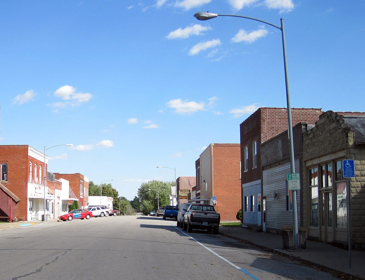
Photo: Bill Whittaker Uploaded by Billwhittaker at en.wikipedia · CC BY-SA 3.0
Quick answers
How Wayland began
When was Wayland founded?
1880
The Wayland post office opened in 1880, the earliest record of the town by name. Two smaller post offices, Crooked Creek (1843) and Marshall (1851), opened inside today’s city and later closed.
2020 census: 964146 years
Founding year: the first Wayland post office (Blevins & Helbock, CC0).The full story ↓
What stands out about Wayland’s past
Read from the archive, the National Register and the record. The page puts what stands out first.
Wayland was originally known as Crooked Creek. Crooked Creek became a voting precinct on October 5, 1840. The first burial is given to John Bullock, in 1838. He came as a surveyor to this region in 1837. The need to establish a post office followed. Rufus M. Pickell, one of the local leaders, was appointed on February 3, 1843, postmaster for the land east of the Skunk River and south of Crooked Creek. Pickell was also a blacksmith by trade. Establishing a church followed, so the little log cabin Methodist Church was built in 1844. From 1851 to 1880, the town was known as Marshall. Christian Roth Sr. erected a brewery on his homestead in 1856, which was completed at a cost of over $4,000. Until its closing by laws passed in 1884, it had done a prosperous business and had a capacity of 10 barrels a day. Confusion over the name Marshall, Henry County and Marshalltown, Iowa, especially wit…
The Wayland post office opened in 1880, the earliest record of the town by name (U.S. post office records).
What is on the National Register in Wayland?
Two places: the Christian K. and Margaret (Rich) Schantz House and Carpentry Shop (listed 2021) and the West Main Street Residential Historic District (2023).
Founding dates: Wikidata, Wikipedia, the U.S. post office records of Blevins & Helbock (CC0) and the Census. Homes by year built: Census ACS 2020–24. National Register of Historic Places: National Park Service (list of May 22, 2026). Old photos, postcards and papers: Wikimedia Commons, the Library of Congress and other public archives, credited on each item’s page. Maps: U.S. Geological Survey historical topographic maps (via Esri) and Sanborn fire-insurance maps (Library of Congress). History text and census tables: Wikipedia (CC BY-SA 4.0). Places that used to be: USGS Geographic Names Information System (2021). How TownRatings grades history →
From Wikimedia Commons (4), the National Register of Historic Places (2), Wikipedia, Wikidata and Wikipedia for famous people, the US Post Offices dataset (Blevins & Helbock) and the USGS Geographic Names Information System. Archive images are copied here with their credits and licenses, shown on each photo’s page. Refreshed monthly.

 2016
 2013
 2010
 2004