Truro was laid out and platted in 1881. It was first settled as Ohio Township in the early 1850s, by settlers who came primarily from Ohio. In 1881 the town was named after the city of Truro in Cornwall, United Kingdom, by suggestion of the local train conductor, whose hometown was Truro on Cape Cod in Massachusetts.
Passages that mention Truro, cut from the printed page as they were published.
History of Madison County, Iowa, and its people1915Read the page →
Read the text
TRURO Truro is a thriving little village of about 325 inhabitants, situated on the summit of the divide between Clanton Creek and South River, overlooking a most beautiful, fertile and well improved farming district. It stands on section 15 and near the center of Ohio Township, on the line of the Des Moines & Kansas City (Chicago Great Western) Railroad, and was laid off and platted August 3, 1881, for the owner, James Hull, by R. A. Patterson, surveyor. In 1902 the town was incorporated and the first mayor was W. W. Atkinson.
Text read by machine from the scan; it may contain errors.
History of Madison County, Iowa, and its people1915 · page 359Read the page →
Read the text
The Christian Church was organized in the winter of 1856, by A. D. Kellison, at the home of Ephraim Delong, about two miles south of the present Town of Truro. For some time the meetings were held at private houses. Later, after schoolhouses were built, the meetings were held in the Banner schoolhouse, two miles northeast of the center of Ohjo Township. Later, in the early '70s, the meet- •ings were moved to a schoolhouse one mile south of the center of the township, known as the Hartman schoolhouse. In 1875-6 the society erected a church building 30x40 feet, three-fourths of a mile south of the center of the township and
Text read by machine from the scan; it may contain errors.
Scans and text from the Internet Archive. Books published in 1930 or earlier, which are in the public domain.
Timeline
Truro, 1850 to 1951
Woven from the archive, old maps, post office records, the National Register and the people born here.
Founding dates: Wikidata, Wikipedia, the U.S. post office records of Blevins & Helbock (CC0) and the Census. Homes by year built: Census ACS 2020–24. National Register of Historic Places: National Park Service (list of May 22, 2026). Old photos, postcards and papers: Wikimedia Commons, the Library of Congress and other public archives, credited on each item’s page. Maps: U.S. Geological Survey historical topographic maps (via Esri) and Sanborn fire-insurance maps (Library of Congress). History text and census tables: Wikipedia (CC BY-SA 4.0). Places that used to be: USGS Geographic Names Information System (2021). How TownRatings grades history →
From Wikimedia Commons (6), Wikipedia, U.S. Geological Survey historical maps, U.S. Census counts (via Wikipedia), the US Post Offices dataset (Blevins & Helbock), the USGS Geographic Names Information System and old county and town histories (Internet Archive). Archive images are copied here with their credits and licenses, shown on each photo’s page. Refreshed monthly.


 2009
 2009
 2009
 2009
 2009
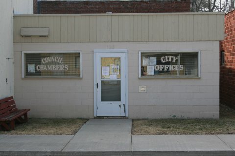 2009


