Wikipedia doesn’t have a history of Soldier yet. The photos, dates and memories neighbors add here are how it gets written.
Soldier is a city in Monona County, Iowa, United States, along the Soldier River. The population was 184 at the time of the 2020 census. Soldier was so named from a nearby unmarked grave of a soldier.
Between the 2010 and 2020 censuses its population grew from 174 to 184 (+6%).
Intro from Wikipedia. Population: U.S. Census Bureau.
People over time
Soldier, census by census
Peaked at 323 in 1950; 184 people lived here in 2020.
12 censuses, 1910–2020.
U.S. Census Bureau decennial counts, from the census table on Soldier’s Wikipedia page.
From the old history books
What they wrote about Soldier in 1890
Passages that mention Soldier, cut from the printed page as they were published.
History of Monona County, Iowa1890 · page 277Read the page →
Read the text
warm and productive bluff deposit, or loess, of the geologist, is the equal of any to be found in Western Iowa and is wonderfully fertile. Crossing tlie Northwest center of the town runs the Soldier River, and this with its tributaries and affluents affords ample drainage and an abundant supply of run ning water. There is no railroad or station within its limits, the only village being tiie little hamlet
Text read by machine from the scan; it may contain errors.
History of Monona County, Iowa1890 · page 280Read the page →
Read the text
The district township of Soldier, then embracing two Congressional towns, was organized at a meeting held on the first Saturday in March, 1867, of wliich T. F. Spellman was Chairman and M. .T.
Text read by machine from the scan; it may contain errors.
Scans and text from the Internet Archive. Books published in 1930 or earlier, which are in the public domain.
Founding dates: Wikidata, Wikipedia, the U.S. post office records of Blevins & Helbock (CC0) and the Census. Homes by year built: Census ACS 2020–24. National Register of Historic Places: National Park Service (list of May 22, 2026). Old photos, postcards and papers: Wikimedia Commons, the Library of Congress and other public archives, credited on each item’s page. Maps: U.S. Geological Survey historical topographic maps (via Esri) and Sanborn fire-insurance maps (Library of Congress). History text and census tables: Wikipedia (CC BY-SA 4.0). Places that used to be: USGS Geographic Names Information System (2021). How TownRatings grades history →
From Wikimedia Commons (2), U.S. Geological Survey historical maps, U.S. Census counts (via Wikipedia), the USGS Geographic Names Information System and old county and town histories (Internet Archive). Archive images are copied here with their credits and licenses, shown on each photo’s page. Refreshed monthly.
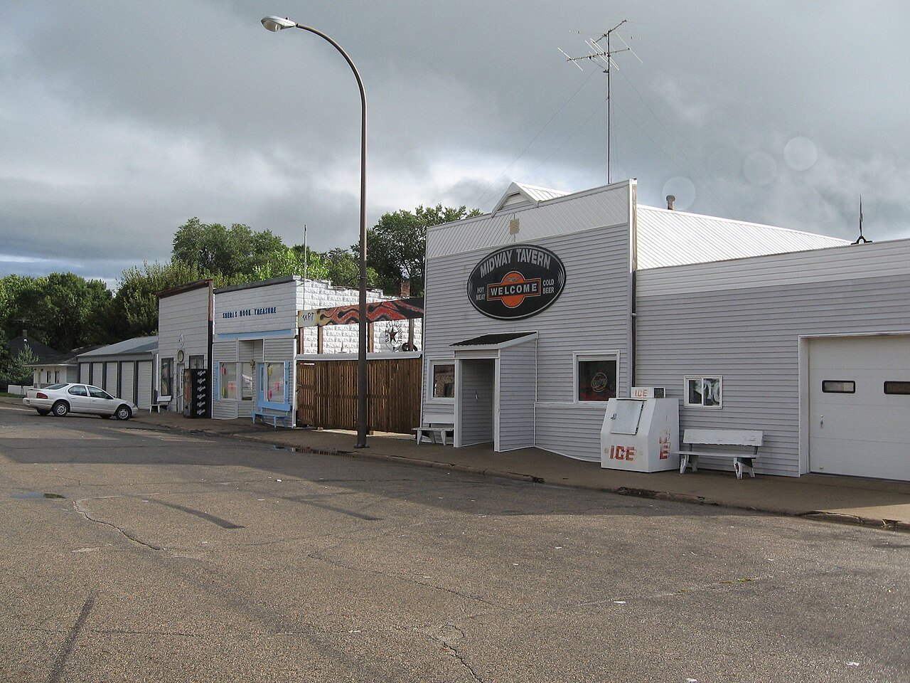


 2008
 2004

