Quasqueton’s post office opened in 1844, and 22% of its homes were built before 1940
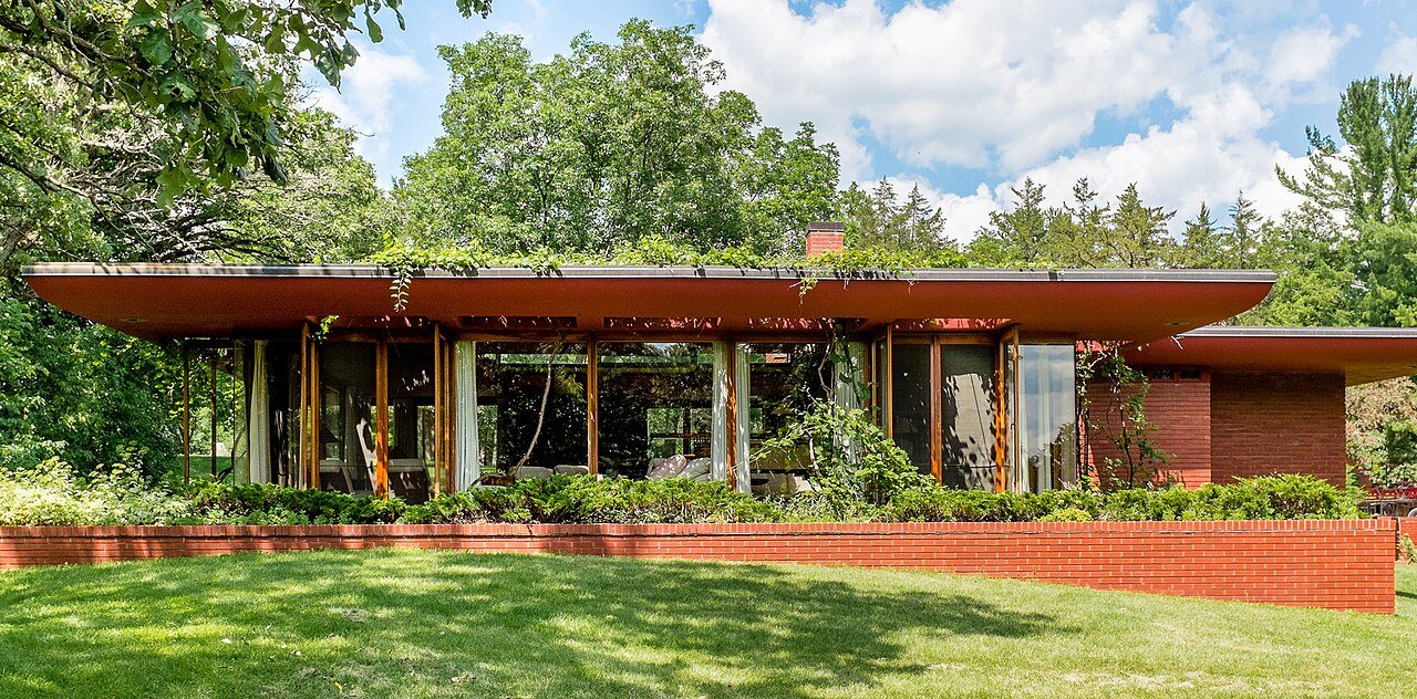
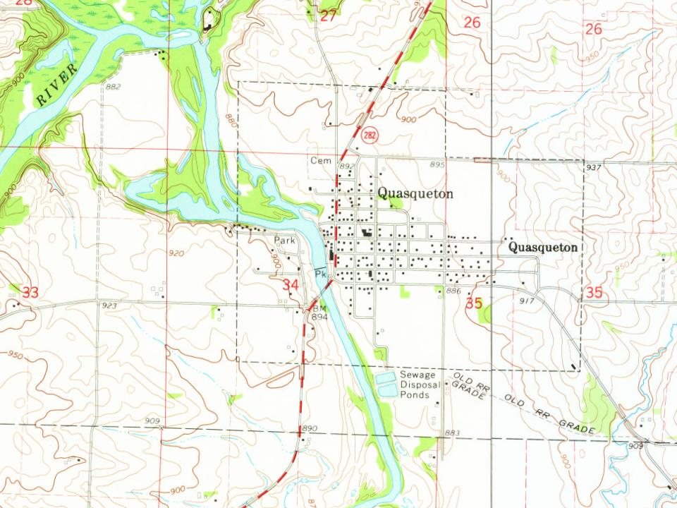
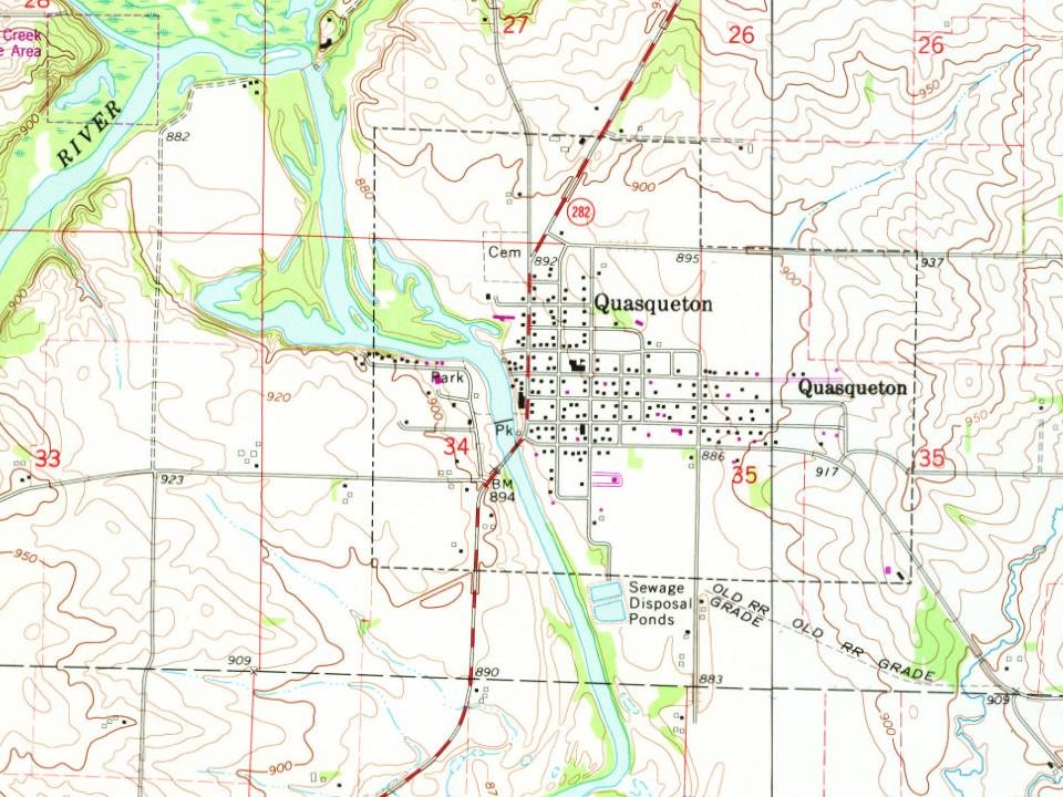
Its Register listings are the Lowell E. Walter House and the State Savings Bank. Its Register listings are the Lowell E. Walter House and the State Savings Bank. Below: maps from 1903 on and the census since 1880.
Quasqueton is the oldest community in Buchanan County. It first appears in the 1840 Census, although later sources state it was founded in 1842. Quasqueton's name is of Meskwaki (Fox) origins; it was originally called "Quasquetuck" or "Quaquetuck".
Quasqueton's population was 43 in 1840. At that time, it was the county seat of Buchanan County. The first grist mill in Quasqueton was built in 1842.
Passages that mention Quasqueton, cut from the printed page as they were published.
History of Buchanan County, Iowa, with illustrations and biographical sketches1881 · page 31Read the page →
Read the text
Rowley Station on the Burlington road, in an eastlynortherly direction, we come to the oldest and next to the largest town in the county — the goodly village of Quasqueton, picturesquely located on the Wapsie in the township of Liberty, just within the southern border of the finest body of timber in the county. Thus, in our enumeration and location of the villages of the county, the first is last.
Text read by machine from the scan; it may contain errors.
History of Buchanan County, Iowa, with illustrations and biographical sketches1881 · page 312Read the page →
Read the text
In the early days, during some of the seasons the settlers subsisted on hulled corn, and especially when the winters were severe. The nearest mill was twenty-five miles away, at the village of Quasqueton. The first store was kept by Sufficool & Marshall, in 1856, at what is now called Littleton. Sufficool subsequently sold to John Cameron. The early settlers had for food venison, sometimes beef, chickens, wild and domesticated, and
Text read by machine from the scan; it may contain errors.
Scans and text from the Internet Archive. Books published in 1930 or earlier, which are in the public domain.
Founding dates: Wikidata, Wikipedia, the U.S. post office records of Blevins & Helbock (CC0) and the Census. Homes by year built: Census ACS 2020–24. National Register of Historic Places: National Park Service (list of May 22, 2026). Old photos, postcards and papers: Wikimedia Commons, the Library of Congress and other public archives, credited on each item’s page. Maps: U.S. Geological Survey historical topographic maps (via Esri) and Sanborn fire-insurance maps (Library of Congress). History text and census tables: Wikipedia (CC BY-SA 4.0). Places that used to be: USGS Geographic Names Information System (2021). How TownRatings grades history →
From Wikimedia Commons (4), the Library of Congress (2), Wikidata (1), the National Register of Historic Places (2), Wikipedia, Wikidata and Wikipedia for famous people, U.S. Geological Survey historical maps, U.S. Census counts (via Wikipedia), the US Post Offices dataset (Blevins & Helbock), the USGS Geographic Names Information System and old county and town histories (Internet Archive). Archive images are copied here with their credits and licenses, shown on each photo’s page. Refreshed monthly.






 2018
 2016
 2016
 2016
 2016
 2004
