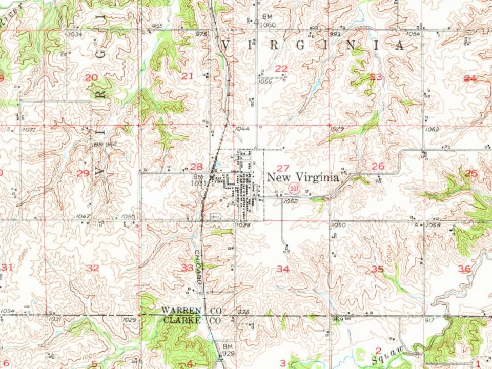
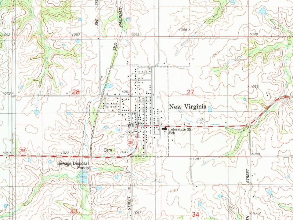
Wikipedia doesn’t have a history of New Virginia yet. The photos, dates and memories neighbors add here are how it gets written.
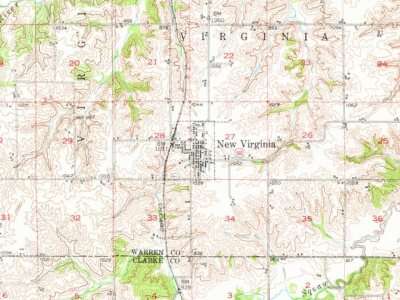
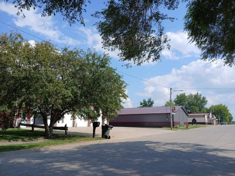
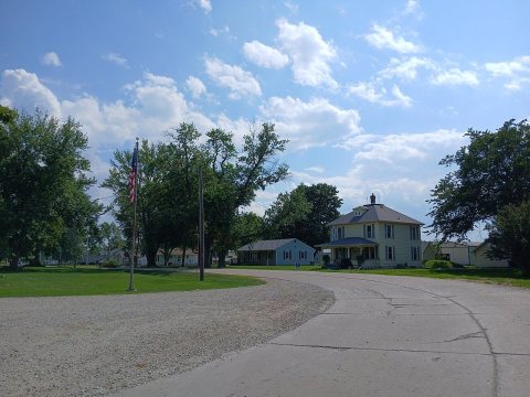
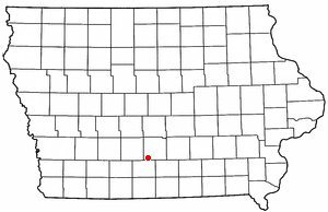
New Virginia is a city in Warren County, Iowa, United States. The population was 498 at the time of the 2020 census. It is part of the Des Moines–West Des Moines Metropolitan Statistical Area.
Its first post office opened in 1858. Its population held steady between the last two censuses: 489 in 2010, 498 in 2020.
Intro from Wikipedia. Population: U.S. Census Bureau.
From the old history books
What they wrote about New Virginia, 1879–1908
Passages that mention New Virginia, cut from the printed page as they were published.
The history of Warren County, Iowa1879 · page 864Read the page →
Read the text
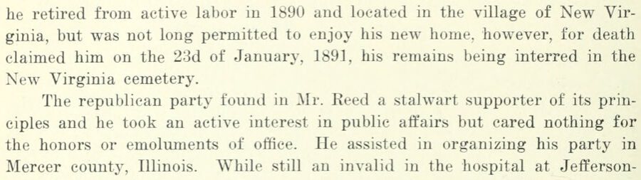
he retired from active labor in 1890 and located in the village of New Virginia, but was not long permitted to enjoy his new home, however, for death claimed him on the 23d of January, 1891, his remains being interred in the New Virginia cemetery. The republican party found in Mr. Reed a stalwart supporter of its principles and he took an active interest in public affairs but cared nothing for the honors or emoluments of office. He assisted in organizing his party in Mercer county, Illinois. While still an invalid in the hospital at Jeflferson-
Text read by machine from the scan; it may contain errors.
History of Warren County, Iowa1908 · page 864Read the page →
Read the text
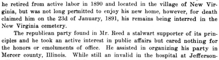
he retired from active labor in 1890 and located in the village of New Virginia, but was not long permitted to enjoy his new home, however, for death claimed him on the 23d of January, 1891, his remains being interred in the New Virginia cemetery. The republican party found in Mr. Reed a stalwart supporter of its principles and he took an active interest in public affairs but cared nothing for the honors or emoluments of office. He assisted in organizing his party in Mercer county, Illinois. While still an invalid in the hospital at Jefferson-
Text read by machine from the scan; it may contain errors.
History of Warren County, Iowa1908 · page 486Read the page →
Read the text
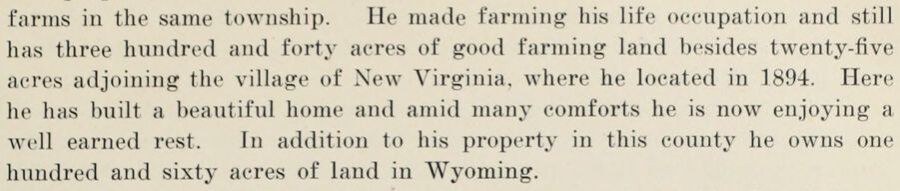
this property and subsequently became the owner of other lands, owning farms in the same township. He made farming his life occupation and still has three hundred and forty acres of good farming land besides twenty-five acres adjoining the village of New Virginia, where he located in 1894. Here he has built a beautiful home and amid many comforts he is now enjoying a well earned rest. In addition to his property in this county he owns one hundred and sixty acres of land in Wyoming.
Text read by machine from the scan; it may contain errors.
The history of Warren County, Iowa1879 · page 487Read the page →
Read the text
farms in the same township. He made fanning' liis life occnpation and still has three hundred and forty acres of f?ood fanning land besides twenty-five acres adjoining the village of New Virginia, where he located in 1894. Here he has built a beautiful home and amid many comforts he is now enjoying a well earned rest. In addition to his ])roperty in this county he owns one hundred and sixty acres of land in Wyoming.
Text read by machine from the scan; it may contain errors.
Scans and text from the Internet Archive. Books published in 1930 or earlier, which are in the public domain.
Timeline
New Virginia, 1858 to 2000
Woven from the archive, old maps, post office records, the National Register and the people born here.
Founding dates: Wikidata, Wikipedia, the U.S. post office records of Blevins & Helbock (CC0) and the Census. Homes by year built: Census ACS 2020–24. National Register of Historic Places: National Park Service (list of May 22, 2026). Old photos, postcards and papers: Wikimedia Commons, the Library of Congress and other public archives, credited on each item’s page. Maps: U.S. Geological Survey historical topographic maps (via Esri) and Sanborn fire-insurance maps (Library of Congress). History text and census tables: Wikipedia (CC BY-SA 4.0). Places that used to be: USGS Geographic Names Information System (2021). How TownRatings grades history →
From Wikimedia Commons (6), Wikidata and Wikipedia for famous people, U.S. Geological Survey historical maps, U.S. Census counts (via Wikipedia), the US Post Offices dataset (Blevins & Helbock), the USGS Geographic Names Information System and old county and town histories (Internet Archive). Archive images are copied here with their credits and licenses, shown on each photo’s page. Refreshed monthly.

 2024
 2024
 2024
 2024
 2024
 2004