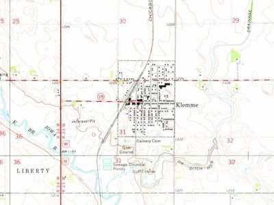
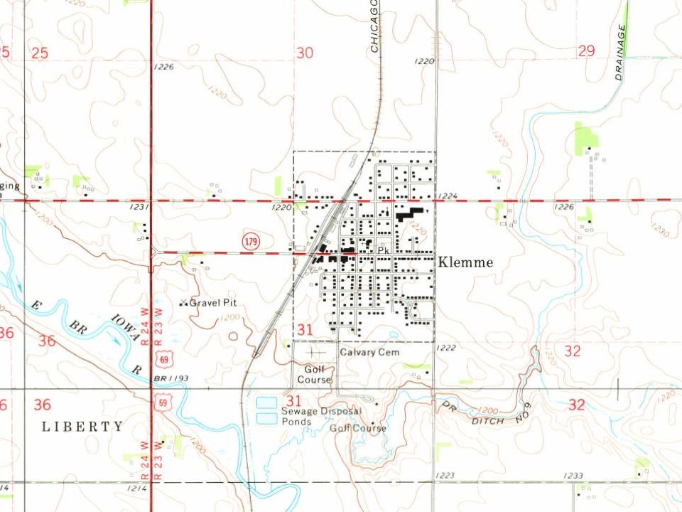
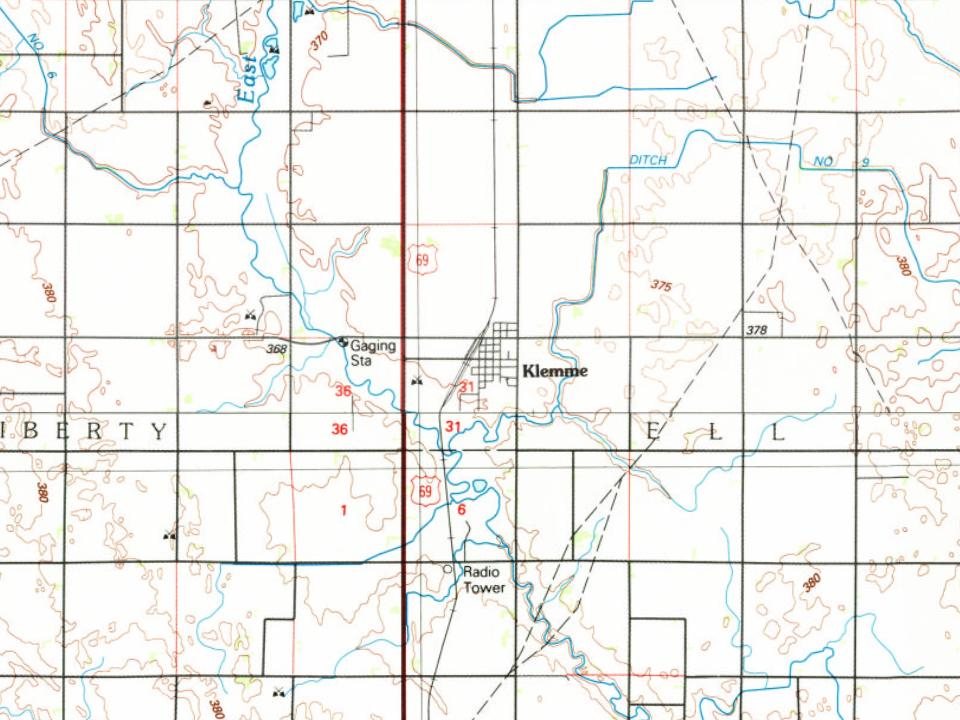
The city is named for Harmon J. Klemme, the original land owner. Klemme was established in 1889, and incorporated in 1899.
Harmon Klemme's Klemme home is preserved as the Klemme Homestead Museum. His home in Belmond, Iowa, where he lived for many years, is the Klemme House Bed and Breakfast.
Passages that mention Klemme, cut from the printed page as they were published.
History of Winnebago County and Hancock County, Iowa, a record of settlement, organization, progress and achievement ..1917 · page 286Read the page →
Read the text
Settlement of the new town of Klemme was at first slow, as is the case with many of the smaller towns. Schafer and Dow started a store first in 1889. However, by the year 1898 the population had reached a sufficient number to warrant the incorporation of the community. Accordingly a petition praying for the incorporation of the town was circulated among the citizens and signed by the following: S. B. Day, F. M. Hanson, Frank Gruetzmacher, Henry Terhufen, John L. Harr, George S. Gates, W. W. Lawrence, George Kluckhohn,
Text read by machine from the scan; it may contain errors.
History of Winnebago County and Hancock County, Iowa, a record of settlement, organization, progress and achievement ..1917 · page 225Read the page →
Read the text
The town of Klemme had 206 males and 198 females. Ellington Township had 457 males and 390 females. Erin Township had 274 males and 267 females.
Text read by machine from the scan; it may contain errors.
Scans and text from the Internet Archive. Books published in 1930 or earlier, which are in the public domain.
Timeline
Klemme, 1889 to 1980
Woven from the archive, old maps, post office records, the National Register and the people born here.
Founding dates: Wikidata, Wikipedia, the U.S. post office records of Blevins & Helbock (CC0) and the Census. Homes by year built: Census ACS 2020–24. National Register of Historic Places: National Park Service (list of May 22, 2026). Old photos, postcards and papers: Wikimedia Commons, the Library of Congress and other public archives, credited on each item’s page. Maps: U.S. Geological Survey historical topographic maps (via Esri) and Sanborn fire-insurance maps (Library of Congress). History text and census tables: Wikipedia (CC BY-SA 4.0). Places that used to be: USGS Geographic Names Information System (2021). How TownRatings grades history →
From Wikipedia, Wikidata and Wikipedia for famous people, U.S. Geological Survey historical maps, U.S. Census counts (via Wikipedia), the US Post Offices dataset (Blevins & Helbock), the USGS Geographic Names Information System and old county and town histories (Internet Archive). Archive images are copied here with their credits and licenses, shown on each photo’s page. Refreshed monthly.