In July 1858 the first railroad was built west from Clinton to Clarence, Iowa. It was called the Chicago, Iowa and Nebraska Railroad, later changed to Chicago Northwestern Railroad Co.. In the same year, Joseph D. Fegan was deputized to go to the cross roads of the Stage Coach Lines and the Indian Trails at Syracuse, which had a small stove and a saloon, to establish a post office in 1858. No one could suggest a name and Mr. Fegan asked "Is there no creek or anything?" "Yes, Calamus Creek." "Then let it be Calamus." Due to the large hazardous swamps, the Post Office and railway station were moved to a more favorable location in what is now the town of Calamus.
Passages that mention Calamus, cut from the printed page as they were published.
Clinton county history, written for the children of Clinton County1930Read the page →
Read the text
Calamus was platted in 1860 by R. S. Dickinson, who owned the land on the north side of the railroad, and Milo Smith, who later built the Revere Hotel in Clinton, who owned land on the south side of the railroad. Mr. Dickinson and his son, A. L., built the first store of any consequence and opened a large and complete stock of merchandise. Later they went into grain-buying. Calamus was incorporated in 1876.
Text read by machine from the scan; it may contain errors.
Clinton county history, written for the children of Clinton County1930Read the page →
Read the text
Farmers’ Telephone Line In the Farmers’ Telephone Line that was started at Calamus, is one of the most helpful accessories to rural activities. It connects Calamus and Olive Township with Grand Mound, Welton, Elwood, Lost Nation, Toronto, Wheatland, Big Rock and Dixon and has its own modern exchange at Wheatland as well as one at the main central office in Calamus where their old school building has been rebuilt into a very satisfactory exchange.
Text read by machine from the scan; it may contain errors.
The history of Clinton County, Iowa, containing a history of the county, its cities, towns &c., biographical sketches of citizens1879 · page 633Read the page →
Read the text
Calamus, a post office and small village on the C. & N. W. Railway, was platted in 1860, by R. S. Dickinson, who owned the land on the north side of the railroad, and Milo Smith, who owned that on the south. It was replatted in 1865. James Keith opened the first store here, a small stock of groceries and notions. R. S. Dickinson and his son A. L., in 1861, built the first store of consequence, and opened a large and complete stock of general merchandise, and engaged in grain-buying. Two or three years later, R. E. Houck opened a small store, and has continued in trade there since, building up a successful
Text read by machine from the scan; it may contain errors.
Gazetteer and directory of Clinton county, Iowa, containing a history of the county, and of the cities of Clinton and Lyons ...1876Read the page →
Read the text
Calamus was first settled by R. S. Dickinson, in 18G0, but the town was not laid out until 1804. The town first began its career outhe north side of the railroad, out in a few years the " business (Renter " was transferred to the more favorable location on the south side.
Text read by machine from the scan; it may contain errors.
Scans and text from the Internet Archive. Books published in 1930 or earlier, which are in the public domain.
Timeline
Calamus, 1858 to 1892
Woven from the archive, old maps, post office records, the National Register and the people born here.
Founding dates: Wikidata, Wikipedia, the U.S. post office records of Blevins & Helbock (CC0) and the Census. Homes by year built: Census ACS 2020–24. National Register of Historic Places: National Park Service (list of May 22, 2026). Old photos, postcards and papers: Wikimedia Commons, the Library of Congress and other public archives, credited on each item’s page. Maps: U.S. Geological Survey historical topographic maps (via Esri) and Sanborn fire-insurance maps (Library of Congress). History text and census tables: Wikipedia (CC BY-SA 4.0). Places that used to be: USGS Geographic Names Information System (2021). How TownRatings grades history →
From Wikimedia Commons (12), Wikipedia, U.S. Geological Survey historical maps, U.S. Census counts (via Wikipedia), the US Post Offices dataset (Blevins & Helbock), the USGS Geographic Names Information System and old county and town histories (Internet Archive). Archive images are copied here with their credits and licenses, shown on each photo’s page. Refreshed monthly.


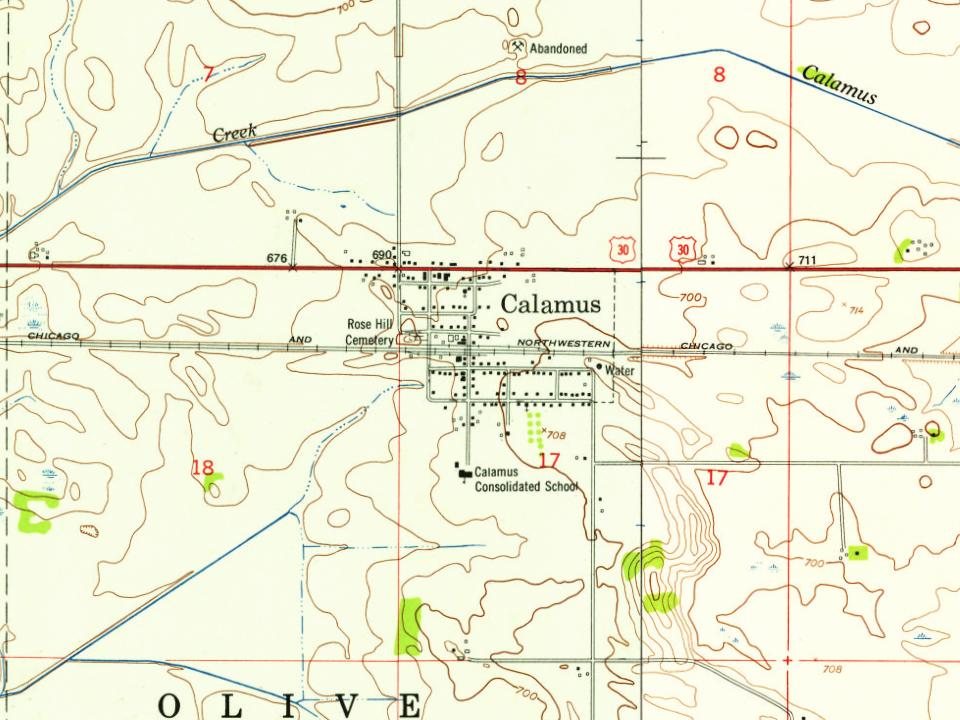

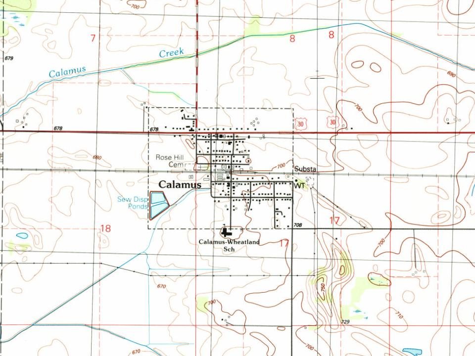


 2021
 2016
 2014
 2014
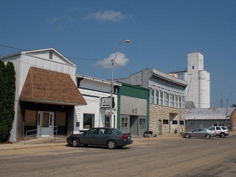 2014
 2013
 2009
 2009
 2009
 2009
 2009
 2004


