
Mauna Loke (Rose Mont) in ca. 1880, c. 1880
Waimanalo’s story
Waimanalo in pictures
The archive holds 18 old photos and papers going back to 1880 and 5 maps from 1952 on.
Explore the history →Each edition grades its towns against each other only.

A town of 6,054 in Hawaii.
Waimanalo’s best subject grades are an A for walkability and an A− for the outdoors; its weakest is a C− for hazard risk. Waimanalo’s January low is 65°F, where Hawaii’s towns sit at 64°F and U.S. towns at 22°F. On hazard risk, just 9 of Hawaii’s 125 towns do better. 62% of the land in Waimanalo is conserved, where Hawaii’s towns sit at 12% and U.S. towns at 4.3%. Waimanalo has no overall grade: it has no figures for safety and schools, and an overall grade needs at least three of the four big subjects (cost of living, safety, schools and health).
Where Waimanalo beats most towns.
5,451 counted in 2010 and 6,057 in 2020.
U.S. Census 2010 & 2020 counts
Each subject compared with towns across the country (schools within Hawaii), ordered by how far Waimanalo is from typical.
Waimanalo has no overall grade: it has no figures for safety and schools, and an overall grade needs at least three of the four big subjects (cost of living, safety, schools and health).
How TownRatings grades towns →
The archive holds 18 old photos and papers going back to 1880 and 5 maps from 1952 on.
Explore the history →Museums, parks, gardens and other places to visit around Waimanalo. Close and well known come first.
 Big draw14 mi MuseumUSS Missouri
 8 mi MountainDiamond Head
 14 mi MuseumUSS Arizona Memorial
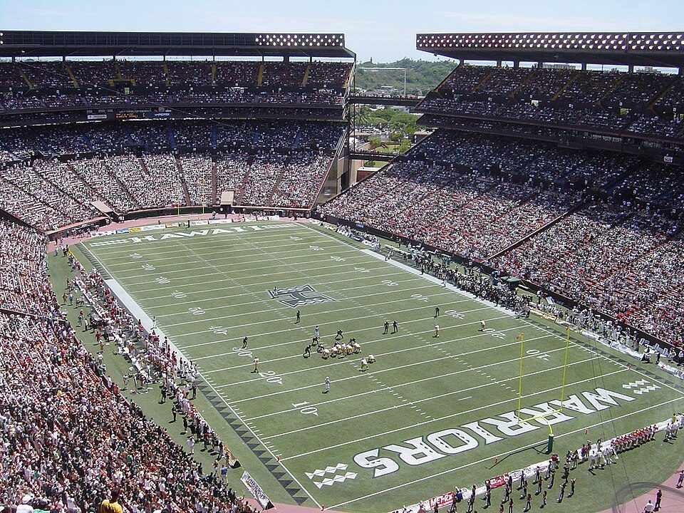 13 mi Stadium & arenaAloha Stadium
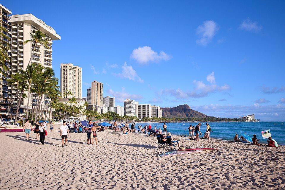 8 mi BeachWaikīkī
 8 mi LandmarkNational Memorial Cemetery of the Pacific
USS Missouri: Camera Operator: EM2 KENNETH D. MEHL (Released to Public), Public domain · Diamond Head: Unknown, CC BY-SA 3.0 · USS Arizona Memorial: DoD photo by: PH3(AW/SW) JAYME PASTORIC, USN, Public domain · Aloha Stadium: This photo was taken and originally uploaded by Bobak to English Wikipedia. Uplo, CC BY 3.0 · Waikīkī: Frank Schulenburg, CC BY-SA 4.0 · National Memorial Cemetery of the Pacific: Cleared as filed at English Wikipedia, CC BY-SA 3.0
Waimanalo is unincorporated, so Honolulu County and regional agencies provide most services.
EPA SDWIS (Oct 9, 2026) · HIFLD + EIA-861 2025 · Census 2020 ZCTAs · NCES 2024–25 · registration: vote.gov, updated Nov 18, 2024.
Ordered by what stands out in Waimanalo.
6.2 miles of trail. Waimanalo’s concentration of trails is 1.4 miles per square mile.
Trails & parks © OpenStreetMap contributors · Conserved land: USGS PAD-US
The Hawaii Department of Education school district runs its public schools. Its one school is below. Enrollment at Waimanalo’s public school: 344 students.
| School | Level | Students | Letter |
|---|---|---|---|
| Waimanalo Elementary & Intermediate SchoolLargest public elementary schoolGrades PK–8 | Grades PK–8 | 344 | D |
NCES · EDFacts
Among 93 Hawaii towns, just 8 have a lower share of working residents who work in town than Waimanalo. The typical household income in the town is $117,000. The top destinations are Urban Honolulu (10%), Hilo (8%) and Kapolei (6%). 15% of residents live below the poverty line locally.
| Waimanalo | Hawaii towns | U.S. towns | |
|---|---|---|---|
| Median household income | $117,000 | $100,000 | $80,000 |
| Below the poverty line | 15% | 9.5% | 9.6% |
| Working residents who work in town | 0.3% | 3.7% | 8% |
| Average trip to work | 29 minutes | 28 minutes | 25 minutes |
Census LEHD 2023 · ACS
Expected losses in Waimanalo break down as 74% from inland flooding and 13% from earthquakes. For Waimanalo, the risk rating from FEMA is 77 of 100. Federal aid has come to Waimanalo households in 4 declared disasters; the latest was in 2026.
FEMA disaster declarations and aid · FEMA National Risk Index · OpenFEMA
The going rate for rent for Waimanalo comes to $1,764 a month. Typical home values rose 3.7% in the year to September 2026. Among households here, 74% own their home.
| Waimanalo | Hawaii towns | U.S. towns | |
|---|---|---|---|
| Median rent | $1,764 a month | $2,017 a month | $1,185 a month |
| Households that own their home | 74% | 71% | 73% |
Census ACS, 2020–24 · Zillow Home Value Index · Redfin Data Center
July afternoons reach 84°, January nights drop to 65° and snow is almost unheard of.
NOAA U.S. Climate Normals, 1991–2020
Two figures for adults in Waimanalo: 24% worry about having enough food, 23% say their health is fair or poor. The town does better than the Hawaii average on 1 of 32 CDC measures and worse on 15. In Waimanalo, 52% of adults sleep under 7 hours. Only 9 of the 93 Hawaii towns we compare have a higher share of adults who have obesity than Waimanalo.
| Waimanalo | Hawaii towns | U.S. towns | |
|---|---|---|---|
| Sleep under 7 hours (CDC PLACES) | 52% | 45% | 36% |
| Food insecurity (CDC PLACES) | 24% | 18% | 14% |
| Fair or poor health (CDC PLACES) | 23% | 18% | 19% |
| Frequent mental distress (CDC PLACES) | 18% | 16% | 17% |
| What stands out | Waimanalo | HI |
|---|---|---|
| Fewer adults who have had cancer | 6.1% | 6.7% |
| More adults facing housing insecurity | 16.3% | 10.9% |
CDC PLACES 2025 · modeled estimates for adults · CMS · HRSA
8 within 15 miles of the center of Waimanalo
About 7 of every 100 Waimanalo residents are enrolled in college, about the same as Hawaii.
Where Waimanalo’s working residents go each day. Line width shows the share.
Census LEHD 2023
8 notable people were born in Waimanalo.


Census-designated place in Hawaii, United States
Waimānalo (Hawaiian pronunciation: [vɐjmaːˈnɐlo] ) is a census-designated place (CDP) in the District of Koʻolaupoko, in the City & County of Honolulu, on the island of Oʻahu, Hawaii, United States. This small windward community is near the eastern end of the island. Waimānalo means "potable water"; it is so named for the many brackish ponds in the area that were used for irrigation. As of the 2020 census, the CDP had a population of 6,057. About 1000 meters east of Waimānalo is the neighborhood of Waimānalo Beach. Waimānalo has a small commercial center along Kalanianaʻole Highway, but is separated from the shoreline and Waimānalo Beach (the longest stretch of sandy shoreline on Oʻahu) by …
From Wikipedia, licensed CC BY-SA 4.0 · facts via Wikidata (CC0)
2 towns share a border with Waimanalo.
| Town | HI rank | Overall | Cost | Safety | Schools | Health |
|---|---|---|---|---|---|---|
| Waimanalo | — | — | C− | — | — | C+ |
| Waimanalo Beach | — | — | B+ | — | — | B− |
| Kailua | — | — | D | — | — | A |
Waimanalo, Waimanalo Beach and Kailua report no FBI crime data of their own. Waimanalo, Waimanalo Beach and Kailua aren’t graded (fewer than 1,000 residents, or not enough data). Compare Waimanalo with a neighbor →
Short answers, built from the data on this page.
Waimanalo has no overall grade: it has no figures for safety and schools, and an overall grade needs at least three of the four big subjects (cost of living, safety, schools and health).
Yes. That is 10.3 years of the area's median household income ($106,195 across the Urban Honolulu, HI metro area). Cost of living, which also weighs rents, property taxes and how many households pay 30% or more of their income for housing, grades C−.


