
Flower - panoramio (29), 2012
Leilani Estates’s story
Leilani Estates in pictures
The archive holds 6 old photos and papers going back to 2012.
Explore the history →Each edition grades its towns against each other only.
A town of 1,490.
Leilani Estates’ best subject grade is a B for cost of living; its weakest is a D− for hazard risk. 29% of residents live below the poverty line in Leilani Estates, above both the Hawaii town median (9.7%) and the median of U.S. towns (9.6%). On incomes, just 1 of Hawaii’s 124 towns do worse. Most errands need a car: it is less walkable than 77% of U.S. towns. On the outdoors, just 10 of Hawaii’s 125 towns do worse. The biggest park or preserve is Nanawale Forest Reserve, at 32 acres. Leilani Estates has fewer than 2,500 residents, so it gets subject grades but no overall grade.
1,560 counted in 2010 and 1,139 in 2020.
U.S. Census 2010 & 2020 counts
Each subject compared with towns across the country (schools within Hawaii), ordered by how far Leilani Estates is from typical.
How TownRatings grades towns →
The archive holds 6 old photos and papers going back to 2012.
Explore the history →Leilani Estates is unincorporated, so Hawaii County and regional agencies provide most services.
EPA SDWIS (Oct 9, 2026) · HIFLD + EIA-861 2025 · Census 2020 ZCTAs · NCES 2024–25 · registration: vote.gov, updated Nov 18, 2024.
Ordered by what stands out in Leilani Estates.
Leilani Estates’ FEMA hazard score stands at 100 of 100. 48% of the town’s expected losses from natural hazards come from inland flooding, followed by earthquakes at 39%. Households here have drawn federal disaster aid once, in 2018.
FEMA National Risk Index · OpenFEMA
Leilani Estates: 78% of adults had a checkup this year. Only one of the 94 Hawaii towns we compare has a lower share of adults who feel lonely than Leilani Estates. Still, 28% of adults say their health is fair or poor here, against 18% in Hawaii’s towns and 19% across U.S. towns.
| Leilani Estates | Hawaii towns | U.S. towns | |
|---|---|---|---|
| Frequent physical distress (CDC PLACES) | 19% | 13% | 14% |
| Smoke cigarettes (CDC PLACES) | 20% | 12% | 14% |
| Fair or poor health (CDC PLACES) | 28% | 18% | 19% |
| Diabetes (CDC PLACES) | 16% | 12% | 12% |
| What stands out | Leilani Estates | HI |
|---|---|---|
| Fewer adults sleeping under 7 hours | 37.6% | 45.7% |
| Fewer adults lacking emotional support | 25% | 30.1% |
| More older adults who have lost all their teeth | 20.4% | 8.5% |
CDC PLACES 2025 · modeled estimates for adults · CMS · HRSA
In Leilani Estates, the midsummer high is 77°F.
NOAA U.S. Climate Normals, 1991–2020
The median commute is under 74 miles. The top destinations are Hilo (25%), Urban Honolulu (21%) and Kaiminani (11%). For workers in Leilani Estates, the share who work from home is 12%.
| Leilani Estates | Hawaii towns | U.S. towns | |
|---|---|---|---|
| Work from home | 12% | 8.1% | 11% |
| Average trip to work | 28 minutes | 28 minutes | 25 minutes |
Census LEHD 2023 · ACS
Trails run 1.0 miles in 2 parks and preserves. Leilani Estates’ trail density comes in at 0.3 miles per square mile.
| Leilani Estates | Hawaii towns | U.S. towns | |
|---|---|---|---|
| Conserved land | 2.8% | 12% | 4.3% |
| Miles of trail per square mile | 0.3 miles per square mile | 0.6 | 0.4 |
| Biggest places to walk | Trails | Acres |
|---|---|---|
| 1. Nanawale Forest Reserve | — | 32 |
| 2. Malama-Ki Forest Reserve | — | 7 |
Trails & parks © OpenStreetMap contributors · Conserved land: USGS PAD-US
For Leilani Estates, the median rent is $1,392 a month. In Leilani Estates, 78% of households live in a home they own.
| Leilani Estates | Hawaii towns | U.S. towns | |
|---|---|---|---|
| Median rent | $1,392 a month | $2,015 a month | $1,185 a month |
| Households that own their home | 78% | 71% | 73% |
Census ACS, 2020–24 · Zillow Home Value Index · Redfin Data Center
Museums, parks, gardens and other places to visit around Leilani Estates. Close and well known come first.
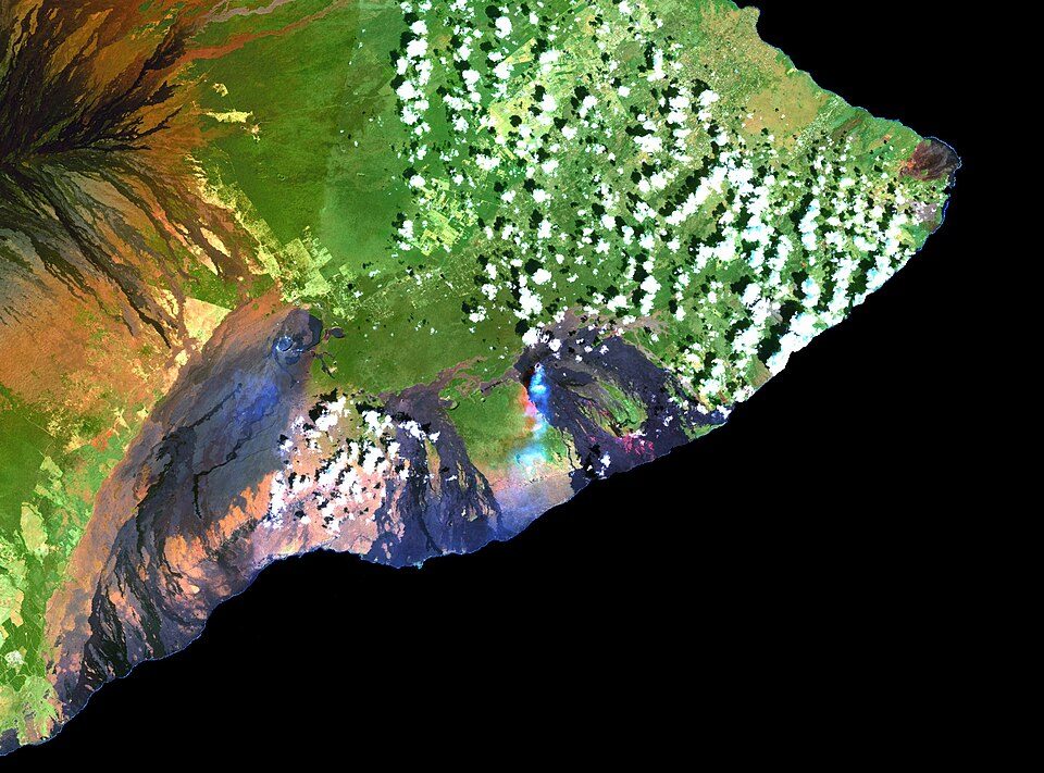 Big draw24 mi MountainKīlauea
 11 mi National ParkHawai'i Volcanoes National Park1.9M visitors a year
 8 mi CaveKazumura Cave
 22 mi WaterfallRainbow Falls
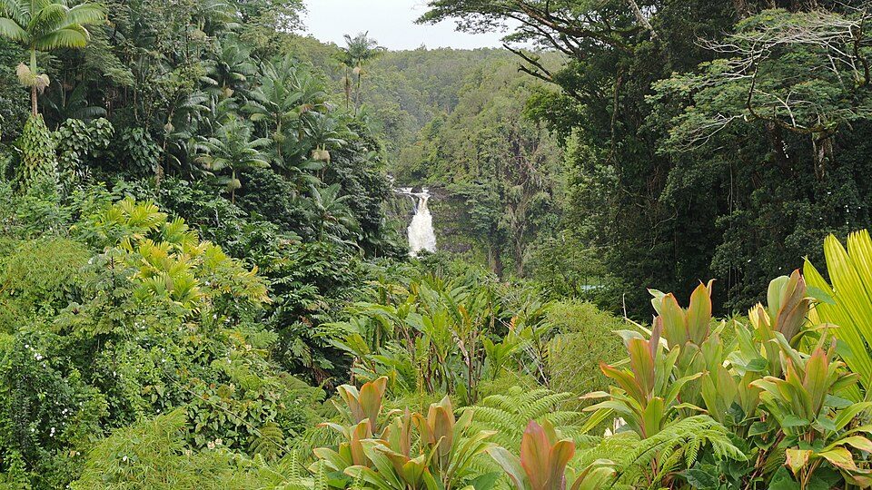 31 mi State parkAkaka Falls State Park
 21 mi GardenLiliuokalani Park and Gardens
Kīlauea: Hawaii Land Cover Analysis project, NOAA Coastal Services Center, Public domain · Hawai'i Volcanoes National Park: Jos-uit-boston at Dutch Wikipedia, CC BY-SA 3.0 · Kazumura Cave: Dave Bunnell / Under Earth Images, CC BY-SA 4.0 · Rainbow Falls: Kyle Hawton, CC BY-SA 3.0 · Akaka Falls State Park: Robert Linsdell from St. Andrews, Canada, CC BY 2.0 · Liliuokalani Park and Gardens: AlaskaDave, CC BY-SA 3.0
None within 15 miles of Leilani Estates; the nearest are
About 3 of every 100 Leilani Estates residents are enrolled in college, against 6 across Hawaii.
In a town this size, neighbors are the best guide. Ask them anything.
Census-designated place in the United States
Leilani Estates is a census-designated place (CDP) in Hawaiʻi County, Hawaii, United States located in the District of Puna. The subdivision was formed in 1964. The population was 1,139 at the 2020 census, down from 1,560 at the 2010 census, and up from 1,046 at the 2000 census. The 2018 lower Puna eruption of Kīlauea Volcano, which occurred within and around the subdivision, claimed many homes and displaced an unknown number of Leilani Estates residents. Accessing the entire resulting solid lava rock flow field has been prohibited, as per the Mayor's 12/6/18 Emergency Proclamation, with fines up to $5,000 for violations. As of January 2019, in further effort to prevent the private subdivis…
From Wikipedia, licensed CC BY-SA 4.0 · facts via Wikidata (CC0)
Short answers, built from the data on this page.
The typical home is worth about $268,000, 68% below the Hawaii typical home. Cost of living, which also weighs rents, property taxes and how many households pay 30% or more of their income for housing, grades B.


