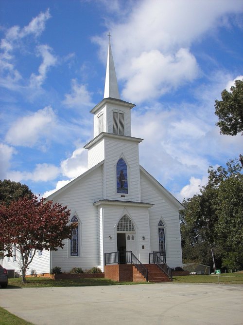
This area was long occupied by indigenous peoples. In the historic period after European encounter, it was occupied by members of the Creek Confederacy, a loose grouping of related peoples, and was known as the area of the Lower Towns by the early nineteenth century. William McIntosh, a mixed-race leader of the Creek, established a modest house and plantation here. He was executed in 1825 on order of the Creek National Council for having negotiated and signed the 1825 Treaty of Indian Springs, which ceded all remaining lands in Georgia and Alabama to the United States. He had violated tribal law, the Code of 1818 that protected communal property.
Founding dates: Wikidata, Wikipedia, the U.S. post office records of Blevins & Helbock (CC0) and the Census. Homes by year built: Census ACS 2020–24. National Register of Historic Places: National Park Service (list of May 22, 2026). Old photos, postcards and papers: Wikimedia Commons, the Library of Congress and other public archives, credited on each item’s page. Maps: U.S. Geological Survey historical topographic maps (via Esri) and Sanborn fire-insurance maps (Library of Congress). History text and census tables: Wikipedia (CC BY-SA 4.0). Places that used to be: USGS Geographic Names Information System (2021). How TownRatings grades history →
From Wikimedia Commons (8), Wikidata (1), the National Register of Historic Places (1), Wikipedia, U.S. Geological Survey historical maps, U.S. Census counts (via Wikipedia), the US Post Offices dataset (Blevins & Helbock) and the USGS Geographic Names Information System. Archive images are copied here with their credits and licenses, shown on each photo’s page. Refreshed monthly.


 2026
 2026
 2026
 2026
 2015
 2009
 2009
 2005