12% of Jekyll Island’s homes were built before 1940
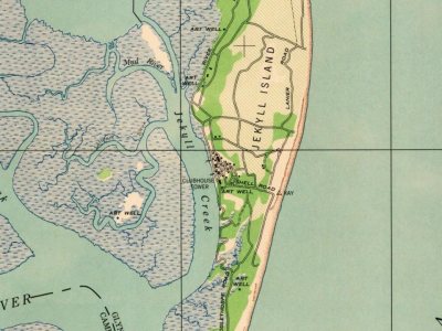
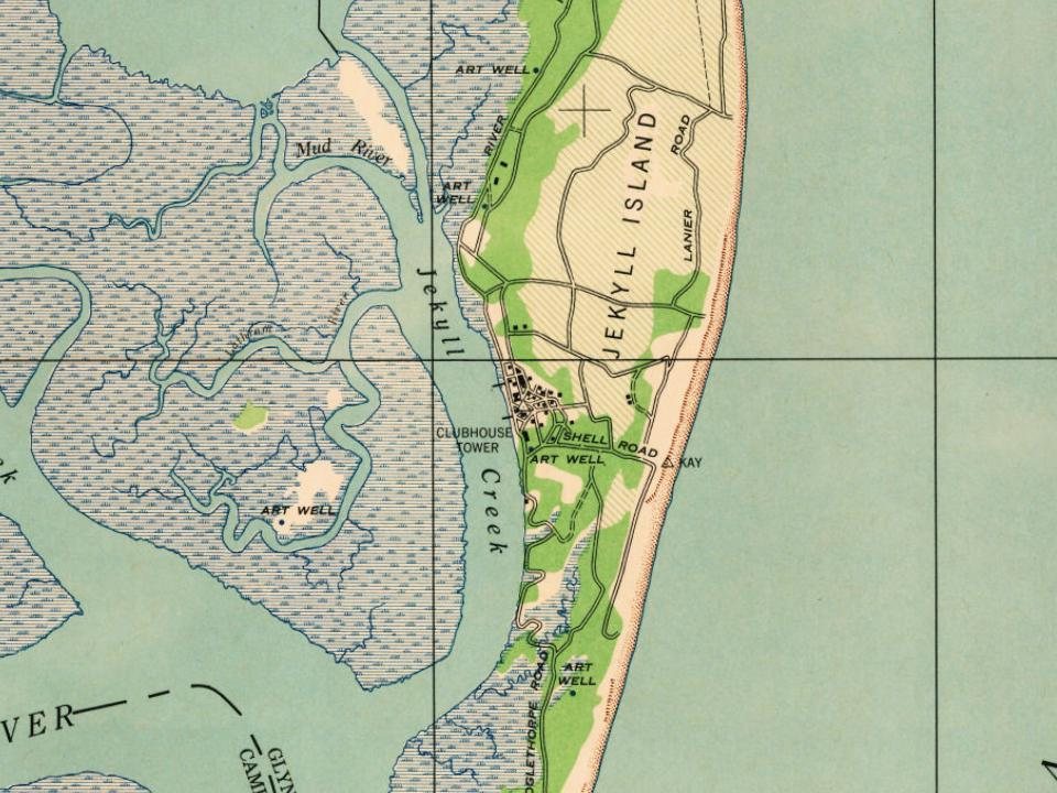
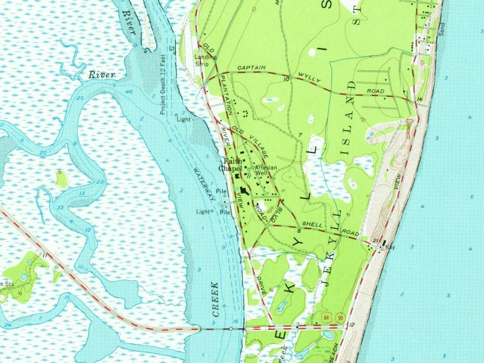
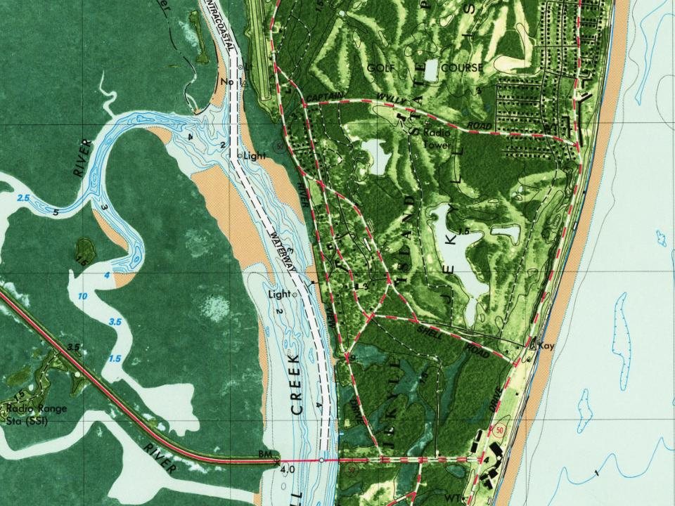
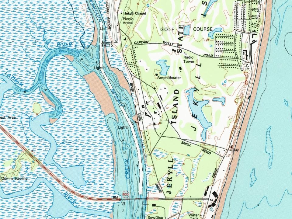
4 places in town are on the National Register, among them the Jekyll Island Club, a National Historic Landmark, and three historic districts with 14 buildings between them. Below: maps from 1945 on.
In the mid-2nd millennium, the island now known as Jekyll was near the border between the Guale people and the Mocama people. Historians have debated whether the town of Guadalquini was on Jekyll Island or St. Simon's Island, and whether the people that lived there late in the 16th century were Guale or Mocama. By early in the 17th century Guadalquini was occupied by the Mocama. Both the Guale and the Mocama became part of the Spanish mission system. In the late 17th century the Guale and the Mocama were driven out of what is now Georgia by attacks from French pirates and from native allies of the English in the Province of Carolina. The survivors resettled in what is now Florida.
Every edition of the U.S. Geological Survey’s map of Jekyll Island. Tap a year, or press play to watch the town change.
1945Brunswick sheet · 1:62,500
U.S. Geological Survey historical topographic maps (public domain), via Esri’s collection of the scans. The red ring marks the center of Jekyll Island.
Famous people
Famous people close to Jekyll Island
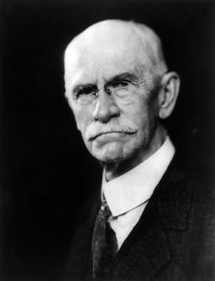
Nobody well known was born in Jekyll Island itself, so here are the best known from just nearby.
What is on the National Register in Jekyll Island?
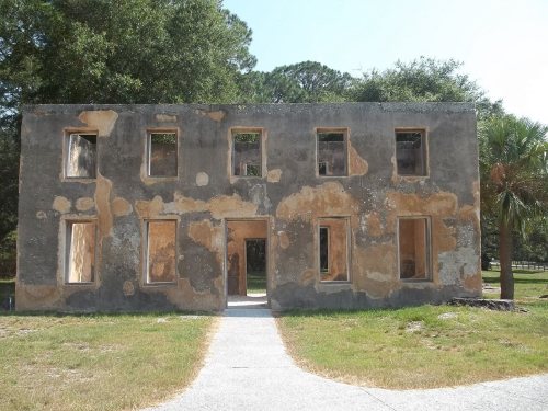
4 listings: 1 building, among them the Faith Chapel (listed 1971, the first), and 3 historic districts, the Jekyll Island Club, the Rockefeller Cottage and the Horton-duBignon House, Brewery Ruins, duBignon Cemetery, with 14 contributing buildings. 15 historic buildings in all.
Founding dates: Wikidata, Wikipedia, the U.S. post office records of Blevins & Helbock (CC0) and the Census. Homes by year built: Census ACS 2020–24. National Register of Historic Places: National Park Service (list of May 22, 2026). Old photos, postcards and papers: Wikimedia Commons, the Library of Congress and other public archives, credited on each item’s page. Maps: U.S. Geological Survey historical topographic maps (via Esri) and Sanborn fire-insurance maps (Library of Congress). History text and census tables: Wikipedia (CC BY-SA 4.0). Places that used to be: USGS Geographic Names Information System (2021). How TownRatings grades history →
From Wikidata (1), the National Register of Historic Places (4), Wikipedia, U.S. Geological Survey historical maps, the US Post Offices dataset (Blevins & Helbock) and the USGS Geographic Names Information System. Archive images are copied here with their credits and licenses, shown on each photo’s page. Refreshed monthly.


 ★ Landmark