
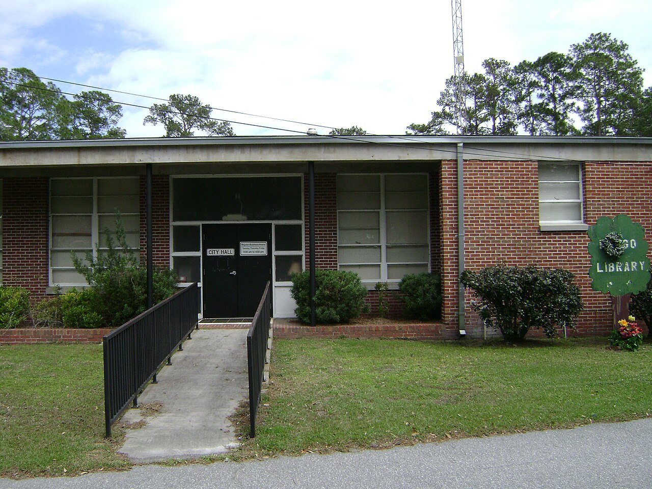
FargoCityHall, 2012
Fargo’s story
128 years in pictures
Census counts: 380 in 2000, 250 in 2020. The archive holds 12 old photos and papers going back to 2012 and 2 maps from 1967 on.
- 1898Fargo is settled
Each edition grades its towns against each other only.
A town of 263, settled in 1898.
No town among the 264 in Georgia we compare has a lower share of adults with a bachelor’s degree than Fargo. 13% of the land in Fargo is conserved, above both Georgia’s towns (2.3%) and U.S. towns (4.3%). Fargo has fewer than 1,000 residents, too few for fair grades; the figures below are still real.
In a town this size, neighbors are the best guide. Ask them anything.
Census counts: 380 in 2000, 250 in 2020. The archive holds 12 old photos and papers going back to 2012 and 2 maps from 1967 on.
Who provides power, water and the rest in Fargo, and how to reach them.
EPA SDWIS (Oct 9, 2026) · HIFLD + EIA-861 2025 · Census 2020 ZCTAs · NCES 2024–25 · registration: vote.gov, updated Nov 18, 2024.
Ordered by what stands out in Fargo.
For households in Fargo, the share who live in a home they own is 78%. Typical home values fell 5.1% in the year to September 2026.
Census ACS, 2020–24 · Zillow Home Value Index · Redfin Data Center
Households in Fargo have drawn federal disaster aid once, in 2024. Expected storm and flood damage is higher than in 83% of U.S. communities. 53% of the town’s expected losses from natural hazards come from inland flooding, followed by hurricanes at 31%.
FEMA disaster declarations and aid · FEMA National Risk Index · OpenFEMA
Fargo’s mean commuting time stands at 29 minutes. Most working residents leave Fargo for work: only 3% work in town. Among residents here, 23% live below the poverty line, above both the Georgia town median (15%) and the median of U.S. towns (9.6%). The top destinations are Homerville (28%), Waycross (8%) and Valdosta (4%).
| Fargo | Georgia towns | U.S. towns | |
|---|---|---|---|
| Below the poverty line | 23% | 15% | 9.6% |
| Average trip to work | 29 minutes | 26 minutes | 25 minutes |
| Working residents who work in town | 3.3% | 9.1% | 8% |
Census LEHD 2023 · ACS
Its peak summer temperature stands at 93°F.
NOAA U.S. Climate Normals, 1991–2020
The trail density in Fargo is 0.7 miles per square mile.
Trails & parks © OpenStreetMap contributors · Conserved land: USGS PAD-US
21% of adults in Fargo smoke cigarettes; 16% have diabetes. In Fargo, 18% of adults report frequent physical distress.
| Fargo | Georgia towns | U.S. towns | |
|---|---|---|---|
| Frequent physical distress (CDC PLACES) | 18% | 14% | 14% |
| Smoke cigarettes (CDC PLACES) | 21% | 15% | 14% |
| Diabetes (CDC PLACES) | 16% | 14% | 12% |
| Fair or poor health (CDC PLACES) | 27% | 23% | 19% |
| What stands out | Fargo | GA |
|---|---|---|
| More adults with COPD | 11.1% | 6.5% |
| More older adults who have lost all their teeth | 24.3% | 14.5% |
| More smokers | 20.5% | 13.6% |
CDC PLACES 2025 · modeled estimates for adults · CMS · HRSA
None within 15 miles of Fargo; the nearest are
About 0 of every 100 Fargo residents are enrolled in college, against 6 across Georgia.
Where Fargo’s working residents go each day. Line width shows the share.
Census LEHD 2023
City in Georgia, United States
Fargo is a city in Clinch County, Georgia, United States. As of the 2020 census, the city had a population of 250. Formerly a town, it was incorporated by the Georgia state legislature in 1992, effective from April 1. Fargo is one of the most remote cities in Georgia, with the only settlement in almost 20 miles being Williamsburg. Fargo is located near the Okefenokee Swamp and is the western gateway to the Okefenokee National Wildlife Refuge. Also nearby is Stephen C. Foster State Park. The Bugaboo Fire threatened the city in April and May 2007.
From Wikipedia, licensed CC BY-SA 4.0 · facts via Wikidata (CC0)
Short answers, built from the data on this page.
Fargo has fewer than 1,000 residents, too few for fair grades; the figures below are still real.