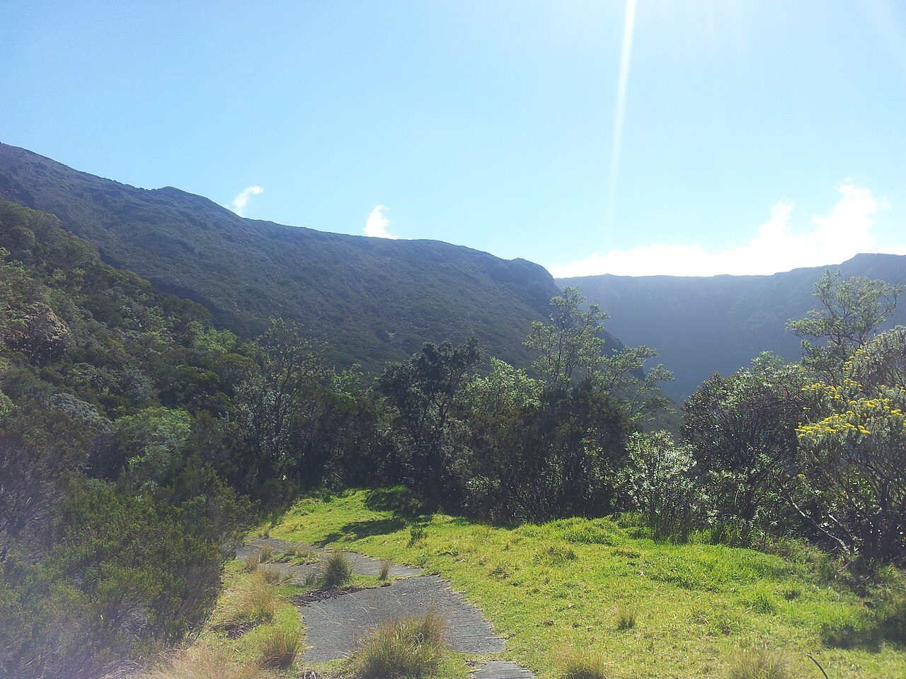
 Photo: regulator974 · CC BY-SA 3.0
Pas de Bellecombe-Jacob opens Sainte-Rose’s list
The list holds 19 places in Sainte-Rose and nothing else within 5 km of its centre. There are 16 attractions, 2 churches and a museum to choose from. For a full day, there is Piton des Neiges, 34 km away.
The best known in Sainte-Rose
The list goes on from Pas de Bellecombe-Jacob to 2 churches, 2 attractions and a museum.
Best known first: by how many Wikipedia and sister-site articles cover each place (Wikidata’s count). It isn’t a ranking of how good they are.
Mapped
Furthest out is Plateau des Basaltes, at 17 km.
The first 20 on the list, numbered as below. The shape is the commune of Sainte-Rose; the orange dot is its centre. © OpenStreetMap contributors · commune boundary: IGN
What there is to see
Other sights are the biggest group (16), then châteaux or heritage sites (2).
Dark: in Sainte-Rose. Light: in the communes within 5 km of its centre.
Every entry
The list is 19 places, all in town.
The 19 places in Sainte-Rose first, then those within 5 km of its centre.
The history of Sainte-Rose → · Parks and trails in Sainte-Rose →
A drive away
First of the 3 big names within reach is Piton des Neiges, 34 km away.
Places within 40 km of Sainte-Rose with an article in both French and English Wikipedia, nearest first.
Questions before you go to Sainte-Rose
What is there to see in Sainte-Rose?
The first on our list in Sainte-Rose are Pas de Bellecombe-Jacob, Chapelle de Rosemont, Église Notre-Dame-des-Laves and Cassé de la Rivière de l'Est. We list 19 places in town.
Are there museums in or near Sainte-Rose?
One, in town or within 5 km: Centre d'interprétation du volcanisme littoral.
What well-known places are within a day out of Sainte-Rose?
The nearest with articles in both French and English Wikipedia: Piton des Neiges (34 km), Plaine des Sables (18 km), Cascade de Grand Galet (25 km).
How is this list made?
From OpenStreetMap and Wikidata: named museums, galleries, châteaux, abbeys, gardens, zoos, theme parks and other visitor attractions whose mapped point lies inside the commune of Sainte-Rose, then those in the communes within 5 km of its centre, and well-known places within 40 km. Houses, ruins and gardens need a sign they’re open to visitors; places marked private, closed or disused are left out. The historic-monument link is the Culture ministry’s Mérimée record. A place that isn’t mapped isn’t listed, so this isn’t everything there is to see.
Sources: OpenStreetMap (© OpenStreetMap contributors, ODbL), Wikidata (CC0: descriptions, websites, Wikipedia articles), the Culture ministry’s Mérimée database (Licence Ouverte 2.0), IGN commune boundaries. Distances are from the commune’s centre point.
Contains public sector information under the Licence Ouverte / Open Licence 2.0 (Etalab): INSEE, DGFiP, the Interior Ministry’s statistics service (SSMSI), the Ministry of Education (DEPP), the Health Ministry’s statistics service (DREES) and the Housing Ministry (Carte des loyers). Commune boundaries: IGN Admin Express.