
FLMap-doton-PortStJohn, 2004
Port St. John’s story
Port St. John in pictures
Census counts: 8,933 in 1990, 23,474 in 2020. The archive holds 1 old photo or paper going back to 2004 and 4 maps from 1949 on.
Explore the history →Each edition grades its towns against each other only.
A town of 25,120. Public schools that outperform most of Florida.
Port St. John is a solid, middle-of-the-road choice. It grades C overall, ranked 319th of 634 in Florida, with no subject far below average. Its best mark is schools: its schools rank ahead of 74% of Florida towns. A typical home there costs about $281K, 3.6 years of the Palm Bay metro’s $78K median household income. FEMA rates its natural-hazard risk higher than 90% of U.S. communities, with hurricanes at the top.
Where Port St. John beats most towns, and one thing worth knowing.
12,267 counted in 2010 and 23,474 in 2020.
U.S. Census 2010 & 2020 counts
Each subject compared with towns across the country (schools within Florida), ordered by how far Port St. John is from typical.
How TownRatings grades towns →
Census counts: 8,933 in 1990, 23,474 in 2020. The archive holds 1 old photo or paper going back to 2004 and 4 maps from 1949 on.
Explore the history →Museums, parks, gardens and other places to visit around Port St. John. Close and well known come first.
 5 mi Ancient siteWindover Archaeological Site
 Big draw39 mi Theme parkUniversal Epic Universe
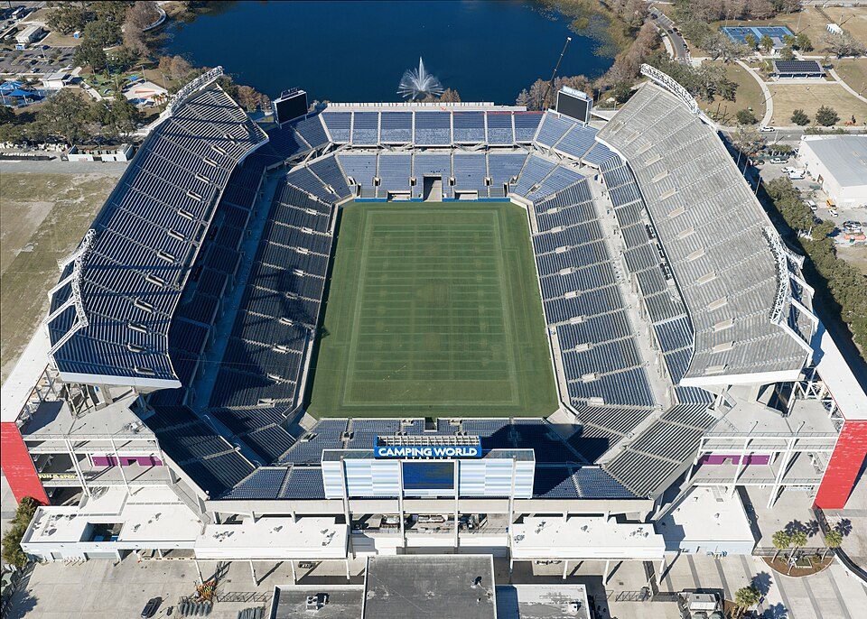 Big draw36 mi Stadium & arenaCamping World Stadium
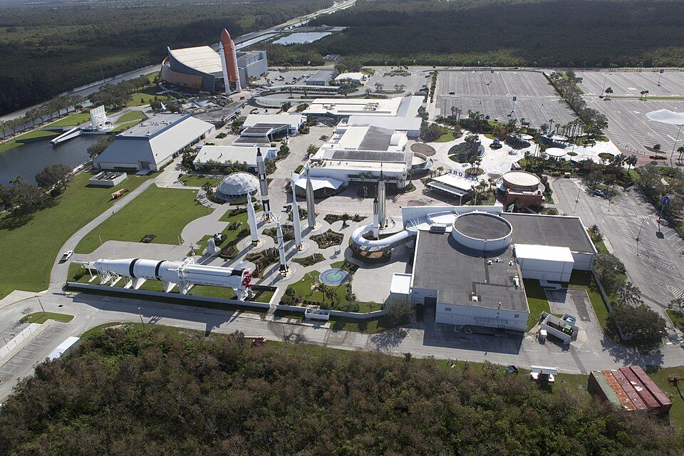 9 mi MuseumKennedy Space Center Visitor Complex
 40 mi Theme parkSeaWorld Orlando4.3M visitors a year
 35 mi Stadium & arenaKia Center
Windover Archaeological Site: ROY KLOTZ MD, CC BY-SA 3.0 · Universal Epic Universe: Martin Lewison, CC BY 2.0 · Camping World Stadium: Quintin Soloviev, CC BY 4.0 · Kennedy Space Center Visitor Complex: Bill White, Public domain · SeaWorld Orlando: SeaWorld, CC BY 2.0 · Kia Center: 350z33 (talk), CC BY-SA 3.0
Port St. John is unincorporated, so Brevard County and regional agencies provide most services.
EPA SDWIS (Oct 9, 2026) · HIFLD + EIA-861 2025 · Census 2020 ZCTAs · NCES 2024–25 · registration: vote.gov, updated Nov 17, 2025.
Ordered by what stands out in Port St. John.
Port St. John has milder winter nights than nearly all U.S. towns and sends most of its workers to Titusville and beyond.
Flood insurance has paid out on 16 claims in Port St. John since 1999. Of the losses FEMA expects here, 64% come from hurricanes and 28% from inland flooding. Federal aid has come to Port St. John households in 11 declared disasters; the latest was in 2024.
FEMA flood insurance claims · FEMA disaster declarations and aid · FEMA National Risk Index · OpenFEMA
Its public schools are run by the Brevard school district. Of its 5 schools, three are listed below, each with the reason. The largest public high school is Space Coast Junior/Senior High School, with 1,503 students.
| School | Level | Students | Letter |
|---|---|---|---|
| Atlantis Elementary SchoolLargest public elementary schoolGrades PK–6 | Grades PK–6 | 650 | B |
| Space Coast Junior/Senior High SchoolLargest public high schoolGrades 7–12 | Grades 7–12 | 1,503 | B− |
| Enterprise Elementary SchoolTop results in townGrades PK–6 | Grades PK–6 | 597 | A |
NCES · EDFacts · graded within FL on state tests and graduation
Port St. John has 1,400 jobs for its 10,861 working residents: even if every job went to a resident, most would still commute out.
The share of workers in Port St. John who work from home is 9.7%, below Florida’s towns (14%) and close to U.S. towns (11%). Jobs in Port St. John grew by 217 from 2013 to 2023, reaching 1,400. The town’s median household income stands at $88,000. Half of commuters travel less than 17 miles.
| Port St. John | Florida towns | U.S. towns | |
|---|---|---|---|
| Work from home | 9.7% | 14% | 11% |
| Median household income | $88,000 | $73,000 | $80,000 |
| Working residents who work in town | 2.7% | 5% | 8% |
| Average trip to work | 28 minutes | 27 minutes | 25 minutes |
Census LEHD 2023 · ACS
January nights average 52°, milder than in 99% of U.S. towns; July afternoons average 90.5°.
Its January low comes in at 52°F. The typical July afternoon high for Port St. John comes to 91°F, near the Florida town median (91°F) and above the median of U.S. towns (85°F). Snow is a rarity.
| Port St. John | Florida towns | U.S. towns | |
|---|---|---|---|
| January low | 52°F | 51°F | 22°F |
| July high | 91°F | 91°F | 85°F |
NOAA U.S. Climate Normals, 1991–2020
Just over a fifth of Port St. John adults have been diagnosed with depression. Against the Florida average, Port St. John comes out ahead on 3 CDC measures out of 31, and behind on 4.
| Port St. John | Florida towns | U.S. towns | |
|---|---|---|---|
| Frequent mental distress (CDC PLACES) | 19% | 16% | 17% |
| Smoke cigarettes (CDC PLACES) | 16% | 13% | 14% |
| Depression (CDC PLACES) | 21% | 18% | 23% |
| No health insurance, 18–64 (CDC PLACES) | 12% | 14% | 8.1% |
| What stands out | Port St. John | FL |
|---|---|---|
| Fewer uninsured adults | 12.4% | 15.9% |
| Fewer adults facing food insecurity | 14.5% | 16.8% |
| More smokers | 15.8% | 12.4% |
CDC PLACES 2025 · modeled estimates for adults · CMS · HRSA
1.6 miles of trail. In Port St. John, the trail network density is 0.2 miles per square mile.
| Port St. John | Florida towns | U.S. towns | |
|---|---|---|---|
| Conserved land | 7.3% | 3% | 4.3% |
| Miles of trail per square mile | 0.2 miles per square mile | 0.4 | 0.4 |
Trails & parks © OpenStreetMap contributors · Conserved land: USGS PAD-US
The median sale price was $323,000 in May 2026. For Port St. John, the rent at the middle of the market is $1,771 a month. Also worth knowing: a home in Port St. John typically sold within 44 days of listing.
| Port St. John | Florida towns | U.S. towns | |
|---|---|---|---|
| Households that own their home | 94% | 72% | 73% |
| Median rent | $1,771 a month | $1,647 a month | $1,185 a month |
Census ACS, 2020–24 · Zillow Home Value Index · Redfin Data Center
None within 15 miles of Port St. John; the nearest are
About 4 of every 100 Port St. John residents are enrolled in college, against 6 across Florida.
Where Port St. John’s working residents go each day. Line width shows the share.
Census LEHD 2023
Census-designated place in Florida, United States
Port St. John is a census-designated place located between Titusville and Cocoa in Brevard County, Florida. The population was 23,474 at the 2020 United States census, up from 12,267 at the 2010 United States census. It is part of the Palm Bay–Melbourne–Titusville, Florida Metropolitan Statistical Area.
From Wikipedia, licensed CC BY-SA 4.0 · facts via Wikidata (CC0)
One town shares a border with Port St. John.
| Town | FL rank | Overall | Cost | Safety | Schools | Health |
|---|---|---|---|---|---|---|
| Port St. John | #319 | C | C+ | — | B+ | C+ |
| Sharpes | #292 | C+ | B | — | B+ | C− |
Port St. John and Sharpes report no FBI crime data of their own. Compare Port St. John with a neighbor →
Short answers, built from the data on this page.
Port St. John grades C overall, better than 34% of U.S. towns and #319 of 634 in Florida. It grades C+ for health and B+ for schools. Hazard risk is its weak spot, with a D.
The typical home is worth about $281,000, 25% below the Florida typical home. Cost of living, which also weighs rents, property taxes and how many households pay 30% or more of their income for housing, grades C+.


