
Cornwall BridgeCT
A town of 248, settled in 1812.
Is Cornwall Bridge a good place to live?
Of the 156 Connecticut towns we compare, none has a lower share of working residents who work in town than Cornwall Bridge. 39% of the land in Cornwall Bridge is conserved, above both the Connecticut town median (14%) and the median of U.S. towns (4.3%). The biggest park or preserve is Appalachian Trail Scenic Open Space, at 139 acres. Cornwall Bridge has fewer than 1,000 residents, too few for fair grades; the figures below are still real.
248 people, and everyone knows the way
In a town this size, neighbors are the best guide. Ask them anything.
Moving to Cornwall Bridge: who provides what
Cornwall Bridge is unincorporated, so Litchfield County and regional agencies provide most services.
EPA SDWIS (Oct 9, 2026) · HIFLD + EIA-861 2025 · Census 2020 ZCTAs · NCES 2024–25 · registration: vote.gov, updated Sep 30, 2026.
The data
Ordered by what stands out in Cornwall Bridge.
Compared with most of Connecticut and the rest of the country, trail density in Cornwall Bridge is lower
At 0.1 miles per square mile, Cornwall Bridge’s trail density is below both Connecticut’s towns (1.3) and U.S. towns (0.4). 0.2 miles of trail in 3 parks and preserves.
| Biggest places to walk | Trails | Acres |
|---|---|---|
| 1. Appalachian Trail Scenic Open Space | 0.1 mi | 139 |
| 2. Kent Falls State Park | — | 76 |
| 3. Wyantenock State Forest | — | 5 |
Trails & parks © OpenStreetMap contributors · Conserved land: USGS PAD-US
Most of Cornwall Bridge’s workers commute out: the town has 0.6 jobs for each of them
Most working residents leave Cornwall Bridge for work: only 1% work in town. 19% of Cornwall Bridge residents live below the poverty line. Since 2013, Cornwall Bridge has added 27 jobs, to 58 in 2023.
| Cornwall Bridge | Connecticut towns | U.S. towns | |
|---|---|---|---|
| Below the poverty line | 19% | 5.8% | 9.6% |
| Average trip to work | 35 minutes | 27 minutes | 25 minutes |
Where working residents work
Census LEHD 2023 · ACS
Cornwall Bridge faces a high natural-hazard risk, led by inland flooding
Expected storm and flood damage is higher than in 72% of U.S. communities.
FEMA National Risk Index · OpenFEMA
Snowy winters and pleasant summers in Cornwall Bridge
Cornwall Bridge has chilly, snowy winters and pleasant summers, with plenty of rain. The July high in Cornwall Bridge is 82°F.
Typical low → high °F
NOAA U.S. Climate Normals, 1991–2020
A smaller share of adults in Cornwall Bridge feel lonely than in the typical Connecticut or U.S. town
25% of adults feel lonely in Cornwall Bridge. Cornwall Bridge beats the Connecticut average on 14 of 32 CDC measures and trails it on 8. 12% of adults report frequent mental distress in Cornwall Bridge.
| Cornwall Bridge | Connecticut towns | U.S. towns | |
|---|---|---|---|
| Feel lonely (CDC PLACES) | 25% | 31% | 33% |
| Frequent mental distress (CDC PLACES) | 12% | 15% | 17% |
| Binge drink (CDC PLACES) | 13% | 16% | 16% |
| Yearly checkup (CDC PLACES) | 85% | 81% | 79% |
| What stands out | Cornwall Bridge | CT |
|---|---|---|
| Fewer adults facing housing insecurity | 6.9% | 12.5% |
| Fewer adults facing food insecurity | 8.3% | 14.9% |
| More adults who have had cancer | 13.3% | 8.5% |
CDC PLACES 2025 · modeled estimates for adults · CMS · HRSA
Home of Franklin D. Roosevelt National Historic Site and 64 more within 40 miles
Museums, parks, gardens and other places to visit around Cornwall Bridge. Close and well known come first.
 26 mi National Historic SiteHome of Franklin D. Roosevelt National Historic Site102K visitors a year
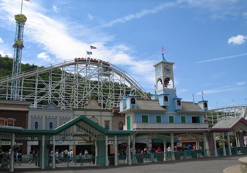 26 mi Theme parkLake Compounce
 22 mi LakeCandlewood Lake
 36 mi Stadium & arenaPeoplesBank Arena
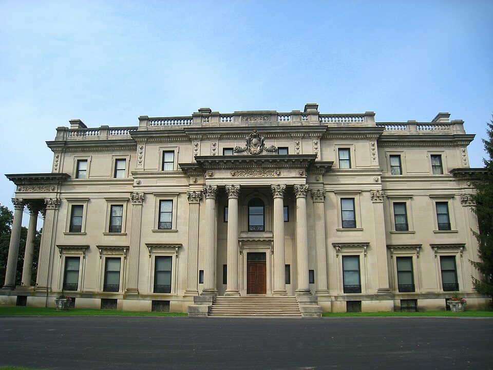 29 mi National Historic SiteVanderbilt Mansion National Historic Site295K visitors a year
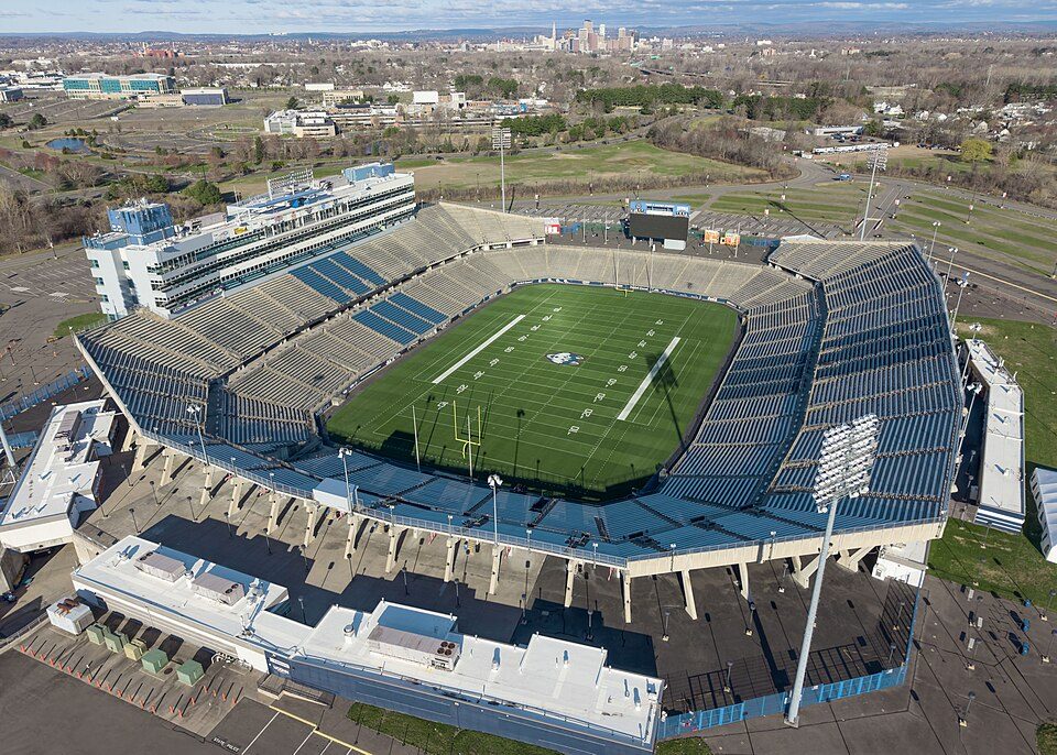 40 mi Stadium & arenaPratt & Whitney Stadium
Photo credits
Home of Franklin D. Roosevelt National Historic Site: Crunch, CC BY-SA 4.0 · Lake Compounce: Wildcat1 at English Wikipedia, Public domain · Candlewood Lake: Carol M. Highsmith, Public domain · PeoplesBank Arena: PeoplesBank Arena, CC BY 2.5 · Vanderbilt Mansion National Historic Site: Daderot, Public domain · Pratt & Whitney Stadium: Quintin Soloviev, CC BY 4.0


Everything we know about Cornwall Bridge
Colleges nearby
None within 15 miles of Cornwall Bridge; the nearest are
About 2 of every 100 Cornwall Bridge residents are enrolled in college, against 7 across Connecticut.
99% of working residents leave Cornwall Bridge for work
Where Cornwall Bridge’s working residents go each day. Line width shows the share.
Census LEHD 2023
About Cornwall Bridge
Census-designated place in Connecticut, United States
Cornwall Bridge is a census-designated place (CDP) comprising the hamlets of Cornwall Bridge and Calhoun Corners in the towns of Cornwall and Sharon, Litchfield County, Connecticut, United States. It is primarily in the southwestern corner of the town of Cornwall, but extends west across the Housatonic River into the town of Sharon in the northern part of the CDP. U.S. Route 7 runs the length of the CDP, following the eastern side of the Housatonic River and crossing it on the Cornwall Bridge in the northern part of the CDP. Cornwall Bridge was first listed as a CDP prior to the 2020 census. As of the 2020 census, Cornwall Bridge had a population of 287.
From Wikipedia, licensed CC BY-SA 4.0 · facts via Wikidata (CC0)
- Elevation
- 476 ft
- ZIP code
- 06754
Questions about Cornwall Bridge
Short answers, built from the data on this page.
Is Cornwall Bridge, CT a good place to live?
Cornwall Bridge has fewer than 1,000 residents, too few for fair grades; the figures below are still real.