
OxfordRTD, 2008
Sheridan’s story
136 years in pictures
Census counts: 442 in 1900, 6,105 in 2020. The archive holds 6 old photos and papers going back to 2008 and 5 maps from 1948 on.
- 1890Sheridan is settled
Each edition grades its towns against each other only.

Sheridan earns a D, ranked 156th of 158 in Colorado, mostly because of safety and schools. It reports more crime per resident than 99% of U.S. towns, including 41 violent crimes reported to the FBI in 2025. Its public schools trail 94% of Colorado towns on state tests and graduation. In its favor, it has 9 miles of trail. Sheridan’s property crime rate is 61 per 1,000 residents, against 15.2 in Colorado’s towns and 9.9 across U.S. towns. Sheridan is easier to get around on foot or by transit than 87% of U.S. towns. Only 9 of Colorado’s 146 towns score lower on civic life.
Where Sheridan beats most towns, and one thing worth knowing.
Where Sheridan’s working residents go each day. Line width shows the share.
Census LEHD 2023
Each subject compared with towns across the country (schools within Colorado), ordered by how far Sheridan is from typical.
How TownRatings grades towns →
Census counts: 442 in 1900, 6,105 in 2020. The archive holds 6 old photos and papers going back to 2008 and 5 maps from 1948 on.
Museums, parks, gardens and other places to visit around Sheridan. Close and well known come first.
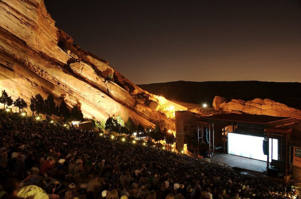 Big draw10 mi TheatreRed Rocks Amphitheatre
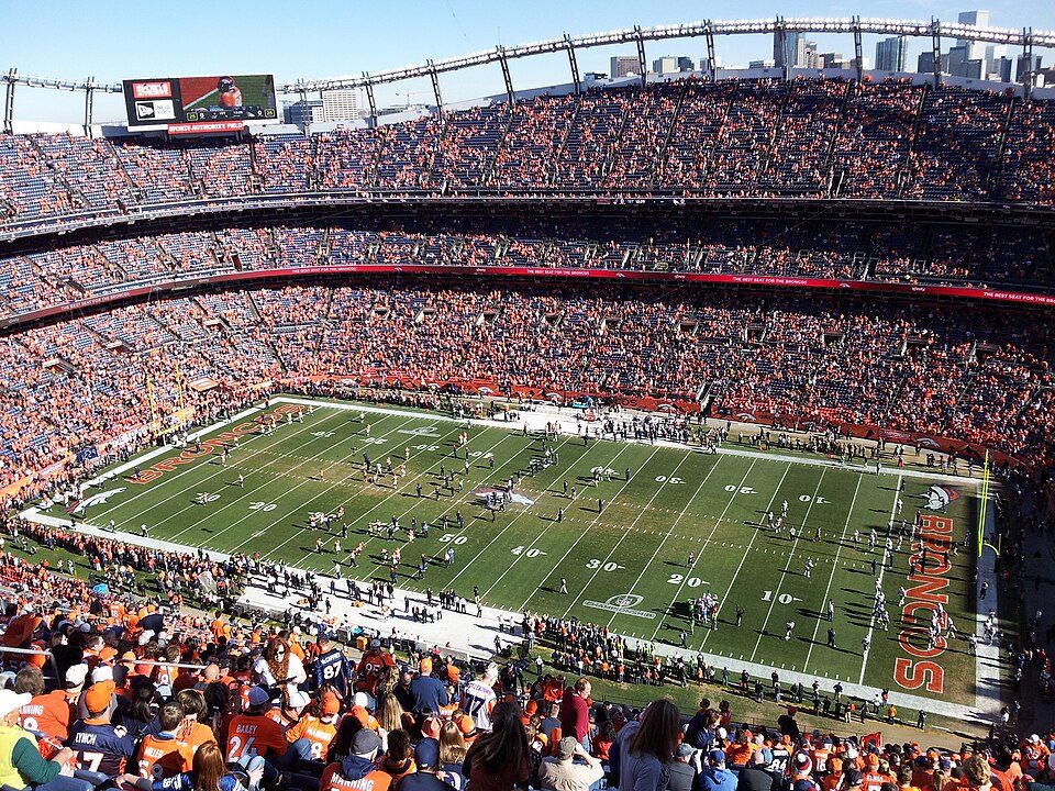 Big draw7 mi Stadium & arenaEmpower Field at Mile High
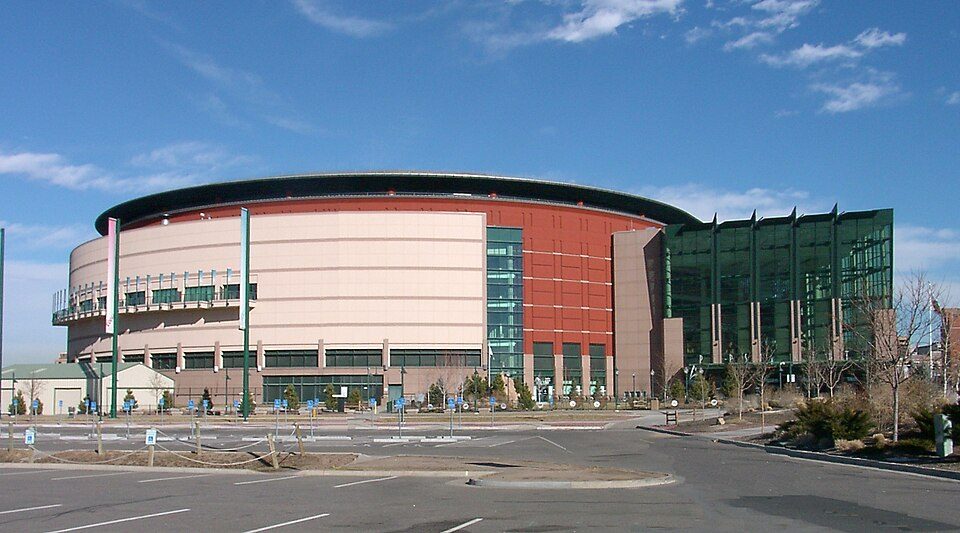 7 mi Stadium & arenaBall Arena
 8 mi Stadium & arenaCoors Field
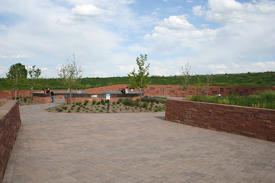 4 mi LandmarkColumbine Memorial
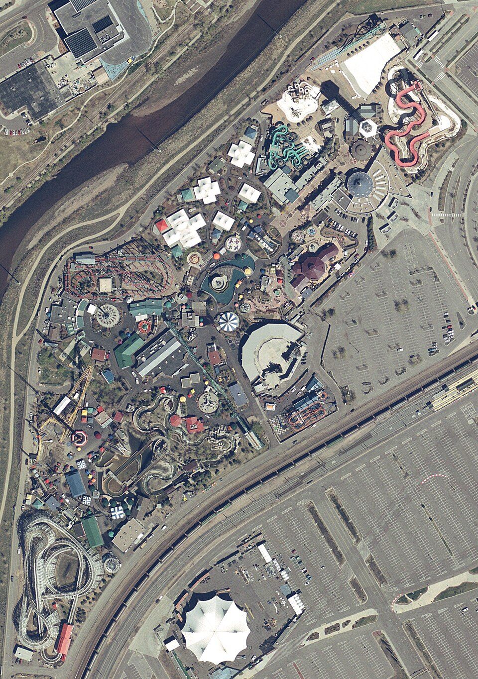 7 mi Theme parkElitch Gardens Theme Park
Red Rocks Amphitheatre: Unknown, CC BY-SA 3.0 · Empower Field at Mile High: Thelastcanadian, CC BY-SA 3.0 · Ball Arena: KM Newnham, CC BY-SA 2.5 · Coors Field: Matt Kozlowski, CC BY-SA 3.0 · Columbine Memorial: Denverjeffrey, CC BY 3.0 · Elitch Gardens Theme Park: USGS, Public domain
Who provides power, water and the rest in Sheridan, and how to reach them.
EPA SDWIS (Oct 9, 2026) · HIFLD + EIA-861 2025 · Census 2020 ZCTAs · NCES 2024–25 · registration: vote.gov, updated Nov 18, 2024.
Ordered by what stands out in Sheridan.
Sheridan draws workers from Denver and beyond, is healthier than towns with similar incomes and has a shorter frost-free season than most of the country, though not than most of Colorado.
9.4 miles of trail in 6 parks and preserves. Sheridan’s trail density is 4.1 miles per square mile.
| Biggest places to walk | Trails | Acres |
|---|---|---|
| 1. Centennial Park | 0.1 mi | 9 |
| 2. Bear Creek Park and Trail | — | 2 |
| 3. Wildcat Park | 0.1 mi | 1 |
Trails & parks © OpenStreetMap contributors · Conserved land: USGS PAD-US
Its public schools are run by the Sheridan School District No. 2. The largest public high school is Sheridan High School, with 321 students.
| School | Level | Students | Letter |
|---|---|---|---|
| Fort Logan NorthgateLargest public middle schoolGrades 3–8 | Grades 3–8 | 338 | D |
| Sheridan High SchoolLargest public high schoolGrades 9–12 | Grades 9–12 | 321 | C− |
NCES · EDFacts · graded within CO on state tests and graduation
Property crime runs at 61 per 1,000 residents, about twice the Colorado rate, most of it theft.
Sheridan reports more crime per resident than most U.S. towns we grade: about 99% report less. The violent crime rate in Sheridan is 7 per 1,000 residents.
FBI crime data, 2025 · crimes reported to police
7,843 jobs are based in Sheridan, 2.9 for every working resident, so most of the people who work here commute in. Jobs based here grew from 5,824 in 2013 to 7,843.
Most working residents leave Sheridan for work: only 3% work in town. Since 2013, Sheridan has added 2,019 jobs, to 7,843 in 2023. 14% of residents live below the poverty line in Sheridan.
| Sheridan | Colorado towns | U.S. towns | |
|---|---|---|---|
| Median household income | $61,000 | $95,000 | $80,000 |
| Below the poverty line | 14% | 8.4% | 9.6% |
| Average trip to work | 27 minutes | 25 minutes | 25 minutes |
| Working residents who work in town | 3.2% | 7.8% | 8% |
Census LEHD 2023 · ACS
The typical value, about $415K, is 11% below its July 2022 peak. 65.1% of renter households pay 30% or more of their income for housing, against 52.9% across Colorado.
The typical Sheridan home is worth about $415,000, down 4.1% in a year, 21% below the Colorado typical home. 59% of Sheridan households own their home.
| Sheridan | Colorado towns | U.S. towns | |
|---|---|---|---|
| Households that own their home | 59% | 71% | 73% |
| Median rent | $1,622 a month | $1,812 a month | $1,185 a month |
Census ACS, 2020–24 · Zillow Home Value Index · Redfin Data Center
The Marston Fltr Plt weather station records that the frost-free season runs about 160 days: shorter than most of the country, but longer than 89% of Colorado places with climate records.
Sheridan has chilly, snowy winters and warm summers, with very little rain. July afternoons reach 89°, January nights drop to 19° and about 34 inches of snow falls in a winter.
NOAA U.S. Climate Normals, 1991–2020
Expected storm and flood damage is higher than in 64% of U.S. communities.
FEMA National Risk Index · OpenFEMA
Against the 9,092 U.S. towns with household incomes like Sheridan’s, it is healthier than 77%, so its B− isn’t only a matter of income. Within Colorado it is less healthy than 89% of the 159 graded towns: Colorado sets a high bar.
Sheridan beats the Colorado average on 1 of 26 CDC measures and trails it on 18.
| Sheridan | Colorado towns | U.S. towns | |
|---|---|---|---|
| No health insurance, 18–64 (CDC PLACES) | 19% | 10% | 8.1% |
| Yearly checkup (CDC PLACES) | 68% | 71% | 79% |
| Fair or poor health (CDC PLACES) | 22% | 15% | 19% |
| Frequent physical distress (CDC PLACES) | 15% | 12% | 14% |
| What stands out | Sheridan | CO |
|---|---|---|
| Fewer adults who have had cancer | 6.9% | 7.8% |
| More uninsured adults | 19% | 11.1% |
CDC PLACES 2025 · modeled estimates for adults · CMS · HRSA
19 within 15 miles of the center of Sheridan
About 4 of every 100 Sheridan residents are enrolled in college, against 6 across Colorado.
22.1% of the town is conserved land, across 6 parks and preserves.
City in Colorado, United States
The City of Sheridan is a home rule municipality located in Arapahoe County, Colorado, United States. Sheridan is a part of the Denver–Aurora–Lakewood, CO Metropolitan Statistical Area. The population was 6,105 at the 2020 census.
From Wikipedia, licensed CC BY-SA 4.0 · facts via Wikidata (CC0)
2 towns share a border with Sheridan.
Short answers, built from the data on this page.
Sheridan grades D overall, better than 5% of U.S. towns and #156 of 158 in Colorado. It grades B− for health, D− for safety and D for schools. Safety is its weak spot, with a D−.
That is 3.9 years of the area's median household income ($105,762 across the Denver-Aurora-Centennial, CO metro area). Cost of living, which also weighs rents, property taxes and how many households pay 30% or more of their income for housing, grades C+.


