Ouray’s post office opened in 1875, and 25% of its homes were built before 1940
3 places in town are on the National Register, among them a historic district with 270 buildings. Below: 17 old photos and papers, maps from 1886 on, and the census since 1880.
Nothing in the archives for these yearsWeddings on Main Street, storms, parades, school pictures, the old store. If it’s in your family album, it belongs here.
Established by miners seeking silver and gold in the surrounding mountains, the town once boasted more horses and mules than people. Prospectors arrived in the area in 1875. In 1877, William Weston and George Barber found the Gertrude and Una gold veins in Imogene Basin, six miles south southwest of Ouray. Thomas Walsh acquired the two veins and all the open ground nearby. In 1897, Walsh opened the Camp Bird Mine, adding a twenty-stamp mill in 1898, and a forty-stamp mill in 1899. The mine produced almost 200,000 ounces of gold by 1902, when Walsh sold out to Camp Bird, Ltd. By 1916, Camp Bird, Ltd., had produced over one million ounces of gold.
Fire insurance maps drew every building, what it was made of and what it was used for, so insurers could price the risk of fire. Pick a year, then a sheet.
Founding dates: Wikidata, Wikipedia, the U.S. post office records of Blevins & Helbock (CC0) and the Census. Homes by year built: Census ACS 2020–24. National Register of Historic Places: National Park Service (list of May 22, 2026). Old photos, postcards and papers: Wikimedia Commons, the Library of Congress and other public archives, credited on each item’s page. Maps: U.S. Geological Survey historical topographic maps (via Esri) and Sanborn fire-insurance maps (Library of Congress). History text and census tables: Wikipedia (CC BY-SA 4.0). Places that used to be: USGS Geographic Names Information System (2021). How TownRatings grades history →
From Wikimedia Commons (7), the Library of Congress (10), Wikidata (1), the National Register of Historic Places (3), Wikipedia, Wikidata and Wikipedia for famous people, U.S. Geological Survey historical maps, U.S. Census counts (via Wikipedia), the US Post Offices dataset (Blevins & Helbock), the USGS Geographic Names Information System and Sanborn fire insurance maps (Library of Congress). Archive images are copied here with their credits and licenses, shown on each photo’s page. Refreshed monthly.


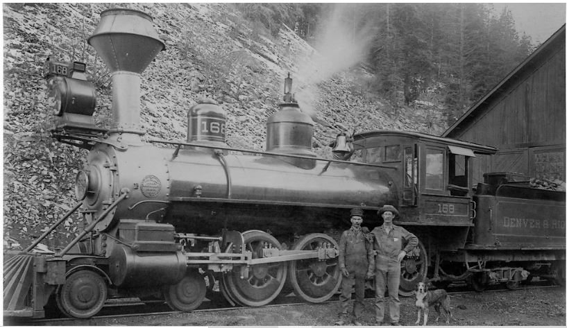


 1880s
 c. 1890
 1896
 1898
 1900
 1901
 1901
 1901
 1901
 1902
 1902
 1903
 1915
 1915
 1939
 1939
 1939


