144 years in pictures
Census counts: 1,330 in 1890, 20,291 in 2020. The archive holds 12 old photos and papers going back to 1909 and 3 maps from 1909 on.
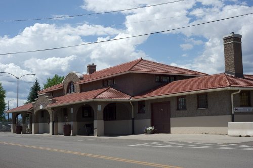
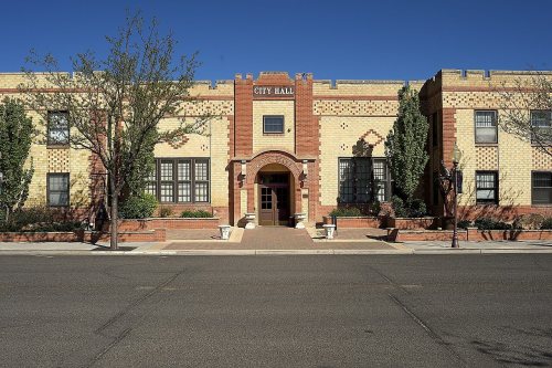
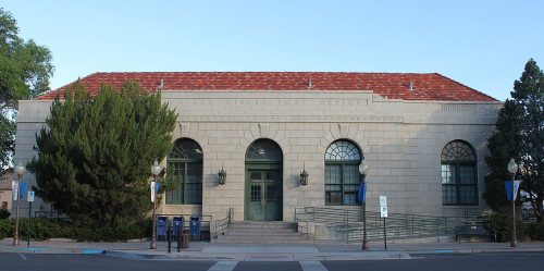
14 places on the National Register of Historic Places.
- 1882Montrose is settled
Each edition grades its towns against each other only.

Montrose is a solid, middle-of-the-road choice. It grades C overall, 127th among Colorado's 158 graded towns, with no subject far below average. Its best mark is health: CDC estimates put its residents' health ahead of 68% of the country. Expect to pay for it: homes are expensive, about $467K for a typical one and 6.5 times the Montrose area’s $72K median household income. 52% of working residents work locally in Montrose, against 7.5% in Colorado’s towns and 8% across U.S. towns. Montrose has 14 places on the National Register of Historic Places, among them Gunnison Tunnel and Thomas B. Townsend House. Montrose is easier to get around on foot or by transit than 78% of U.S. towns.
Where Montrose beats most towns.
Census counts: 1,330 in 1890, 20,291 in 2020. The archive holds 12 old photos and papers going back to 1909 and 3 maps from 1909 on.
14 places on the National Register of Historic Places.
Each subject compared with towns across the country (schools within Colorado), ordered by how far Montrose is from typical.
How TownRatings grades towns →
Museums, parks, gardens and other places to visit around Montrose. Close and well known come first.
7 mi National ParkBlack Canyon of the Gunnison National Park250K visitors a year38 mi Ski areaTelluride Ski Area161 runs · 3,803 ft vertical
12 mi National Recreation AreaCurecanti National Recreation Area807K visitors a year
34 mi National forestUncompahgre National Forest
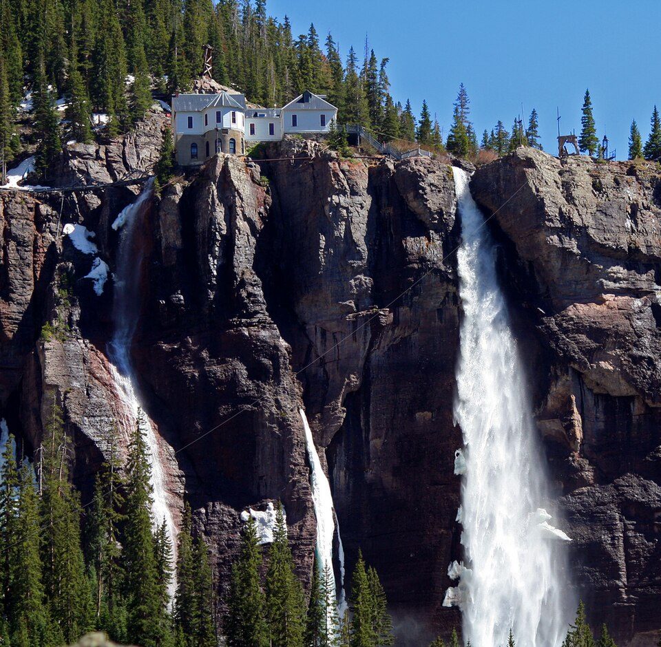
38 mi WaterfallBridal Veil Falls18 mi Ski areaCimarron Mountain Club45 runs · 1,542 ft verticalBlack Canyon of the Gunnison National Park: http://www.terraprints.com, CC BY 2.5 · Curecanti National Recreation Area: The original uploader was Nationalparks at English Wikipedia., CC BY-SA 2.5 · Uncompahgre National Forest: Unknown authorUnknown author, CC BY-SA 3.0 · Bridal Veil Falls: Terry Foote (talk), CC BY-SA 3.0
Who provides power, water and the rest in Montrose, and how to reach them.
EPA SDWIS (Oct 9, 2026) · HIFLD + EIA-861 2025 · Census 2020 ZCTAs · NCES 2024–25 · registration: vote.gov, updated Nov 18, 2024.
Ordered by what stands out in Montrose.
Montrose is healthier than towns with similar incomes, has seen reported crime fall by a fifth or more and has a shorter frost-free season than most of the country, though not than most of Colorado.
Its public schools are run by the Montrose County School District Re-1J. Two of its 12 schools are below, each with why it’s listed.
| School | Level | Students | Letter |
|---|---|---|---|
| Centennial Middle SchoolLargest public middle schoolGrades 6–8 | Grades 6–8 | 540 | C+ |
| Montrose High SchoolLargest public high schoolGrades 9–12 | Grades 9–12 | 1,279 | B |
NCES · EDFacts · graded within CO on state tests and graduation
Reported crimes fell from 529 to 426 over the last three FBI years, a drop beyond ordinary year-to-year swings.
Montrose’s property crime rate is 17.6 per 1,000 residents. Within Colorado, it does better than 53% of towns.
| Montrose | Colorado towns | U.S. towns | |
|---|---|---|---|
| Property crimes per 1,000 (2025) | 17.6 per 1,000 residents | 15.2 | 9.9 |
| Violent crimes per 1,000 (2025) | 1.8 per 1,000 residents | 2.3 | 1.6 |
FBI crime data, 2025 · crimes reported to police
19 miles of trail in 12 parks and preserves. The trail density in Montrose is 1.0 miles per square mile. The biggest place to walk is Baldridge Park, 144 acres with 3.6 miles of trail.
| Montrose | Colorado towns | U.S. towns | |
|---|---|---|---|
| Conserved land | 9.8% | 6.8% | 4.3% |
| Miles of trail per square mile | 1.0 miles per square mile | 1.3 | 0.4 |
| Biggest places to walk | Trails | Acres |
|---|---|---|
| 1. Baldridge Park | 3.6 mi | 144 |
| 2. Ute Park | 0.1 mi | 20 |
| 3. Airport Industrial Park | — | 12 |
Trails & parks © OpenStreetMap contributors · Conserved land: USGS PAD-US
Against the 10,539 U.S. towns with household incomes like Montrose’s, it is healthier than 84%, so its B+ isn’t only a matter of income. Within Colorado it is less healthy than 73% of the 159 graded towns: Colorado sets a high bar.
15% of Montrose adults binge drink. Montrose beats the Colorado average on 3 of 26 CDC measures and trails it on 14. 29% of Montrose adults sleep under 7 hours.
| Montrose | Colorado towns | U.S. towns | |
|---|---|---|---|
| Binge drink (CDC PLACES) | 15% | 18% | 16% |
| Sleep under 7 hours (CDC PLACES) | 29% | 30% | 36% |
| Frequent physical distress (CDC PLACES) | 15% | 12% | 14% |
| Yearly checkup (CDC PLACES) | 74% | 71% | 79% |
| What stands out | Montrose | CO |
|---|---|---|
| Fewer binge drinkers | 15% | 19% |
| More adults treating high blood pressure | 77.1% | 69.5% |
| More adults with heart disease | 7.9% | 5.1% |
CDC PLACES 2025 · modeled estimates for adults · CMS · HRSA
The Montrose #2 weather station records that the frost-free season runs about 167 days: shorter than most of the country, but longer than 78% of Colorado places with climate records.
Montrose has chilly winters and warm summers, with very little rain. July afternoons reach 90°, January nights drop to 15° and about 22 inches of snow falls in a winter.
NOAA U.S. Climate Normals, 1991–2020
Since 2013, Montrose has added 1,363 jobs, to 11,658 in 2023. 12% of residents live below the poverty line in Montrose. The top destinations are Grand Junction (6%), Delta (3%) and Denver (2%).
| Montrose | Colorado towns | U.S. towns | |
|---|---|---|---|
| Average trip to work | 20 minutes | 25 minutes | 25 minutes |
| Median household income | $70,000 | $95,000 | $80,000 |
| Work from home | 11% | 18% | 11% |
| Below the poverty line | 12% | 8.4% | 9.6% |
Census LEHD 2023 · ACS
The typical Montrose home is worth about $467,000, up 2% in a year, 12% below the Colorado typical home.
| Montrose | Colorado towns | U.S. towns | |
|---|---|---|---|
| Median rent | $1,197 a month | $1,812 a month | $1,185 a month |
| Households that own their home | 71% | 71% | 73% |
Zillow Home Value Index · Redfin Data Center
Expected storm and flood damage is lower than in 51% of U.S. communities. Since 1979, 2 flood insurance claims have been paid out in Montrose.
FEMA flood insurance claims · FEMA National Risk Index · OpenFEMA
None within 15 miles of Montrose; the nearest are
About 3 of every 100 Montrose residents are enrolled in college, against 6 across Colorado.
14 places in Montrose on the National Register of Historic Places.
6 notable people were born in Montrose.
City in Colorado, United States
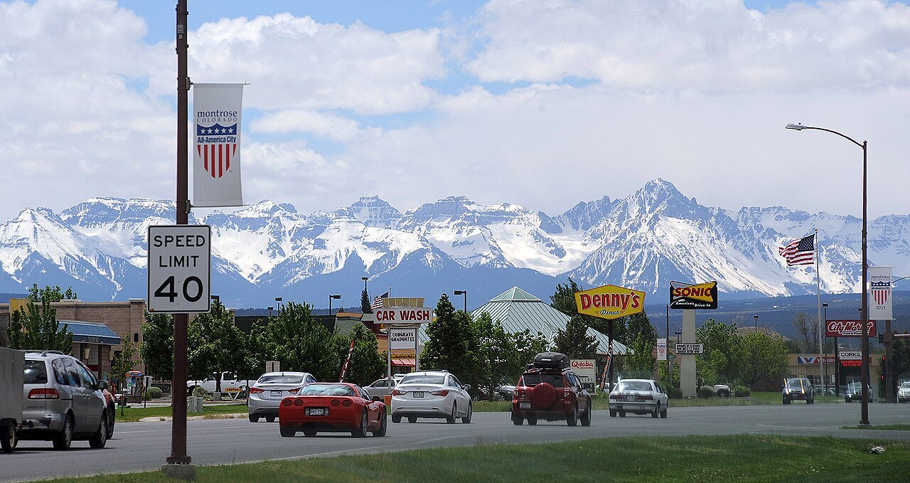
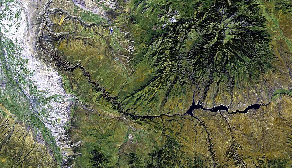
Montrose is a home rule municipality that is the county seat of and the most populous municipality in Montrose County, Colorado, United States. The city population was 20,291 at the 2020 census, within a total area of 18.5 square miles. The main road that leads in and out of Montrose is U.S. Highway 50. The city is located in western Colorado, in the Uncompahgre Valley, and is an economic, labor, and transportation waypoint for the surrounding area. Montrose is the second-largest city in western Colorado, after Grand Junction.
From Wikipedia, licensed CC BY-SA 4.0 · facts via Wikidata (CC0)
Short answers, built from the data on this page.
Montrose grades C overall, better than 28% of U.S. towns and #127 of 158 in Colorado. It grades B+ for health, C for safety and B− for schools.
Within Colorado, it does better than 53% of towns.
Cost of living, which also weighs rents, property taxes and how many households pay 30% or more of their income for housing, grades C.
6 notable people were born here, including Dalton Trumbo and Al Taliaferro.