
Curecanti National Recreation Area
Curecanti National Recreation Area (Pronounced (locally) or .) is a National Park Service unit located on the Gunnison River in western Colorado. Visitors find it 14 mi southwest of Gunnison. Management falls to the National Park Service. In 2025, it drew 807K visitors.

A national recreation area, 14 mi southwest of Gunnison
Winters are cold
January nights drop to 0°, with about 50" of snow a year. When to go ↓
Visits fell 18% in 2025
The National Park Service counted 807,117 visitors in 2025, down from 980,899 the year before. Visitors ↓
You can sleep inside the park
3 places to stay are inside the park: Lake Fork Campground and Elk Creek Campground. The nearest town with more is Gunnison. Where to stay ↓
Best months: Jul and Aug
July and August are the mild months, with highs of 79–82°. When to go ↓
Established in 1965
Curecanti National Recreation Area dates from 1965 and is run by National Park Service. About ↓
Written from National Park Service visitor counts, NOAA 1991–2020 normals, Overture places to stay, Census town figures, Wikidata and Wikipedia. Updated when the Park Service posts a new month.
Picking a month
Pick a quieter month for Curecanti from the chart below.
Curecanti National Recreation Area
Curecanti National Recreation Area (Pronounced (locally) or .) is a National Park Service unit located on the Gunnison River in western Colorado. Established in 1965, Curecanti National Recreation Area is responsible for developing and managing recreational facilities on three reservoirs, Blue Mesa Reservoir, Morrow Point Reservoir and Crystal Reservoir, constructed on the upper Gunnison River in the 1960s by the U.S. Bureau of Reclamation to better utilize the vital waters of the Colorado River and its major tributaries. A popular destination for boating and fishing, Curecanti offers visitors two marinas, traditional and group campgrounds, hiking trails, boat launches, and boat-in campsites. The state's premiere lake trout and Kokanee salmon fisheries, Curecanti is a popular destination for boating and fishing, and is also a popular area for ice-fishing in the winter months.
- Type
- National Recreation Area
- Established
- 1965
- Run by
- National Park Service
- Wikipedia readers
- 3.3K a year
- Official site
- nps.gov/cure
Hours, entry and address
Nights near Curecanti National Recreation Area
You can sleep inside the park (3 places). The closest towns with hotels, motels or campgrounds are Gunnison (26) and Lake City (27).
Stay in the park
- Lake Fork Campground campground
- Elk Creek Campground campground
- Blue Mesa Adventure Camping Pods campground
Gunnison
The closest town with somewhere to stay.
6,836 people
14 mi northeast of Elk Creek Visitor Center · 5 mi to the park
Lake City
416 people · 41% vacation homes
32 mi south of Elk Creek Visitor Center · 25 mi to the park
Crested Butte
1,693 people · 34% vacation homes
30 mi north of Elk Creek Visitor Center · 24 mi to the park
Compare 8 towns
| Town | From the visitor center | Drive | Places to stay | People | Typical home | Safety |
|---|---|---|---|---|---|---|
| Gunnison | 14 mi northeast | 20 min | 26 10 hotels · 6 motels · 1 inn or B&B · 3 lodges & cabins · 1 hostel · 4 campgrounds · 1 RV park | 6,836 | $461K | D |
| Lake City 41% vacation homes | 32 mi south | 50 min | 27 5 hotels · 2 motels · 1 inn or B&B · 13 lodges & cabins · 4 campgrounds · 2 RV parks | 416 | $429K | — |
| Crested Butte 34% vacation homes | 30 mi north | 45 min | 15 5 hotels · 3 inns & B&Bs · 5 lodges & cabins · 1 hostel · 1 RV park | 1,693 | $1,011K | B+ |
| Montrose | 38 mi west | 1 hr | 27 14 hotels · 2 motels · 1 inn or B&B · 4 lodges & cabins · 4 campgrounds · 2 RV parks | 21,583 | $388K | C |
| Ouray 28% vacation homes | 41 mi southwest | 1 hr | 33 10 hotels · 3 motels · 10 inns & B&Bs · 4 lodges & cabins · 5 campgrounds · 1 RV park | 929 | $588K | — |
| Mount Crested Butte 57% vacation homes | 32 mi north | 50 min | 14 9 hotels · 1 inn or B&B · 4 lodges & cabins | 966 | $555K | — |
| Crawford | 29 mi northwest | 45 min | 5 2 hotels · 1 inn or B&B · 2 lodges & cabins | 411 | $208K | — |
| Paonia | 36 mi northwest | 55 min | 8 1 hotel · 2 motels · 3 inns & B&Bs · 1 hostel · 1 RV park | 1,477 | $344K | — |
Getting there
Nearest airports with airline service, from the visitor center
Also within reach
All of these are within 66 miles.
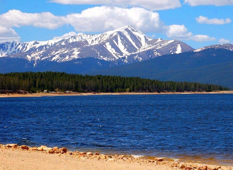 Big draw66 mi MountainMount Elbert
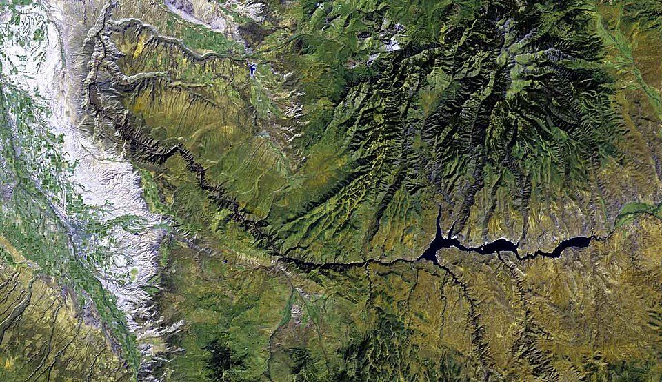 123 mi National ParkBlack Canyon of the Gunnison National Park250K visitors a year
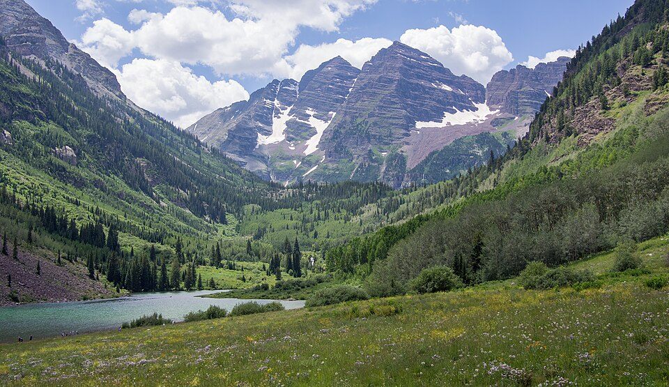 46 mi MountainMaroon Bells
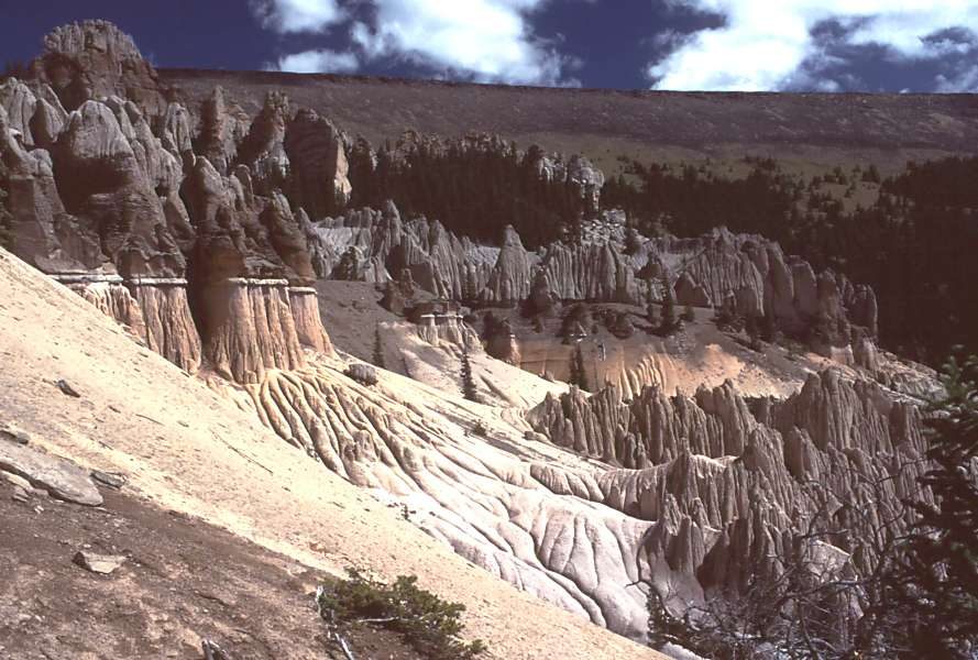 53 mi MountainLa Garita Caldera
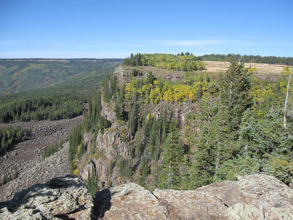 57 mi MountainGrand Mesa
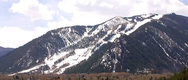 56 mi Ski areaAspen Mountain138 runs · 3,299 ft vertical
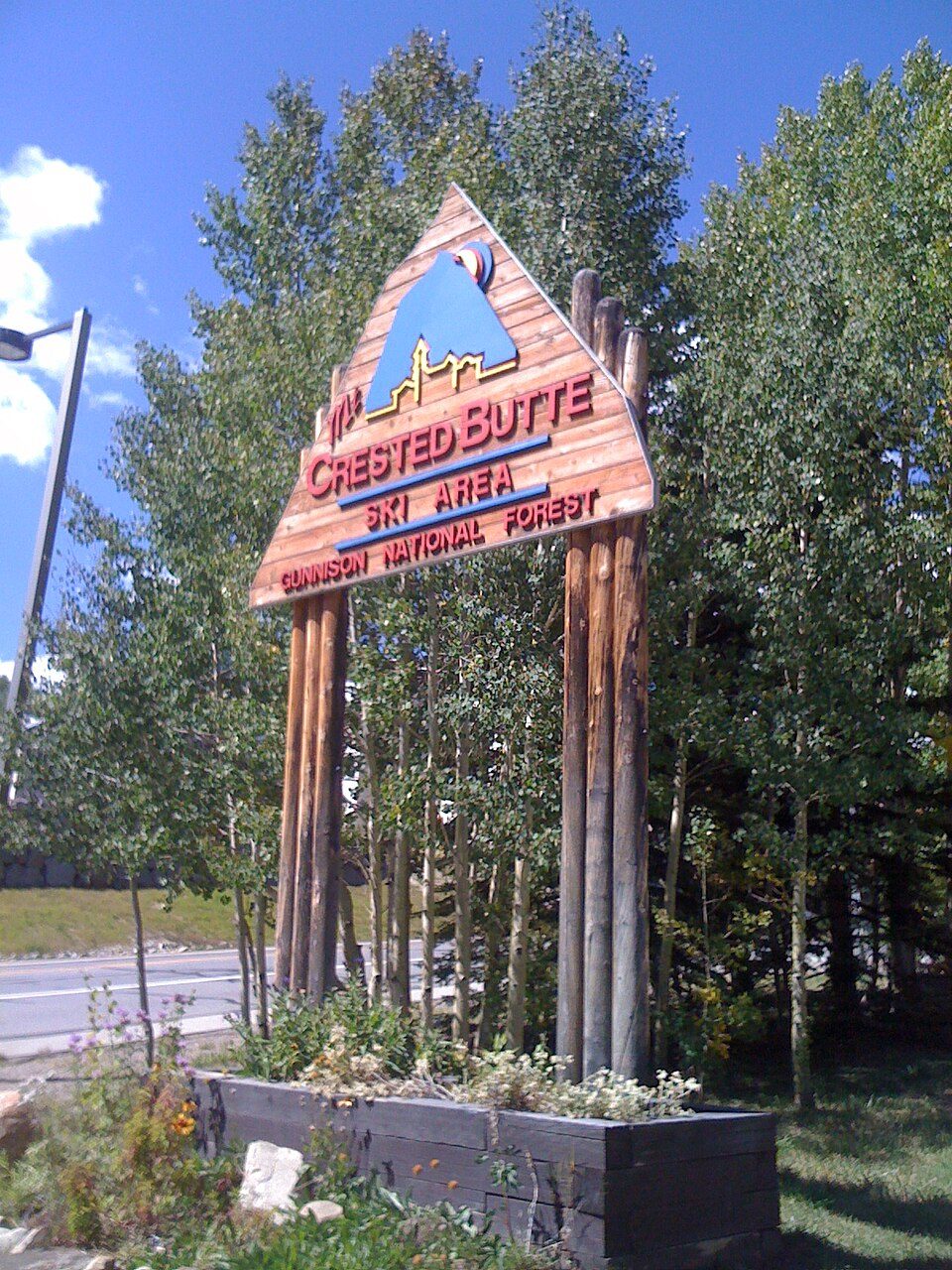 237 mi Ski areaCrested Butte Mountain Resort93 runs · 2,315 ft vertical55 mi Ski areaAspen Snowmass107 runs · 4,403 ft vertical
Photo credits
Mount Elbert: Hogs555 (talk · contribs), CC BY-SA 4.0 · Black Canyon of the Gunnison National Park: http://www.terraprints.com, CC BY 2.5 · Maroon Bells: Rhododendrites, CC BY-SA 4.0 · La Garita Caldera: en:User:G. Thomas, Public domain · Grand Mesa: DrunkDriver, CC BY-SA 3.0 · Aspen Mountain: Unknown, CC BY-SA 3.0 · Crested Butte Mountain Resort: Draconrex, CC BY-SA 3.0


The 2025 count: 807,117
Visits each year from 2016 to 2025.
Good to know about Curecanti
What town is Curecanti National Recreation Area near?
Gunnison, CO, about 14 miles northeast.
When is the best time to visit Curecanti National Recreation Area?
July and August, with highs of 79–82°. July is the busiest month (about 197,601 visitors).
How many people visit Curecanti National Recreation Area each year?
807,117 in 2025, according to the National Park Service. The record is 1,043,725, set in 2021.
What is the closest airport to Curecanti National Recreation Area?
Gunnison Crested Butte Regional (GUC), about 13 miles away. The nearest big hub is City of Colorado Springs Municipal (COS), about 135 miles.
Where should I stay near Curecanti National Recreation Area?
Inside the park: Lake Fork Campground, Elk Creek Campground and Blue Mesa Adventure Camping Pods. Nearby: Gunnison (14 mi, 26 places to stay), Lake City (32 mi, 27 places to stay) and Crested Butte (30 mi, 15 places to stay).
Questions for Gunnison
Questions and tips go in Gunnison’s Town Square.
Sources: National Park Service · ski areas © OpenSkiMap / OpenStreetMap contributors · Wikidata · Wikipedia readership · National Park Service visitor use statistics · NOAA climate normals · U.S. Census.