131 years in pictures
The archive holds 5 old photos and papers going back to 2008 and 3 maps from 1894 on.
1 place on the National Register of Historic Places.
- 1895Goldfield is settled
Each edition grades its towns against each other only.

A town of 160, settled in 1895.
Goldfield’s typical July afternoon high is 72°F, against 89°F in Colorado’s towns and 85°F across U.S. towns. Of the 160 Colorado towns we compare, none has a higher median age than Goldfield. Goldfield City Hall and Fire Station is on the National Register of Historic Places. Goldfield has fewer than 1,000 residents, too few for fair grades; the figures below are still real.
The archive holds 5 old photos and papers going back to 2008 and 3 maps from 1894 on.
1 place on the National Register of Historic Places.
In a town this size, neighbors are the best guide. Ask them anything.
Ordered by what stands out in Goldfield.
Goldfield’s FEMA hazard score is recorded as 79 of 100. FEMA puts 50% of the town’s expected hazard losses down to wildfires, and 26% to inland flooding.
FEMA National Risk Index · OpenFEMA
Expect July afternoons of 72° and January nights of 9°, with about 134 inches of snow a winter.
NOAA U.S. Climate Normals, 1991–2020
11% of adults have diabetes in Goldfield. Across all 26 CDC measures, Goldfield beats Colorado on 3 and trails on 11. Only 5 of the 160 Colorado towns we compare have a higher share of adults who have high blood pressure than Goldfield.
| Goldfield | Typical Colorado town | Typical U.S. town | |
|---|---|---|---|
| Frequent physical distress (CDC PLACES) | 15% | 12% | 14% |
| Yearly checkup (CDC PLACES) | 75% | 71% | 79% |
| High blood pressure (CDC PLACES) | 35% | 27% | 35% |
| Obesity (CDC PLACES) | 26% | 26% | 35% |
| What stands out | Goldfield | CO |
|---|---|---|
| Fewer uninsured adults | 8.2% | 11.1% |
| More adults treating high blood pressure | 74.9% | 69.5% |
| More adults with COPD | 8.3% | 5.3% |
CDC PLACES 2025 · modeled estimates for adults · CMS · HRSA
Museums, parks, gardens and other places to visit around Goldfield. Close and well known come first.
Big draw10 mi MountainPikes Peak
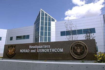
Big draw18 mi LandmarkNorth American Aerospace Defense Command
18 mi Park & preserveGarden of the Gods
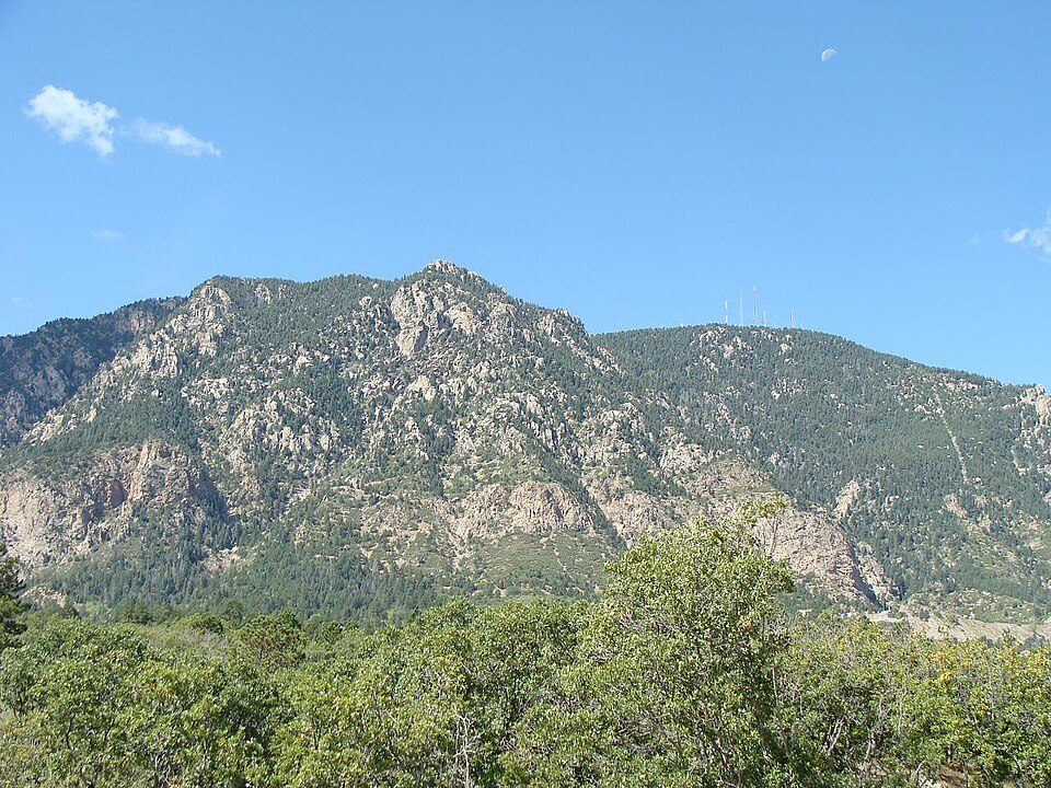
13 mi MountainCheyenne Mountain
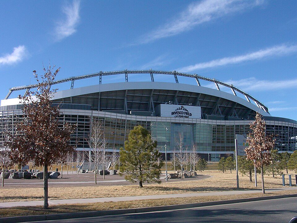
18 mi Stadium & arenaWeidner Field
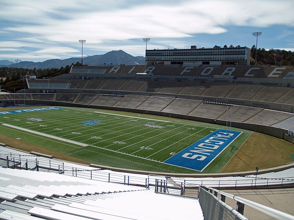
25 mi Stadium & arenaFalcon StadiumPikes Peak: David Shankbone, CC BY-SA 3.0 · North American Aerospace Defense Command: Unknown, Public domain · Garden of the Gods: Dicklyon, CC BY-SA 4.0 · Cheyenne Mountain: Jimmy from Grand Junction, CO, CC BY-SA 2.0 · Weidner Field: KM Newnham, CC BY-SA 2.5 · Falcon Stadium: David Shankbone, CC BY-SA 3.0
Goldfield is unincorporated, so Teller County and regional agencies provide most services.
EPA SDWIS (Oct 9, 2026) · HIFLD + EIA-861 2025 · Census 2020 ZCTAs · NCES 2024–25 · registration: vote.gov, updated Nov 18, 2024.
None within 15 miles of Goldfield; the nearest are
About 0 of every 100 Goldfield residents are enrolled in college, against 6 across Colorado.
Census-designated place in Teller County, CO, USA
Goldfield is an unincorporated community and a census-designated place (CDP) located in and governed by Teller County, Colorado, United States. The CDP is a part of the Colorado Springs, CO Metropolitan Statistical Area. The population of the Goldfield CDP was 63 at the United States Census 2020. The Cripple Creek post office (Zip Code 80813) serves the area.
From Wikipedia, licensed CC BY-SA 4.0 · facts via Wikidata (CC0)
Short answers, built from the data on this page.
Goldfield has fewer than 1,000 residents, too few for fair grades; the figures below are still real.
Ask a question, answer one, post a photo or an event. Free, and the parts only a neighbor would know are the parts worth reading.