Guest, Sign inJoin

Post to Eldorado Springs

We’ll email a one-tap link to publish your post. No password, and nothing is public until you click it.
Already a member? Sign in
Eldorado Springs, Colorado
Colorado›Boulder County

Eldorado SpringsCO

The town was settled in 1930 and has 320 residents today.

Photo: Jeffrey Beall · CC BY 3.0
Photo of Eldorado Springs

Eldorado Springs, CO · Photo: Jeffrey Beall · CC BY 3.0 · Source ↗

Is Eldorado Springs a good place to live?

83% of adults 25 and older hold a bachelor’s degree or more in Eldorado Springs, against 44% in Colorado’s towns and 29% across U.S. towns. Among 160 Colorado towns, just one has a higher home-ownership rate than Eldorado Springs. 74% of the land in Eldorado Springs is conserved, above both Colorado’s towns (6.9%) and U.S. towns (4.3%). The biggest place to walk is Eldorado Canyon State Park, 297 acres with 4.5 miles of trail. Eldorado Springs has fewer than 1,000 residents, too few for fair grades; the figures below are still real.

Small town

320 people, and everyone knows the way

In a town this size, neighbors are the best guide. Ask them anything.

Nearby towns
Swimming pool Eldorado Springs Colo
Swimming pool Eldorado Springs Colo, 1900
Eldorado Springs’s story

96 years in pictures

Census counts: 557 in 2000, 559 in 2020. The archive holds 6 old photos and papers going back to 1900 and 4 maps from 1906 on.

  • 1930Eldorado Springs is settled
Explore the history →
Nearby attractions

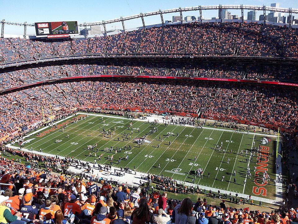
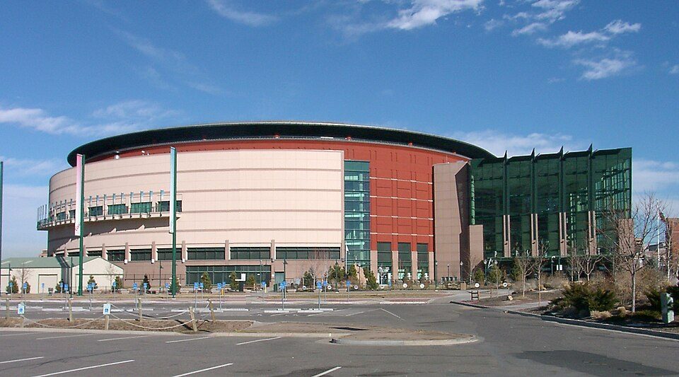
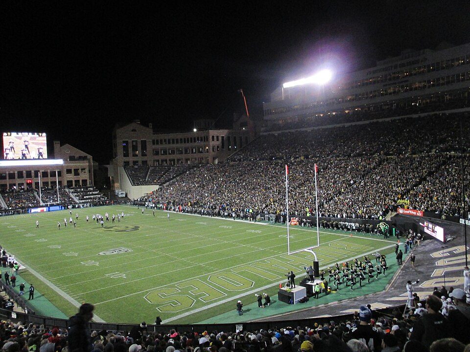
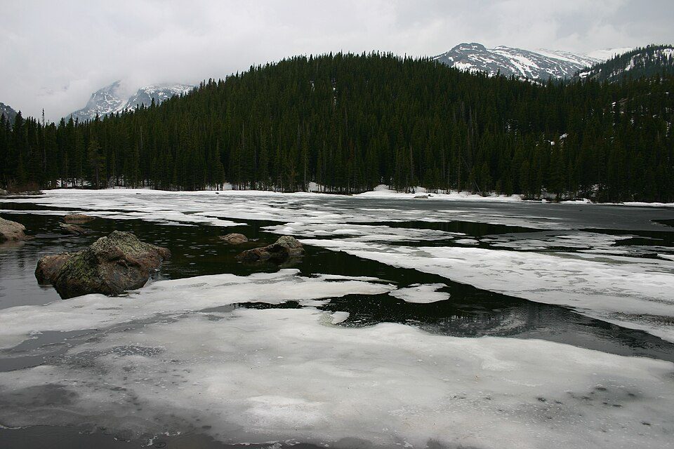
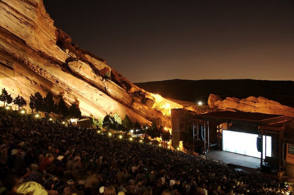
Red Rocks Amphitheatre and 67 more within 40 miles

Museums, parks, gardens and other places to visit around Eldorado Springs. Close and well known come first.

All 75 attractions →
Sources: National Park Service · ski areas © OpenSkiMap / OpenStreetMap contributors · Wikidata · Wikipedia readership · photos via Wikimedia Commons
Photo credits

Red Rocks Amphitheatre: Unknown, CC BY-SA 3.0 · Empower Field at Mile High: Thelastcanadian, CC BY-SA 3.0 · Ball Arena: KM Newnham, CC BY-SA 2.5 · Coors Field: Matt Kozlowski, CC BY-SA 3.0 · Folsom Field: Thelastcanadian, CC BY-SA 4.0 · Rocky Mountain National Park: Charles M. Sauer -- Charlessauer, CC BY-SA 3.0

Getting set up

Moving to Eldorado Springs: who provides what

Eldorado Springs is unincorporated, so Boulder County and regional agencies provide most services.

PowerXcel Energy15.9¢/kWh · EIA 2025HIFLD · EIA
WaterEldorado Municipal SystemNo health-based violations in 5 years · EPAEPA
Internet7 providers98% of addresses get 100/20 MbpsFCC
Trash & county servicesBoulder CountyBoulder County provides services here
SchoolsBoulder Valley School District RE-2Which school depends on your addressNCES
Register to voteOnlineIn Colorado you can register online until 8 days before Election Day, in person up to and including Election Day, or by mail (postmarked 8 days before).vote.gov
Who runs elections hereBoulder County Clerk and Recorder, Elections DivisionBoulder County; contacts on the Handbook page.FVAP, Sep 2025
ZIP codes80303, 80025, 8030580303 45% · 80025 38% · 80305 18%Census 2020

EPA SDWIS (Oct 9, 2026) · HIFLD + EIA-861 2025 · Census 2020 ZCTAs · NCES 2024–25 · registration: vote.gov, updated Nov 18, 2024.

The data

Ordered by what stands out in Eldorado Springs.

Outdoors

Eldorado Springs has set aside nearly a third of its land for conservation

The trail network density for Eldorado Springs is 3.9 miles per square mile. There are 10 miles of trail across 1 park or preserve.

74.4%conserved
74.4%
conserved · 1,222 of 1,643 acres
10 mi
of trails · 3.9 per sq mi
Biggest places to walkTrailsAcres
1. Eldorado Canyon State Park4.5 mi297

Trails & parks © OpenStreetMap contributors · Conserved land: USGS PAD-US

Natural hazards

The biggest natural risk in Eldorado Springs is avalanches, at a very high overall level

Compared with 84% of U.S. communities, expected storm and flood damage in Eldorado Springs is higher. FEMA puts just over two fifths of the town’s expected hazard losses down to avalanches, and 30% to inland flooding. Federal disaster aid has reached households in Eldorado Springs once, in 2013.

84risk score of 100
FEMA risk score
84Very high riskLowerHigher
AvalanchesInland floodingWildfire
1
federal disasters paid out here

FEMA disaster declarations and aid · FEMA National Risk Index · OpenFEMA

Work & commute

About half of Eldorado Springs’ working residents commute to Boulder

The top destinations are Boulder (47%), Denver (8%) and Broomfield (6%). Eldorado Springs’ average trip to work is 29 minutes. The median commute is under 7 miles.

0%work in town
Eldorado SpringsTypical Colorado townTypical U.S. town
Average trip to work29 minutes25 minutes25 minutes
Below the poverty line9.1%8.4%9.6%

Where working residents work

In Eldorado Springs0%
Boulder47%
Denver8%
Broomfield6%
Lakewood3%
7 mi
median commute distance
97
jobs based in Eldorado Springs
A commuter town
jobs vs. working residents

Census LEHD 2023 · ACS

Climate

Snowy winters and pleasant summers: that is Eldorado Springs’ year

About 93 inches of snow fall in a winter here; January nights dip to 19° and July afternoons rise to 87°.

93″snow a winter

Typical low → high °F

Winter19–46°
Spring34–62°
Summer53–84°
Fall36–65°
Oct 5
typical first frost
May 6
typical last frost
+1.1°
vs. the 20th-century average

NOAA U.S. Climate Normals, 1991–2020

Health

Compared with most of Colorado and the rest of the country, fewer of Eldorado Springs’ adults report frequent mental distress

For adults in Eldorado Springs, the share who sleep under 7 hours is 22%. Only 5 of the 160 Colorado towns we compare have a lower share of adults who say their health is fair or poor than Eldorado Springs. Of 26 CDC measures, Eldorado Springs beats the Colorado average on 16 and trails it on 2.

Eldorado SpringsTypical Colorado townTypical U.S. town
Obesity (CDC PLACES)16%26%35%
Frequent mental distress (CDC PLACES)11%16%17%
Sleep under 7 hours (CDC PLACES)22%30%36%
Get no exercise (CDC PLACES)9%16%25%
26 measures vs. Colorado
16 better8 too close to call2 worse
What stands outEldorado SpringsCO
Fewer older adults who have lost all their teeth3.2%9.2%
Fewer uninsured adults4.2%11.1%
More adults who have had cancer11.6%7.8%
Boulder Community Health
7.7 mi away · emergency room
1 of 3
care shortages: mental health

CDC PLACES 2025 · modeled estimates for adults · CMS · HRSA

0
homes sold in September

Zillow Home Value Index · Redfin Data Center

Keep exploring

Everything we know about Eldorado Springs

16pages on Eldorado Springs
After high school

Colleges nearby

5 within 15 miles of the center of Eldorado Springs

A commuter town

100% of working residents leave Eldorado Springs for work

Where Eldorado Springs’s working residents go each day. Line width shows the share.

47% → Boulder Boulder 47% 8% → Denver Denver 8% 6% → Broomfield Broomfield 6% 3% → Lakewood Lakewood 3% 3% → Louisville Louisville 3% 2% → Westminster Westminster 2% Eldorado Springs · 0% stay
97jobs based in Eldorado Springs
0%of working residents work in town
7 mimedian commute distance

Census LEHD 2023

About Eldorado Springs

Census-designated place in Boulder County, Colorado, United States

Eldorado Springs is an unincorporated community, a census-designated place (CDP), and a post office located in and governed by Boulder County, Colorado, United States. The CDP is a part of the Boulder, CO Metropolitan Statistical Area. The Eldorado Springs post office has the ZIP code 80025 (post office boxes). At the 2020 United States census, the population of the Eldorado Springs CDP was 559. Eldorado Canyon State Park, adjacent and upstream, is famous for its classic North-American climbing routes.

From Wikipedia, licensed CC BY-SA 4.0 · facts via Wikidata (CC0)

Area
2.6 sq mi
Elevation
5,732 ft
ZIP code
80025
Area code
303

Questions about Eldorado Springs

Short answers, built from the data on this page.

Is Eldorado Springs, CO a good place to live?

Eldorado Springs has fewer than 1,000 residents, too few for fair grades; the figures below are still real.