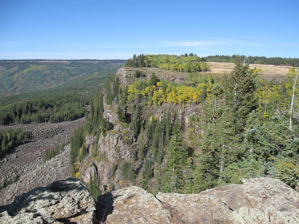
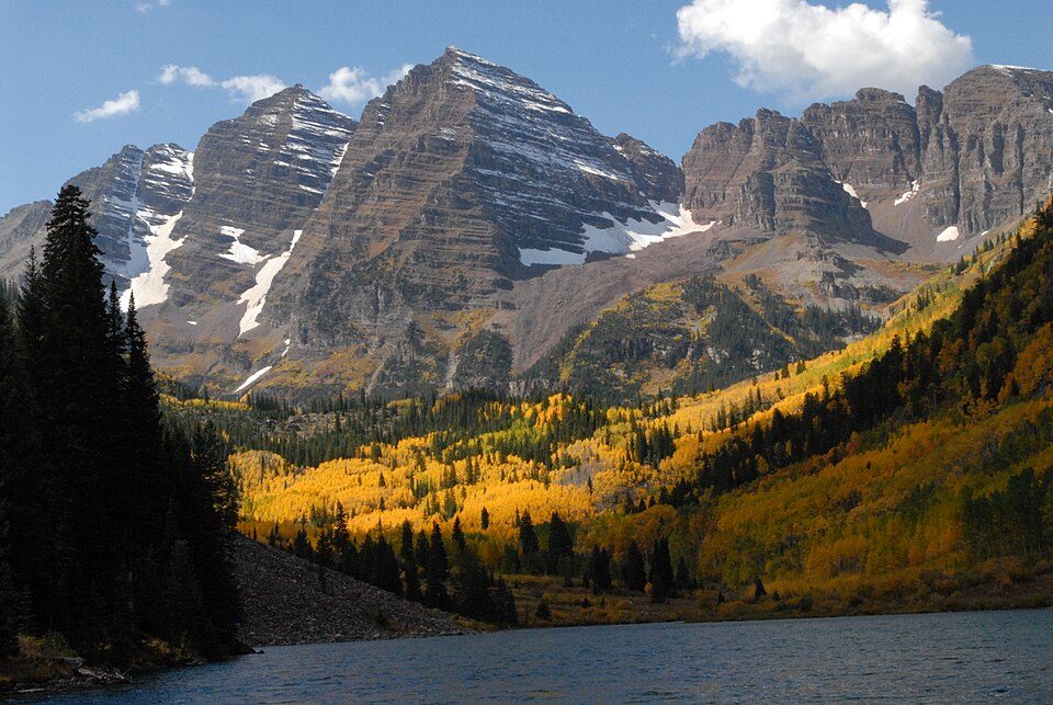
Chacra in pictures
The archive holds 1 old photo or paper going back to 2017 and 2 maps from 1962 on.
1 place on the National Register of Historic Places.
Explore the history →Each edition grades its towns against each other only.
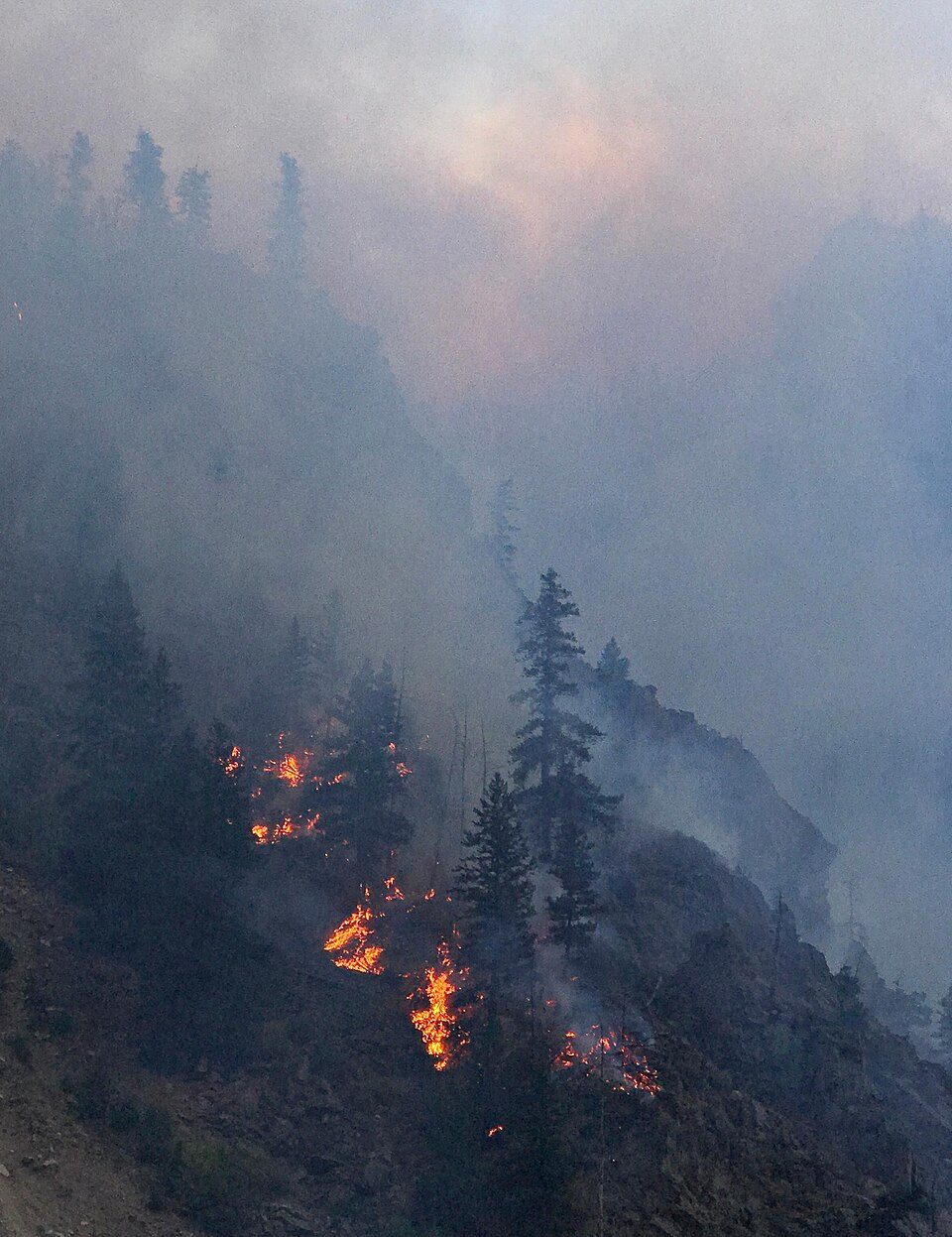
The town, home to 457 people, lies in Colorado.
22% of residents live below the poverty line in Chacra, against 8.4% in Colorado’s towns and 9.6% across U.S. towns. Only 6 of the 160 Colorado towns we compare have a higher midpoint age than Chacra. South Canon Bridge is on the National Register of Historic Places. Chacra has fewer than 1,000 residents, too few for fair grades; the figures below are still real.
The archive holds 1 old photo or paper going back to 2017 and 2 maps from 1962 on.
1 place on the National Register of Historic Places.
Explore the history →In a town this size, neighbors are the best guide. Ask them anything.
Ordered by what stands out in Chacra.
The median commute is under 27 miles. Chacra had 30 jobs in 2023, down 40 from 2013. The mean commuting time here is 28 minutes. The top destinations are Glenwood Springs (29%), Denver (7%) and Aspen (5%).
Census LEHD 2023 · ACS
In Chacra, 41% of adults 25 and older hold a bachelor’s degree or more. Adults 35 to 64 are 51% of residents (39% statewide); children under 18 are 9% of residents (21% statewide).
Somewhere between 43% and 70% women
The Census survey reached too few of Chacra’s residents to say more: its margin here is ±13.6 points. Across Colorado, 49.3% of residents are women.
| Chacra | CO | U.S. | |
|---|---|---|---|
| Under 10 | 5.9% | 10.9% | 11.6% |
| 10 to 17 | 2.8% | 10.1% | 10.3% |
| 18 to 24 | 0% | 9.1% | 9.1% |
| 25 to 34 | 17.3% | 15.7% | 13.7% |
| 35 to 44 | 10.9% | 14.6% | 13.2% |
| 45 to 54 | 25.8% | 12.2% | 12.2% |
| 55 to 64 | 14.2% | 11.8% | 12.7% |
| 65 to 74 | 7.4% | 9.6% | 10.2% |
| 75 and older | 15.5% | 5.9% | 7% |
| No diploma | 12.2% | 7.1% | 10.4% |
| High school | 5% | 19.7% | 26% |
| Some college | 33.8% | 19.2% | 19.1% |
| Associate’s | 8.4% | 8.3% | 8.8% |
| Bachelor’s | 23.5% | 28.1% | 21.6% |
| Graduate | 17% | 17.6% | 14.1% |
U.S. Census Bureau · ACS 2020-2024 5-year estimates · in a town of 500, single groups can be off by several points
Of the losses FEMA expects in Chacra, 41% come from inland flooding and 41% from avalanches. Storm and flood damage is expected to run higher than in 69% of U.S. communities.
FEMA National Risk Index · OpenFEMA
The seasons in Chacra: cold, snowy winters, warm summers, with very little rain. Summer afternoons peak near 88° in July, and January nights bottom out around 14°; snowfall runs to about 39 inches a winter.
NOAA U.S. Climate Normals, 1991–2020
30% of Chacra adults have high blood pressure. In Chacra, 15% of adults report frequent physical distress, and 25% have obesity.
| Chacra | Colorado towns | U.S. towns | |
|---|---|---|---|
| Sleep under 7 hours (CDC PLACES) | 27% | 30% | 36% |
| Frequent physical distress (CDC PLACES) | 15% | 12% | 14% |
| Obesity (CDC PLACES) | 25% | 26% | 35% |
| Yearly checkup (CDC PLACES) | 74% | 71% | 79% |
| What stands out | Chacra | CO |
|---|---|---|
| More adults with COPD | 7.7% | 5.3% |
| More smokers | 14.3% | 10.9% |
| More older adults who have lost all their teeth | 12% | 9.2% |
CDC PLACES 2025 · modeled estimates for adults · CMS · HRSA
Chacra’s trail density stands at 1.0 miles per square mile.
| Chacra | Colorado towns | U.S. towns | |
|---|---|---|---|
| Miles of trail per square mile | 1.0 miles per square mile | 1.3 | 0.4 |
| Conserved land | 5% | 6.9% | 4.3% |
Trails & parks © OpenStreetMap contributors · Conserved land: USGS PAD-US
The share of households in Chacra who are owner-occupiers: 79%.
Census ACS, 2020–24 · Zillow Home Value Index · Redfin Data Center
Museums, parks, gardens and other places to visit around Chacra. Close and well known come first.
12 mi Canyon & gorgeGlenwood Canyon
40 mi MountainGrand Mesa38 mi Ski areaAspen Snowmass107 runs · 4,403 ft vertical
30 mi National forestWhite River National Forest14 mi Ski areaSunlight Mountain Resort67 runs · 1,924 ft verticalGlenwood Canyon: White River National Forest U.S. Forest Service, Public domain · Grand Mesa: DrunkDriver, CC BY-SA 3.0 · White River National Forest: U.S. Department of Agriculture, Public domain
Chacra is unincorporated, so Garfield County and regional agencies provide most services.
EPA SDWIS (Oct 9, 2026) · HIFLD + EIA-861 2025 · Census 2020 ZCTAs · NCES 2024–25 · registration: vote.gov, updated Nov 18, 2024.
Where Chacra’s working residents go each day. Line width shows the share.
Census LEHD 2023
1 within 15 miles of the center of Chacra
About 0 of every 100 Chacra residents are enrolled in college, against 6 across Colorado.
Unincorporated community in Colorado, US
Chacra is an unincorporated community and a census-designated place (CDP) located in Garfield County, Colorado, United States. The unincorporated community is a part of the Rifle, CO Micropolitan Statistical Area and the Edwards-Rifle, CO Combined Statistical Area. The population of the Chacra CDP was 331 at the United States Census 2020.
From Wikipedia, licensed CC BY-SA 4.0 · facts via Wikidata (CC0)
Short answers, built from the data on this page.
Chacra has fewer than 1,000 residents, too few for fair grades; the figures below are still real.
Ask a question, answer one, post a photo or an event. Free, and the parts only a neighbor would know are the parts worth reading.