Black Forest in pictures
Census counts: 3,372 in 1980, 15,097 in 2020. The archive holds 2 old photos and papers going back to 2008 and 4 maps from 1940 on.
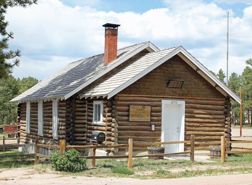
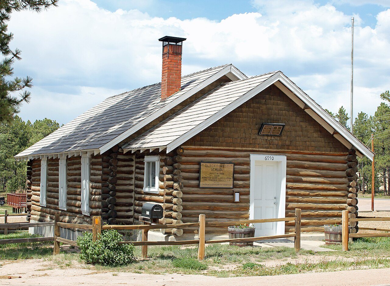
4 places on the National Register of Historic Places.
Explore the history →Each edition grades its towns against each other only.

A town of 15,738.
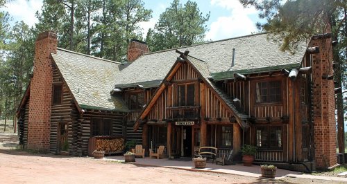
For most people who can afford it, yes. Black Forest grades B overall, 71st of 158 graded towns in Colorado. CDC estimates put its residents' health ahead of 94% of the country. Its schools outperform 78% of the state's. The catch is cost: the typical home is worth about $856K, 9.5 years of the Colorado Springs metro’s $90K median household income. Black Forest’s median household income is $145,000, above both Colorado’s towns ($95,000) and U.S. towns ($80,000). Black Forest has 4 places on the National Register of Historic Places, among them Black Forest School and Taylor Memorial Chapel. Among 159 Colorado towns, just 6 have a higher share of households owning their home than Black Forest.
Where Black Forest beats most towns.
13,116 counted in 2010 and 15,097 in 2020.
U.S. Census 2010 & 2020 counts
Each subject compared with towns across the country (schools within Colorado), ordered by how far Black Forest is from typical.
How TownRatings grades towns →
Census counts: 3,372 in 1980, 15,097 in 2020. The archive holds 2 old photos and papers going back to 2008 and 4 maps from 1940 on.
4 places on the National Register of Historic Places.
Explore the history →Museums, parks, gardens and other places to visit around Black Forest. Close and well known come first.
Big draw25 mi MountainPikes Peak
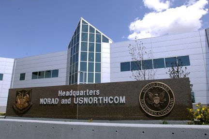
Big draw26 mi LandmarkNorth American Aerospace Defense Command
16 mi Park & preserveGarden of the Gods
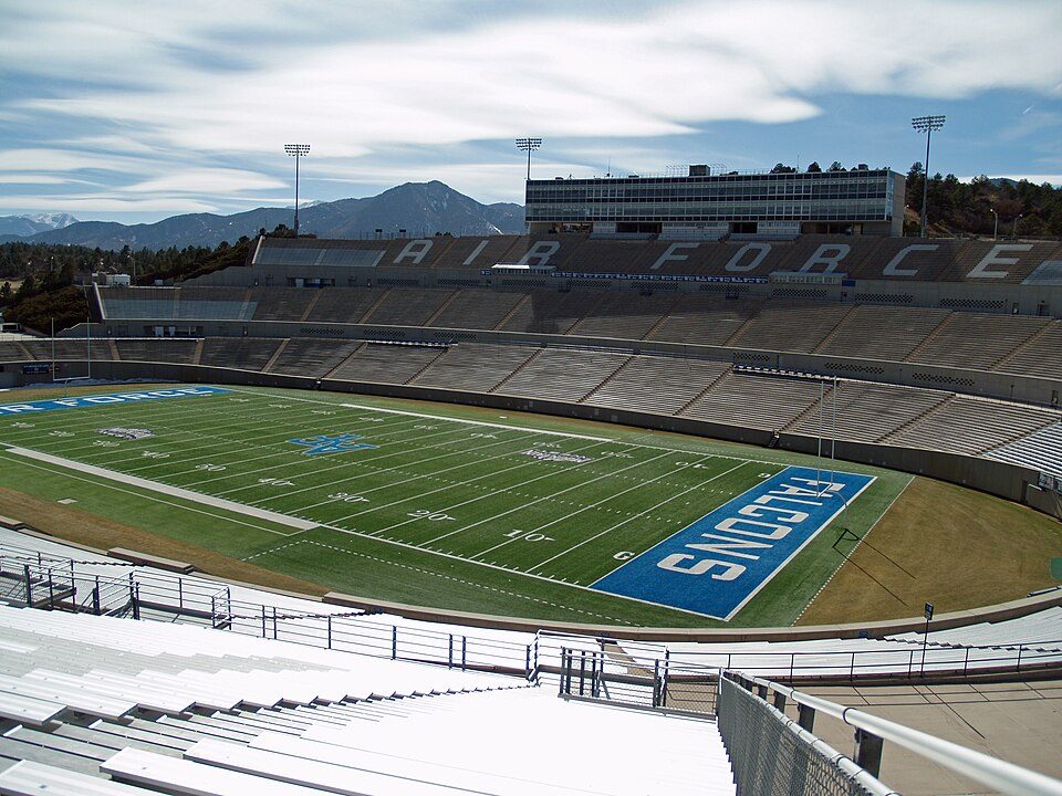
10 mi Stadium & arenaFalcon Stadium
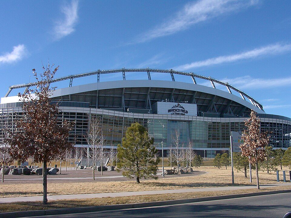
18 mi Stadium & arenaWeidner Field
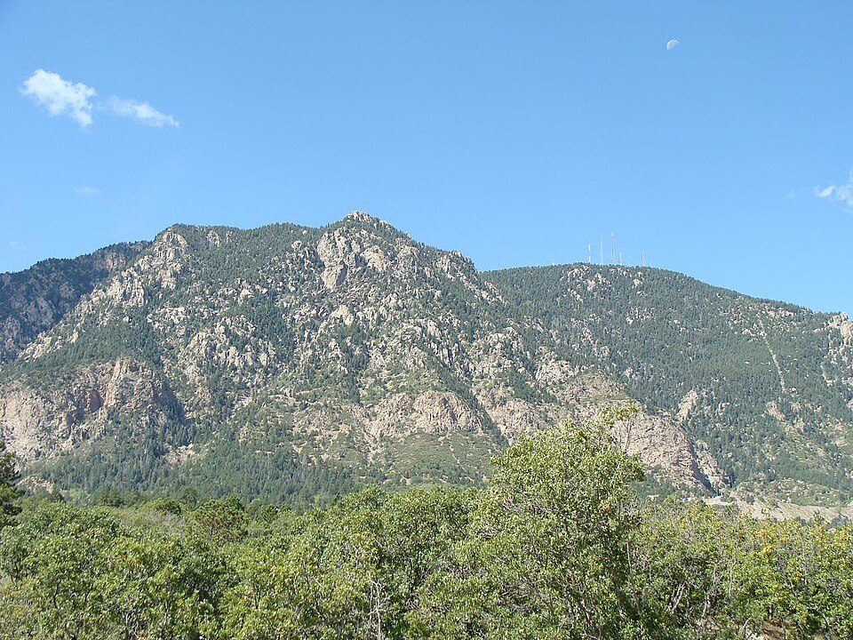
25 mi MountainCheyenne MountainPikes Peak: David Shankbone, CC BY-SA 3.0 · North American Aerospace Defense Command: Unknown, Public domain · Garden of the Gods: Dicklyon, CC BY-SA 4.0 · Falcon Stadium: David Shankbone, CC BY-SA 3.0 · Weidner Field: KM Newnham, CC BY-SA 2.5 · Cheyenne Mountain: Jimmy from Grand Junction, CO, CC BY-SA 2.0
Black Forest is unincorporated, so El Paso County and regional agencies provide most services.
EPA SDWIS (Oct 9, 2026) · HIFLD + EIA-861 2025 · Census 2020 ZCTAs · NCES 2024–25 · registration: vote.gov, updated Nov 18, 2024.
Ordered by what stands out in Black Forest.
Black Forest gets more snow than nearly all U.S. towns and has less no health insurance than most of Colorado, but it carries more natural-hazard risk than most of Colorado (mostly wildfires).
Its widest gap with Colorado is no health insurance: 5.1% of those 18–64 have no health insurance, against 11.1% statewide. Within Colorado it is healthier than 68% of the 159 graded towns: Colorado sets a high bar.
8.6% of Black Forest adults smoke cigarettes. Black Forest beats the Colorado average on 10 of 26 CDC measures and trails it on 4. 15% of Black Forest adults report frequent mental distress.
| Black Forest | Colorado towns | U.S. towns | |
|---|---|---|---|
| Smoke cigarettes (CDC PLACES) | 8.6% | 11% | 14% |
| Frequent mental distress (CDC PLACES) | 15% | 16% | 17% |
| Get no exercise (CDC PLACES) | 15% | 16% | 25% |
| Binge drink (CDC PLACES) | 15% | 18% | 16% |
| What stands out | Black Forest | CO |
|---|---|---|
| Fewer uninsured adults | 5.1% | 11.1% |
| Fewer older adults who have lost all their teeth | 6.4% | 9.2% |
| More adults who have had cancer | 10.8% | 7.8% |
CDC PLACES 2025 · modeled estimates for adults · CMS · HRSA
Its public schools are run by Lewis-Palmer Consolidated School District No. 38 in the co. The largest public high school is Monument Charter Academy Secondary School, with 541 students.
| School | Level | Students | Letter |
|---|---|---|---|
| Edith Wolford Elementary SchoolLargest public elementary schoolGrades PK–5 | Grades PK–5 | 372 | B+ |
| Monument Charter Academy Secondary SchoolLargest public high schoolGrades 6–12 | Grades 6–12 | 541 | B− |
| Ray E Kilmer Elementary SchoolTop results in townGrades PK–6 | Grades PK–6 | 300 | A |
NCES · EDFacts · graded within CO on state tests and graduation
FEMA rates its natural-hazard risk higher than 86% of Colorado towns, with expected losses of about $708 per resident a year; that rating is what its D for hazard risk is built on.
Black Forest’s FEMA risk score is 81 of 100.
FEMA National Risk Index · OpenFEMA
Black Forest has 1,836 jobs for its 6,247 working residents: even if every job went to a resident, most would still commute out.
Most working residents leave Black Forest for work: only 4% work in town. 29% of workers work from home in Black Forest. Since 2013, Black Forest has lost 342 jobs, to 1,836 in 2023.
| Black Forest | Colorado towns | U.S. towns | |
|---|---|---|---|
| Work from home | 29% | 18% | 11% |
| Average trip to work | 30 minutes | 25 minutes | 25 minutes |
| Below the poverty line | 5% | 8.5% | 9.6% |
| Working residents who work in town | 3.9% | 7.8% | 8% |
Census LEHD 2023 · ACS
The Monument weather station, 10 miles away, records that 121 inches of snow fall in a normal winter, more than in 99% of U.S. towns.
Black Forest has chilly, snowy winters and pleasant summers, with very little rain. The July high in Black Forest is 81°F.
NOAA U.S. Climate Normals, 1991–2020
31 miles of trail in 2 parks and preserves. The biggest park or preserve is Winsome Open Space, at 175 acres.
| Black Forest | Colorado towns | U.S. towns | |
|---|---|---|---|
| Miles of trail per square mile | 0.3 miles per square mile | 1.3 | 0.4 |
| Conserved land | 4.2% | 7% | 4.3% |
| Biggest places to walk | Trails | Acres |
|---|---|---|
| 1. Winsome Open Space | 0.8 mi | 175 |
| 2. Wildwood Village Park | — | 17 |
Trails & parks © OpenStreetMap contributors · Conserved land: USGS PAD-US
2 within 15 miles of the center of Black Forest
About 5 of every 100 Black Forest residents are enrolled in college, about the same as Colorado.
Where Black Forest’s working residents go each day. Line width shows the share.
Census LEHD 2023
4 places in Black Forest on the National Register of Historic Places.
Census-designated place in Colorado, US
Black Forest is an unincorporated community and a census-designated place (CDP) located in El Paso County, Colorado, United States. The CDP is a part of the Colorado Springs, CO Metropolitan Statistical Area. The population of the Black Forest CDP was 15,097 at the United States Census 2020. Both the Colorado Springs post office (Zip Code 80908) and the Elbert post office (Zip Code 80106) serve the area. The Black Forest is named for a dense stand of Ponderosa Pine in the area. In 2006, residents voted against a proposal to incorporate as a city.
From Wikipedia, licensed CC BY-SA 4.0 · facts via Wikidata (CC0)
One town shares a border with Black Forest.
| Town | CO rank | Overall | Cost | Safety | Schools | Health |
|---|---|---|---|---|---|---|
| Black Forest | #71 | B | C− | — | A− | A |
| Colorado Springs | #138 | C− | C | D | C | A− |
Black Forest reports no FBI crime data of its own. Compare Black Forest with a neighbor →
Short answers, built from the data on this page.
For most people who can afford it, yes. Black Forest grades B overall, better than 63% of U.S. towns and #71 of 158 in Colorado. It grades A for health and A− for schools. Hazard risk is its weak spot, with a D.
Yes. Cost of living, which also weighs rents, property taxes and how many households pay 30% or more of their income for housing, grades C−.