 Top
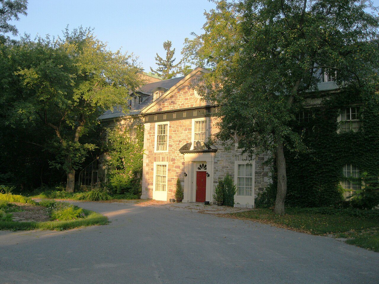
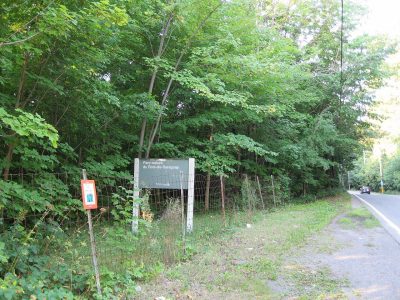
Declared heritage site (Québec)Bois-de-Saraguay Heritage Siteboulevard Gouin OuestPhoto: Jeangagnon · CC BY-SA 3.0 · Commons file
 Bois-de-Saraguay Heritage Site · Photo: Jeangagnon · CC BY-SA 3.0
2historic places on the registers
History of Cartierville · Canada’s heritage registers
Cartierville has 2 historic places on the registers, one in the top tier
On the list: a municipal citation. Maison Mary-Dorothy-Molson, begun in 1930, is the oldest by its record. Per resident Cartierville has more than 78% of Canadian towns: 0.8 for every 10,000 people. The typical town has 18% of its homes from before 1961; here it is 31%.
Historic places
2
0.8 per 10,000 residents
Highest designations
1
National Historic Sites, classified federal buildings and Québec’s classements
Provincial and local listings
1
municipal citations on Québec’s register
Oldest building
1930
the first construction date on its record
Homes built before 1961
31%
typical town: 18%
In pictures
Cartierville’s historic places in 2 photos
Bois-de-Saraguay Heritage Site and Maison Mary-Dorothy-Molson lead the set. Both places on Cartierville’s registers have a photo here.
Photos from Wikimedia Commons, each credited to its photographer with its licence; names open the place’s page. Tap a photo to step through them full screen.
The map
Where Cartierville’s history is
Every place on the registers inside the town, by its designation.
Highest designationsProvincial and local listings
Dots open their places’ pages; hover first to read the name.
The 2, by tier
1 Highest designations1 Provincial and local listings
In Québec the record is fuller than elsewhere: beside Parks Canada’s designations, the province’s register lists its classements and every municipal citation.
Points from Wikidata (Parks Canada’s files carry none) and from Québec’s register, as mapped there.
Highest designations
One place in Cartierville with the highest designation
National Historic Sites and Classified Federal Heritage Buildings, Canada’s highest federal recognition. Each one opens its own page.
Provincial and local listings
One local listing in Cartierville
Citations the municipality has made, registered with Québec’s ministry of culture. Each one opens its own page.
 Local
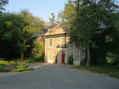
Municipal citation (Québec) · 1930Maison Mary-Dorothy-Molson9095 boulevard Gouin OuestPhoto: Jeangagnon · CC BY-SA 3.0 · Commons file
Around the town
The registers find 3 places within 5 km of Cartierville
By age, Maison Robert-Bélanger leads, from 1803, at 2.8 km. Closest of all is Croix de chemin en pierre du Haut-du-Sault, in Nouveau-Bordeaux, 2.3 km off. Nouveau-Bordeaux, Bois-Francs and Chameran/Montpellier hold most of them, among 3 towns.
The 3 nearest, within 5 km
| Croix de chemin en pierre du Haut-du-SaultMunicipal citation (Québec) · 1874 · 2.3 km away, in Nouveau-Bordeaux |
| Maison Robert-BélangerMunicipal citation (Québec) · 1803–1806 · 2.8 km away, in Bois-Francs |
| Église de Saint-Laurent de MontréalMunicipal citation (Québec) · 1835–1837 · 3.7 km away, in Chameran/Montpellier |
Homes by age
Cartierville added few homes from 2016 to 2021: 0.8%, where most towns have 4.1%
Over half of the homes in Cartierville were already standing by 1981. The largest single period is from 1961 to 1980, with 36% of Cartierville’s homes. Few of Cartierville’s homes date from 2001 to 2015: 9.9%, the norm 15%.
31%
Before 1961
36%
1961–80
21%
1981–2000
9.9%
2001–15
0.8%
2016–21
CartiervilleTypical town
2021 Census, private dwellings by period of construction (Statistics Canada); the typical town is the middle Canadian town of 2,500 or more.
Towns its size
Cartierville has the 2nd most of 16 towns its size
Towns of 24,100 to 25,100 residents, by places on the registers.
Cartierville2
Just one has more: Mile End. The typical town its size has 1. 7 of them have nothing on the registers.
Neighbours
Cartierville and its neighbours
| Town | People | Places | Highest | Oldest |
|---|---|---|---|---|
| Cartierville | 24,617 | 2 | 1 | 1930 |
| Grenet | 12,580 | 0 | 0 | — |
| Bois-Francs | 35,858 | 1 | 0 | 1803 |
| Nouveau-Bordeaux | 30,171 | 1 | 0 | 1874 |
| Dutrisac | 10,643 | 0 | 0 | — |
| Chomedey | 81,813 | 0 | 0 | — |
| Chameran/Montpellier | 21,170 | 1 | 0 | 1835 |
In brief
Cartierville in brief
Cartierville has 31% of its homes from before 1961, against 18% in the typical town. There are 2 historic places in all, one with the highest designation; Bois-de-Saraguay Heritage Site heads them. Of the 16 towns closest in size, just one has more historic places. The other figures are unremarkable: the list grew between 1981 and 2009.
How to read these numbers
What this data can and can’t tell you
- The grade. There is no history grade: the page sets out the record and compares it with other towns.
- Protection. In Québec, a classement or a municipal citation under the Loi sur le patrimoine culturel protects the building in law; a federal designation recognises significance and binds only federal owners.
- The tiers. Tiers follow the designation: national recognition and classement first, other federal designations next, provincial and local listings last.
- The federal register. Every federal designation is in Parks Canada’s directory, and the Canadian Register of Historic Places gives most of them a bilingual statement of significance.
- Québec’s register. The Répertoire du patrimoine culturel du Québec is open data, so the province’s own designations and its municipalities’ citations are here in full.
- People and events. Parks Canada’s open file gives its national historic persons no place. A town’s page names one only when the person was born there (matched by name and both life years) or one of its own historic places carries the name and its record speaks of them; national historic events stay off.
Questions about Cartierville’s history
Which places in Cartierville have the highest designation?
Bois-de-Saraguay Heritage Site.
How old are the homes in Cartierville?
The 2021 Census dates 31% of its homes before 1961 (18% in the typical town).
What is the oldest building in Cartierville?
Maison Mary-Dorothy-Molson, a Municipal citation (Québec), begun in 1930.
Contains information licensed under the Open Government Licence – Canada (Parks Canada). Québec register data: Ministère de la Culture et des Communications du Québec, CC BY 4.0.
Sources: Parks Canada, Directory of Federal Heritage Designations · Canadian Register of Historic Places (federal extract) · Répertoire du patrimoine culturel du Québec (MCC, Données Québec) · Wikidata (CC0) for map points, other names and articles · Statistics Canada, 2021 Census (homes by period of construction). Under the Statistics Canada Open Licence.
Adapted from Statistics Canada (Census of Population 2021, population estimates 2025, 2021 census boundaries) under the Statistics Canada Open Licence; this does not constitute an endorsement by Statistics Canada. Neighbourhood names in some cities © OpenStreetMap contributors (ODbL).