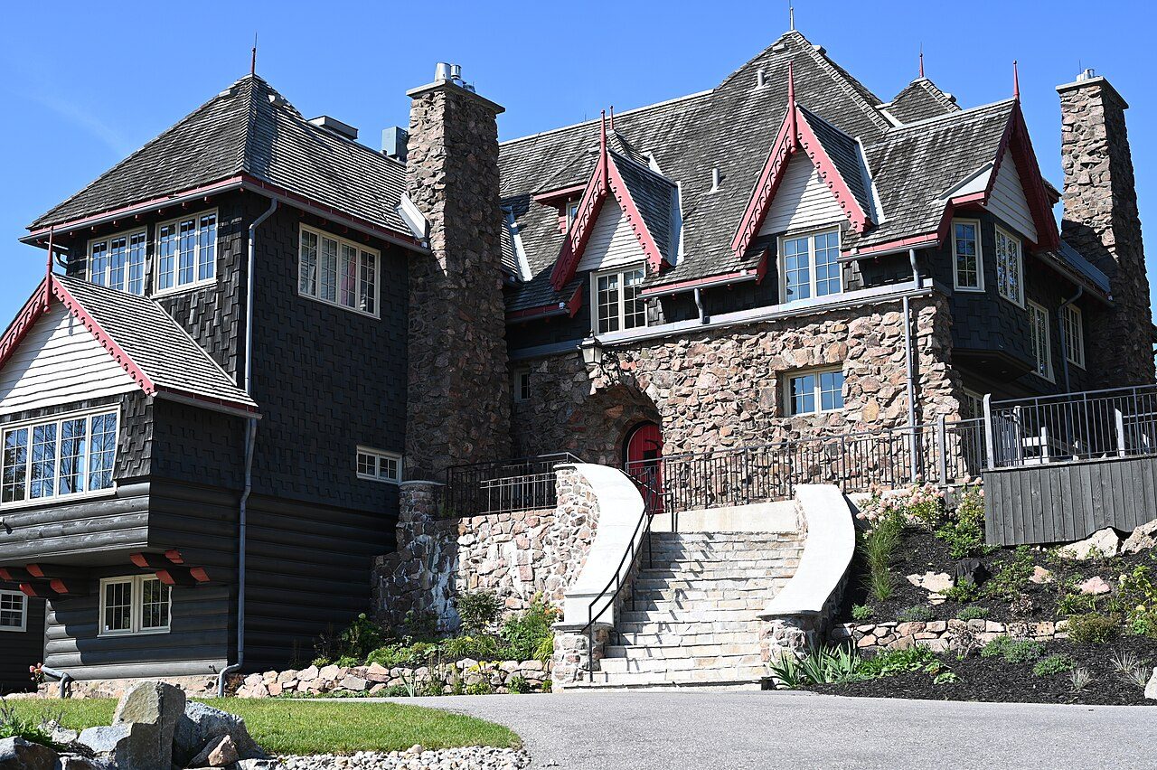
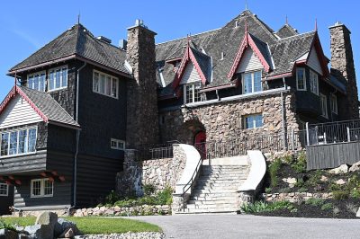
O'Brien House · Photo: J.P. Labonte · CC BY-SA 4.0
12historic places on the registers
History of Chelsea · Canada’s heritage registers
6 top designations among Chelsea’s 12 historic places
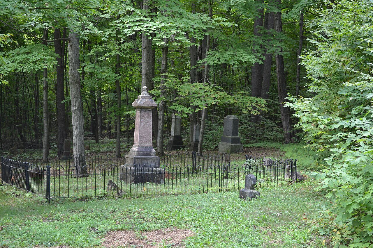
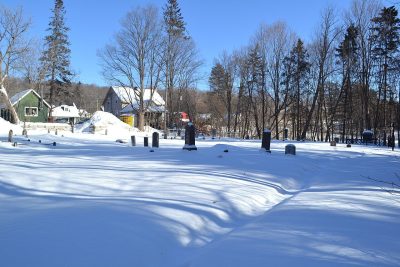
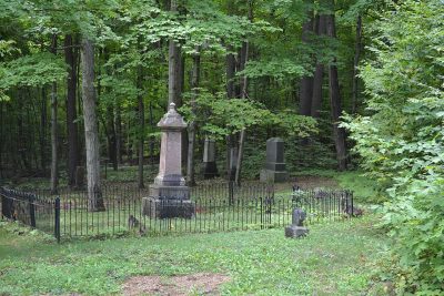
Counted by designation, there are 4 Recognized Federal Heritage Buildings and 2 municipal citations. Scaled to its population Chelsea’s record is long: 13 per 10,000 residents, more than 99% of Canadian towns. Old Chease Protestant Cemetery, begun in 1835, is the oldest by its record.
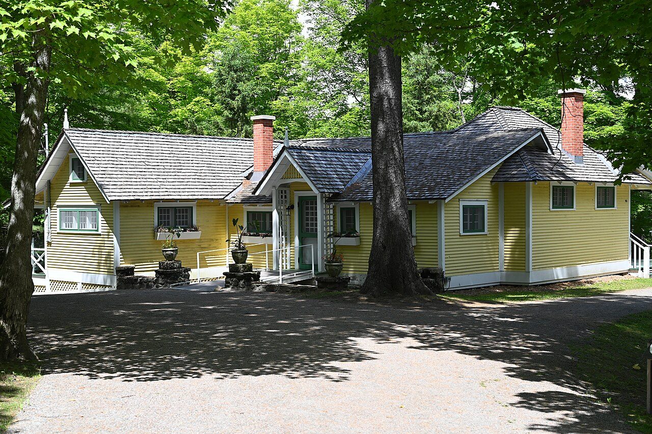
Among Chelsea’s highest-designated places, one has a photo. Of the places on Chelsea’s registers, 7 have a photo here. Look out for First Geodetic Survey Station and O'Brien House.
Photos from Wikimedia Commons, each credited to its photographer with its licence; names open the place’s page. Tap a photo to step through them full screen.
Through time
Old pictures of Chelsea
One picture from before 1950: one old photograph of the town. Tap it to see it full screen.
Public domain or CC0, made before 1950, from Wikimedia Commons; old views of places can be drawings, prints or maps of their time. Each credit opens the image’s page.
How it began
Chelsea’s early dates, from 1875
Until 1990, Chelsea was called Hull (Partie Ouest). Wikidata holds January 1, 1875 as the start of the municipality of Chelsea, a date that can just as well be an incorporation.
Every place on the registers inside the town, by its designation.
Highest designationsOther federal designationsProvincial and local listings400 m from Chapel
5 of 6within 400 m of Chapel, the heart of the town’s history
Tap any dot to open that place’s own page; hovering shows its name.
The 12, by tier
6 Highest designations4 Other federal designations2 Provincial and local listings
In Québec the record is fuller than elsewhere: beside Parks Canada’s designations, the province’s register lists its classements and every municipal citation.
Points from Wikidata (Parks Canada’s files carry none) and from Québec’s register, as mapped there.
Highest designations
6 places in Chelsea with the highest designation
They date from 1905 (First Geodetic Survey Station) to 1907. By designation: 5 Classified Federal Heritage Buildings and a National Historic Site. National Historic Sites and Classified Federal Heritage Buildings, Canada’s highest federal recognition. Each one opens its own page.
Classified Federal Heritage Building · 1907–1908Wood ShedGatineau Park
Other federal designations
4 other places Canada recognizes in Chelsea
Recognized Federal Heritage Buildings, heritage railway stations and lighthouses. They date from 1902 (“Kingswood, Guest Cottage”) to 1930. Each one opens its own page.
The second-largest group is churches and religious buildings, with 3. Two of the highest-ranked are First Geodetic Survey Station and Chapel. By kind, the list runs to 4 groups.
Houses6
Churches and religious buildings3
Stations, lighthouses and bridges1
Other places2
Each place sits in one group, from its name first, then the uses its register lists.
Provincial and local listings
2 local listings in Chelsea
Citations the municipality has made, registered with Québec’s ministry of culture. They date from 1835 (Old Chease Protestant Cemetery) to 1837. Each one opens its own page.
Chelsea’s dated places lean to the decades after Confederation
Each place by the first construction date on its record.
British North America 1760–18662
After Confederation 1867–19138
Wars and Depression 1914–19452
Since 1946 1946 on0
Of the 12 with a date, 2 predate 1867.
When designated
Most of Chelsea’s designations came in 1985
The places by the year of their designation.
1985 · 9
192019401960198020002020
First Geodetic Survey Station went on the registers first, in 1929. 9 came in 1985. Nothing has been added since 2011.
Homes by age
A growing town: 15% of Chelsea’s homes went up from 2016 to 2021, against 4.1%
Chelsea built little from 1961 to 1980: 21% of its homes, where most towns have 27%. The busiest building years in Chelsea were from 1981 to 2000, which account for 34% of today’s homes. Before 1961: 15% of Chelsea’s homes, near the usual 18%.
15%
Before 1961
21%
1961–80
34%
1981–2000
16%
2001–15
15%
2016–21
ChelseaTypical town
2021 Census, private dwellings by period of construction (Statistics Canada); the typical town is the middle Canadian town of 2,500 or more.
Towns its size
Chelsea has the most of 16 towns its size
Towns of 9,000 to 9,000 residents, by places on the registers.
All told, Chelsea has 12 historic places, 6 with the highest designation; First Geodetic Survey Station heads the list. No town its size has more historic places: it leads the 16 nearest in population. Within 400 m of Chapel stand 5 of the town’s places of the highest designation. Of the whole list, 50% are houses.
8 of the 12 dated places belong to the decades after Confederation. Its oldest homes, those from before 1961, are 15% of the total, against 18% in the typical town. More than half went on the registers in a single year, 1985: 9 of 12.
How to read these numbers
What this data can and can’t tell you
•
The tiers. National Historic Sites and the most protected buildings form the top tier; recognized federal buildings, stations and lighthouses the second; provincial and municipal listings the third.
•
The grade. History isn’t one of Canada’s graded pillars, so this page describes and compares without a letter.
•
Map points. Where a federal place sits on the map is Wikidata’s placing; the directory itself has no coordinates.
•
People and events. Persons of national historic significance come with no location; a town gets one only by birthplace (name and both life years agreeing) or by one of its own places that bears the name and whose record tells the story. Events, which can’t be tied, are left out.
•
Protection. Québec’s classements and citations carry legal protection: work on a classified building needs the minister’s authorization, on a cited one the municipality’s. Federal designations commemorate.
•
The federal register. Federal places come from Parks Canada’s directory, which counts National Historic Sites, federal heritage buildings, stations and lighthouses; their statements are the register’s own.
•
Québec’s register. In Québec the ministry of culture publishes its register openly: provincial classements, declared sites and the municipalities’ citations all appear, with their descriptions.
Questions about Chelsea’s history
Which places in Chelsea have the highest designation?
First Geodetic Survey Station, Chapel, Garage and Caretaker's Quarters, Main House, Stable and Carriage House and Wood Shed.
What is the oldest building in Chelsea?
Old Chease Protestant Cemetery — its record dates it to 1835 (Cited heritage site (Québec)).
How old are the homes in Chelsea?
15% of its homes were built before 1961, against 18% in the typical Canadian town.
Contains information licensed under the Open Government Licence – Canada (Parks Canada). Québec register data: Ministère de la Culture et des Communications du Québec, CC BY 4.0.
Sources: Parks Canada, Directory of Federal Heritage Designations · Canadian Register of Historic Places (federal extract) · Répertoire du patrimoine culturel du Québec (MCC, Données Québec) · Wikidata (CC0) for map points, other names and articles · Statistics Canada, 2021 Census (homes by period of construction). Under the Statistics Canada Open Licence.


 c. 1921
 Top
 Fed
 Fed
 Fed
 Fed
 Local
 Local