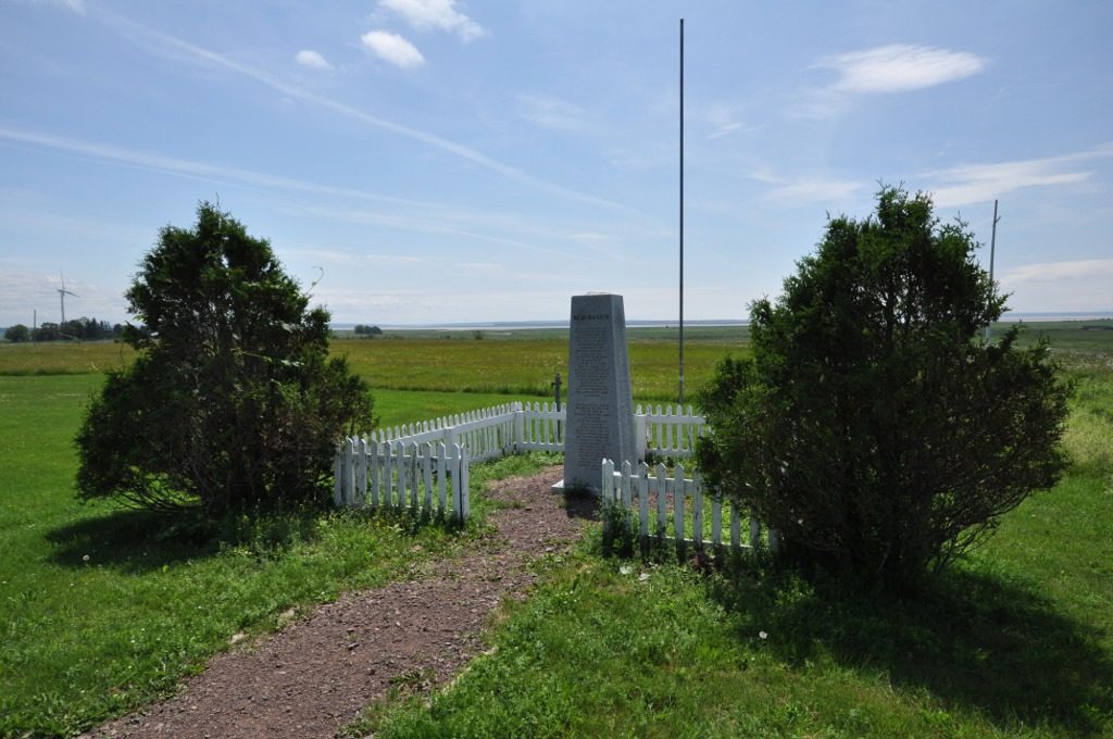
Beaubassin
Also known as Fort Lawrence , Beaubassin National Historic Site of Canada
Highway 4, Cumberland County, Subdivision C
About Beaubassin
National Historic Site status goes to 3 places in Cumberland County, Subdivision C, Beaubassin among them. Beaubassin went up in 1671. One neighbour on the registers lies within 400 m.
Beaubassin National Historic Site of Canada is located on the southwestern edge of Fort Lawrence Ridge, formerly known as Beaubassin Ridge, in Nova Scotia. The site, largely comprised of hayfields, pasture and marshland, is divided into two parts by the main Canadian National Railways line, and also contains Fort Lawrence National Historic Site of Canada. Official recognition refers to the 43.36 hectare property owned by Parks Canada Agency.
From the Canadian Register of Historic Places, Beaubassin National Historic Site of Canada · Open Government Licence – Canada · in the register’s words, not edited
National Historic Site status comes on the advice of the Historic Sites and Monuments Board of Canada.
Make it a walk: 2 historic places in about 5 minutes
Cumberland County, Subdivision C · about 200 m on foot, as the crow flies


1 within 300 m
Every place on the record within this distance; each opens its own page.
Questions about Beaubassin
Can you visit Beaubassin?
The outside is easy to see; inside, it depends on the owner’s rules.
Is Beaubassin protected?
The designation recognizes its national significance; it doesn’t by itself protect a building the federal government doesn’t own. Provincial or municipal designation may.
When was Beaubassin built?
Work on Beaubassin is recorded as 1671.
What is Beaubassin?
A National Historic Site: Canada designated Beaubassin in 2005.
Contains information licensed under the Open Government Licence – Canada (Parks Canada).
Sources: Parks Canada, Directory of Federal Heritage Designations · Canadian Register of Historic Places (federal extract) · Photos: Wikimedia Commons, each credited with its licence and copied to our own server · Wikidata (CC0) for map points, other names and articles.
Adapted from Statistics Canada (Census of Population 2021, population estimates 2025, 2021 census boundaries) under the Statistics Canada Open Licence; this does not constitute an endorsement by Statistics Canada. Neighbourhood names in some cities © OpenStreetMap contributors (ODbL).