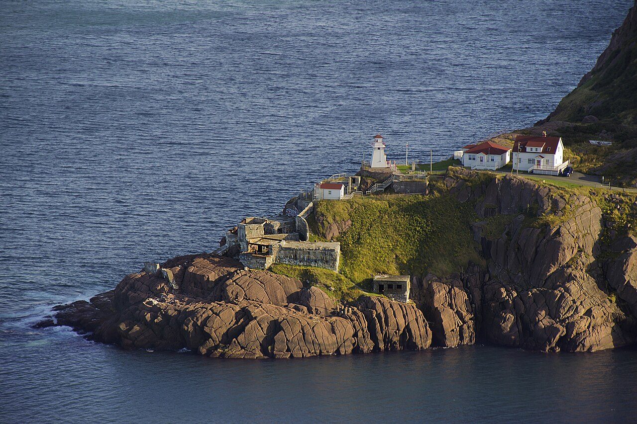
Fort Amherst
Southside Road, St. John's
About Fort Amherst
In St. John's, Fort Amherst is one of 23 National Historic Sites. By its record, Fort Amherst was built in 1777–1778. Its design is credited to Captain Robert Pringle.
Located on a hilly promontory overlooking the Atlantic Ocean, Fort Amherst National Historic Site of Canada, of which there are no visible remains, sits at South Head, the entrance to the Narrows of St. John’s Harbour in Newfoundland. Now marked by a Historic Sites and Monuments Board of Canada plaque, the fort was strategically located to provide for the defence of St. John’s. Fort Amherst is situated within the boundaries of Signal Hill National Historic Site of Canada. Official recognition refers to a five-metre radius surrounding the Historic Sites and Monuments Board of Canada cairn and plaque.
From the Canadian Register of Historic Places, Fort Amherst National Historic Site of Canada · Open Government Licence – Canada · in the register’s words, not edited
National Historic Site status comes on the advice of the Historic Sites and Monuments Board of Canada.
Finding Fort Amherst
St. John's


Its nearest historic neighbours are too far for a short walk.
Questions about Fort Amherst
When was Fort Amherst built?
By its record, Fort Amherst dates from 1777–1778.
Can you visit Fort Amherst?
It can be seen from the street; whether you can go inside depends on its owner.
What is Fort Amherst?
A National Historic Site: Canada designated Fort Amherst in 1951.
Is Fort Amherst protected?
National Historic Site status commemorates; legal protection, where there is any, comes from the province or municipality, or from federal ownership.
Contains information licensed under the Open Government Licence – Canada (Parks Canada).
Sources: Parks Canada, Directory of Federal Heritage Designations · Canadian Register of Historic Places (federal extract) · Photos: Wikimedia Commons, each credited with its licence and copied to our own server · Wikidata (CC0) for map points, other names and articles.
Adapted from Statistics Canada (Census of Population 2021, population estimates 2025, 2021 census boundaries) under the Statistics Canada Open Licence; this does not constitute an endorsement by Statistics Canada. Neighbourhood names in some cities © OpenStreetMap contributors (ODbL).