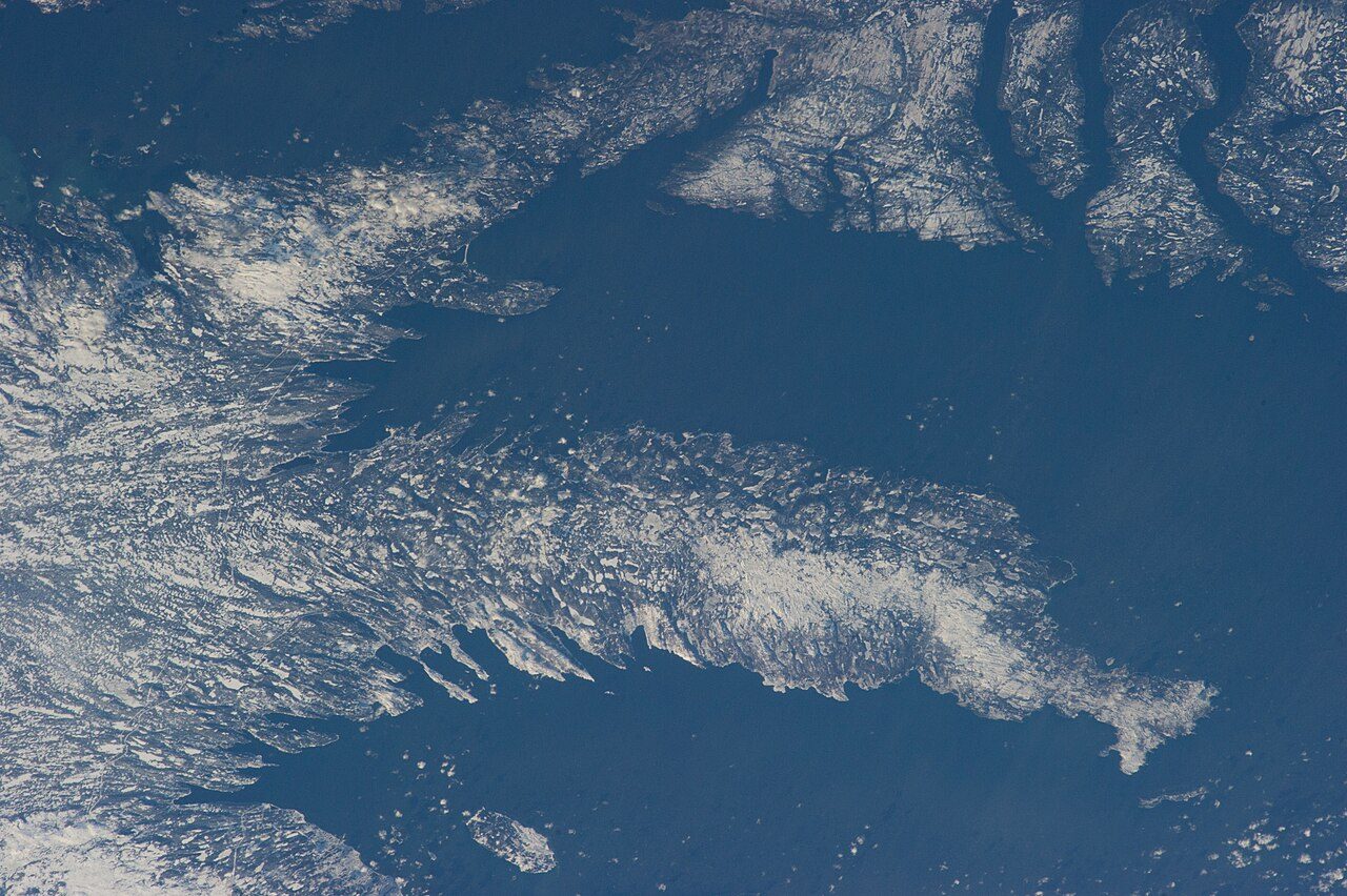
 Photo: Earth Science and Remote Sensing Unit , Lyndon B. Johnson Space Center · Public domain
No school in or within 3 km of Division No. 7, Subdivision L
We don’t grade schools in Newfoundland and Labrador. The reason: the province publishes no results school by school.
High schools within reach of Division No. 7, Subdivision L
Every secondary school within 15 km of the town, nearest first.
Within 15 km of the town there is no secondary school at all.
Schools in the towns around Division No. 7, Subdivision L
Schools in or within 3 km of each neighbouring town; distances in a straight line.
| Town | Schools | French | Catholic or independent | Nearest secondary |
|---|---|---|---|---|
| Division No. 7, Subdivision L | 0 | 0 | 0 | 100 km |
| Division No. 7, Subdivision K 11 km | 0 | 0 | 0 | 101 km |
| Division No. 7, Subdivision M 13 km | 1 | 0 | 0 | 96 km |
| Clarenville 17 km | 3 | 0 | 0 | 101 km |
The busiest neighbour is Clarenville, with 3 schools.
What this data can and can’t tell you
- The year. ODEF, from 2019–22, is the only open list: newer schools may be missing.
- Boards and systems. A school’s board decides its language; the province funds no separate Catholic system.
- What isn’t here. Missing: inspection ratings (no province gives them), enrolment trends and Ontario’s private schools.
- Which schools count. A school counts when it sits inside Division No. 7, Subdivision L or less than 3 km beyond its edge.
- The kinds of school. Elementary means kindergarten to Grade 6 or 8, secondary up to Grade 12 (Secondary V in Quebec); a few schools take every grade.
Questions about schools in Division No. 7, Subdivision L
How do I get a place at a school in Division No. 7, Subdivision L?
Contact the board: it names the school for your address and takes the registration.
How many schools are there in Division No. 7, Subdivision L?
None in or within 3 km: the nearest elementary school is 18 km away.
Is there a French-language school in Division No. 7, Subdivision L?
No, none within 3 km of Division No. 7, Subdivision L; ask the French-language board for the nearest.
Sources: Statistics Canada, Open Database of Educational Facilities v2.1 (2019–22) · map tiles © OpenStreetMap contributors. Under the Statistics Canada Open Licence.
Adapted from Statistics Canada (Census of Population 2021, population estimates 2025, 2021 census boundaries) under the Statistics Canada Open Licence; this does not constitute an endorsement by Statistics Canada. Neighbourhood names in some cities © OpenStreetMap contributors (ODbL).