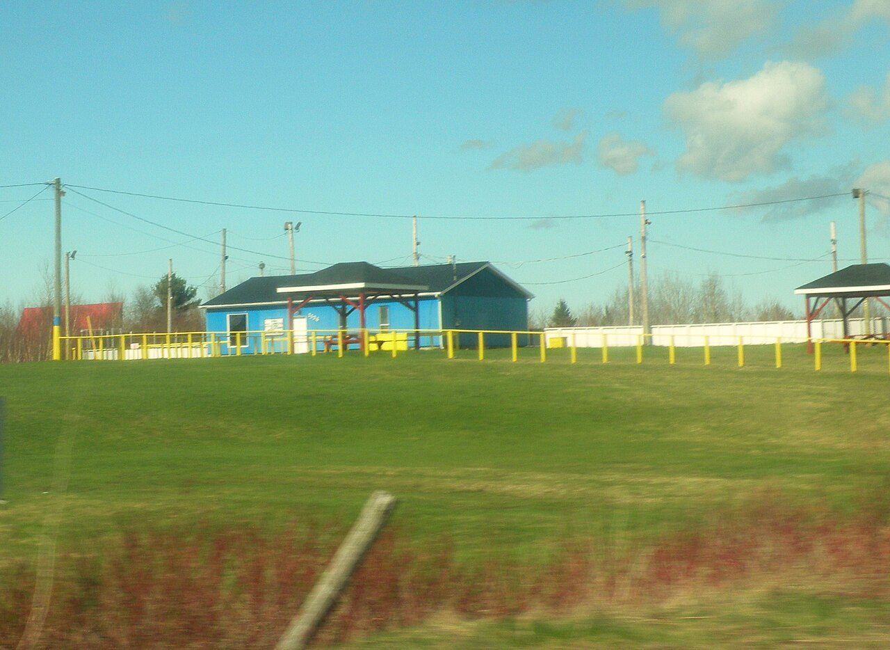
 Photo: Dr Wilson · CC BY-SA 3.0
Heritage within reach of Saint-Isidore: 9 places, 50 km or closer
For the highest designations, the closest town to Saint-Isidore is Shippagan, 44 km off. Just beyond the boundary, the registers place one more.
Within 50 km of Saint-Isidore: 9 places on the registers
They are 8 provincial or municipal listings and a Recognized Federal Heritage Building. At 27 km, Sainte-Anne-du-Bocage Chapel in Caraquet is the closest. Their towns number 6: Caraquet, Bertrand and Bas-Caraquet first.
The 9 nearest, within 50 km
| Sainte-Anne-du-Bocage ChapelLocal historic place · 1836 · 27 km away, in Caraquet |
| Village Historique AcadienProvincial heritage place · 29 km away, in Bertrand |
| Collège de Caraquet SiteLocal historic place · 30 km away, in Caraquet |
| Église Saint-Pierre-aux-Liens de CaraquetProvincial heritage place · 1860 · 30 km away, in Caraquet |
| Couvent de CaraquetLocal historic place · 30 km away, in Caraquet |
| Gabriel Giraud SiteProvincial heritage place · 33 km away, in Bas-Caraquet |
| Big Shippegan Shore LightRecognized Federal Heritage Building · 1905–1907 · 38 km away, in Shippagan |
| Girouard Shipwreck SiteProvincial heritage place · 38 km away, in Alnwick |
| Sacred Heart CathedralLocal historic place · 1886 · 44 km away, in Bathurst |
Just outside Saint-Isidore: 1
| Église Saint-IsidoreProvincial heritage place · 1.3 km outside the town |
The 50 km around Saint-Isidore keep buildings from as early as 1836
Reaching 50 km out from Saint-Isidore: the historic places by their first construction date on record.
The earliest is Sainte-Anne-du-Bocage Chapel in Caraquet, begun in 1836. 5 places within 50 km have a date. Before Confederation: 2.
Saint-Isidore’s building boom came from 1961 to 1980: 35% of its homes
More than half of Saint-Isidore’s housing predates 1981. At 22%, Saint-Isidore’s share of pre-1961 homes is above the typical town’s 18%. From 2016 on, Saint-Isidore built 5.7% of its homes; the typical town built 4.1%.
2021 Census, private dwellings by period of construction (Statistics Canada); the typical town is the middle Canadian town of 2,500 or more.
Saint-Isidore and its neighbours
| Town | People | Places | Highest | Oldest |
|---|---|---|---|---|
| Saint-Isidore | 1,372 | 0 | 0 | — |
| Tracadie | 16,453 | 0 | 0 | — |
| Paquetville | 2,225 | 0 | 0 | — |
Saint-Isidore in brief
The pre-1961 share of Saint-Isidore’s homes is 22%, against 18% in the typical town.
What this data can and can’t tell you
- The tiers. National Historic Sites and the most protected buildings form the top tier; recognized federal buildings, stations and lighthouses the second; provincial and municipal listings the third.
- Protection. Federal recognition isn’t a planning control: buildings the federal government owns follow its heritage policy, while others are protected only by a provincial or municipal designation.
- The federal register. Every federal designation is in Parks Canada’s directory, and the Canadian Register of Historic Places gives most of them a bilingual statement of significance.
- The grade. History isn’t one of Canada’s graded pillars, so this page describes and compares without a letter.
- People and events. Parks Canada’s open file gives its national historic persons no place. A town’s page names one only when the person was born there (matched by name and both life years) or one of its own historic places carries the name and its record speaks of them; national historic events stay off.
- Provincial and municipal lists. Provincial and municipal listings here come from Wikidata alone, since the provinces’ own registers can’t be reused; a listing needs an encyclopedia article to get a page.
Questions about Saint-Isidore’s history
How many historic places does Saint-Isidore have on the registers?
Not inside Saint-Isidore. The closest is Sainte-Anne-du-Bocage Chapel in Caraquet, 27 km away.
How old are the homes in Saint-Isidore?
The 2021 Census dates 22% of its homes before 1961 (18% in the typical town).
Contains information licensed under the Open Government Licence – Canada (Parks Canada).
Sources: Parks Canada, Directory of Federal Heritage Designations · Canadian Register of Historic Places (federal extract) · Wikidata (CC0) for map points, other names and articles · Statistics Canada, 2021 Census (homes by period of construction). Under the Statistics Canada Open Licence.
Adapted from Statistics Canada (Census of Population 2021, population estimates 2025, 2021 census boundaries) under the Statistics Canada Open Licence; this does not constitute an endorsement by Statistics Canada. Neighbourhood names in some cities © OpenStreetMap contributors (ODbL).