 Top
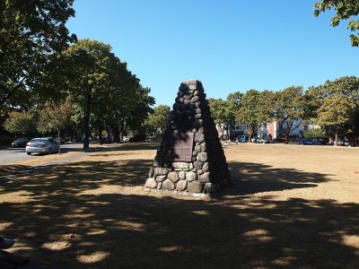
National Historic Site · 1892Marpole Midden73rd Avenue at Cartier StreetPhoto: Holbytlan · CC BY-SA 3.0 · Commons file
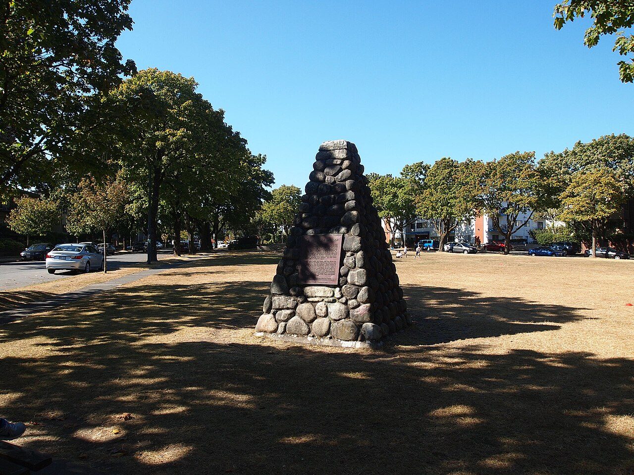 Marpole Midden · Photo: Holbytlan · CC BY-SA 3.0
1historic place on the registers
History of Marpole · Canada’s heritage registers
One place in Marpole, at the top of the registers
Marpole Midden, from 1892, is Marpole’s national historic site. Per resident Marpole has more than 73% of Canadian towns: 0.4 for every 10,000 people.
Historic places
1
0.4 per 10,000 residents
Highest designations
1
National Historic Sites and Classified Federal Heritage Buildings
Oldest building
1892
the first construction date on its record
Homes built before 1961
15%
typical town: 18%
Through time
The old face of Marpole
From before 1950 comes the oldest view of one of its historic places. It opens full screen with a tap.
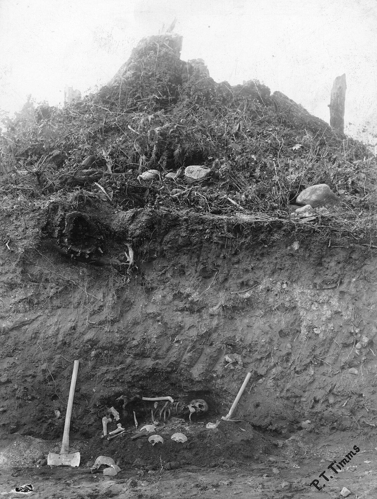 1908
Public domain or CC0, made before 1950, from Wikimedia Commons; old views of places can be drawings, prints or maps of their time. Each credit opens the image’s page.
The map
Where Marpole’s history is
Every place on the registers inside the town, by its designation.
Highest designations
Tap any dot to open that place’s own page; hovering shows its name.
The 1, by tier
1 Highest designations
Parks Canada’s Directory of Federal Heritage Designations lists the places the Government of Canada has recognized; outside Québec, provincial and municipal listings come only through Wikidata, and only those with an encyclopedia article get a page.
Points from Wikidata (Parks Canada’s files carry none) and from Québec’s register, as mapped there.
Highest designations
One place in Marpole with the highest designation
National Historic Sites and Classified Federal Heritage Buildings, Canada’s highest federal recognition. Each one opens its own page.
Around the town
The highest designation, 9 times, within 10 km of Marpole
They stand in 9 towns, Yaletown, Granville Entertainment District and Strathcona among them. The record reaches back to 1880 with Vancouver's Chinatown, 7.8 km away. 31 places lie within 10 km.
The 12 nearest, within 10 km
| Bloedel ConservatoryListed in a community heritage register · 1969 · 3.5 km away, in Riley Park |
| Harbour Air Hangar, Building T-018 at the Vancouver International AirportRecognized Federal Heritage Building · 1930–1931 · 4.8 km away, in Richmond |
| Minoru ChapelHeritage designation · 5.1 km away, in Richmond |
| Bessborough ArmouryRecognized Federal Heritage Building · 1932–1934 · 5.9 km away, in Kitsilano |
| Seaforth ArmouryRecognized Federal Heritage Building · 1935–1937 · 6.7 km away, in Fairview |
| Canadian National Railways / VIA Rail Station, Vancouver, British ColumbiaHeritage Railway Station · 1917–1918 · 7.2 km away, in Strathcona |
| St. RochNational Historic Site · 1928–1929 · 7.4 km away, in Kitsilano |
| Orpheum TheatreNational Historic Site · 1926–1928 · 7.6 km away, in Granville Entertainment District |
| Vogue TheatreNational Historic Site · 1940–1942 · 7.6 km away, in Granville Entertainment District |
| ArmouryRecognized Federal Heritage Building · 1899–1903 · 7.6 km away, in Yaletown |
| Queen Elizabeth TheatreListed in a community heritage register · 7.7 km away, in Yaletown |
| Electra BuildingListed in a community heritage register · 1957 · 7.7 km away, in Granville Entertainment District |
Homes by age
A growing town: 18% of Marpole’s homes went up from 2016 to 2021, against 4.1%
Over half of the homes in Marpole were already standing by 2001. The largest single period is from 1961 to 1980, with 27% of Marpole’s homes. Before 1961: 15% of Marpole’s homes, near the usual 18%.
15%
Before 1961
27%
1961–80
26%
1981–2000
14%
2001–15
18%
2016–21
MarpoleTypical town
2021 Census, private dwellings by period of construction (Statistics Canada); the typical town is the middle Canadian town of 2,500 or more.
Neighbours
Marpole and its neighbours
| Town | People | Places | Highest | Oldest |
|---|---|---|---|---|
| Marpole | 28,182 | 1 | 1 | 1892 |
| Oakridge | 14,071 | 0 | 0 | — |
| Sunset | 37,186 | 0 | 0 | — |
| Kerrisdale | 14,105 | 0 | 0 | — |
| Shaughnessy | 8,034 | 0 | 0 | — |
| South Cambie | 9,846 | 0 | 0 | — |
| Riley Park | 23,682 | 1 | 0 | 1969 |
In brief
Marpole in brief
Canada’s heritage lists give Marpole 1 historic place, one with the highest designation, Marpole Midden among them. Its housing is young: only 15% predates 1961, against 18% in the typical town. Everything else is close to the norm: one historic place is about usual for its size (the median is 1); and its designation dates from 1933.
How to read these numbers
What this data can and can’t tell you
- People and events. The open directory puts its national historic persons nowhere, so a town shows one only on firm ground: a birth there, matched by name and life years, or a historic place there named for the person whose record says so. Events are left out.
- The federal register. Parks Canada’s Directory of Federal Heritage Designations lists every National Historic Site, federal heritage building, heritage railway station and lighthouse; the Canadian Register of Historic Places adds their statements in English and French.
- Provincial and municipal lists. Outside Québec, provinces’ and municipalities’ heritage registers aren’t open data; their places are known only through Wikidata items with a register number, and only those with an encyclopedia article get a page.
- Map points. Federal places get their map points from Wikidata, since Parks Canada’s files carry none; they are as mapped there.
- The grade. History isn’t one of Canada’s graded pillars, so this page describes and compares without a letter.
- Protection. National historic designation honours a place but binds only federal owners; a private building’s protection depends on its province or municipality.
- The tiers. National Historic Sites and the most protected buildings form the top tier; recognized federal buildings, stations and lighthouses the second; provincial and municipal listings the third.
Questions about Marpole’s history
Which places in Marpole have the highest designation?
Marpole Midden.
What is the oldest building in Marpole?
Marpole Midden, a National Historic Site, begun in 1892.
How old are the homes in Marpole?
Before 1961: 15% of its homes; the typical town has 18%.
Contains information licensed under the Open Government Licence – Canada (Parks Canada).
Sources: Parks Canada, Directory of Federal Heritage Designations · Canadian Register of Historic Places (federal extract) · Wikidata (CC0) for map points, other names and articles · Statistics Canada, 2021 Census (homes by period of construction). Under the Statistics Canada Open Licence.
Adapted from Statistics Canada (Census of Population 2021, population estimates 2025, 2021 census boundaries) under the Statistics Canada Open Licence; this does not constitute an endorsement by Statistics Canada. Neighbourhood names in some cities © OpenStreetMap contributors (ODbL).