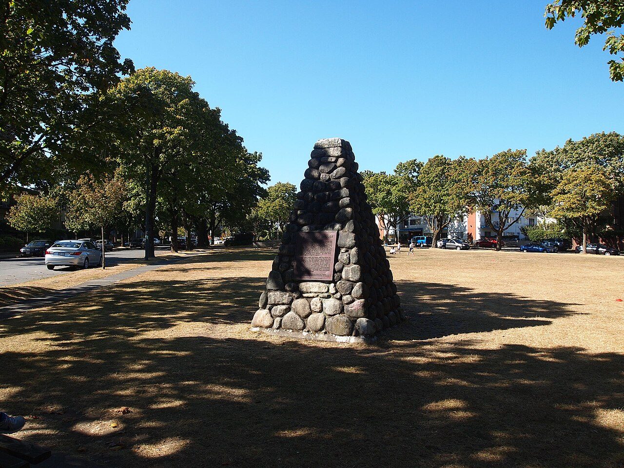
Marpole Midden
Also known as Great Fraser Midden
73rd Avenue at Cartier Street, Marpole
About Marpole Midden
In Marpole, Marpole Midden is the National Historic Site. Marpole Midden went up in 1892.
Marpole Midden National Historic Site of Canada is situated near the northern end of the Arthur Laing Bridge, at the southern edge of the city of Vancouver, British Columbia. This massive midden site contains remains of a Coast Salish winter village dating from the Marpole phase culture, as well as shellfish remains and various artifacts from early inhabitants of the site found in an average depth of 1.5 metres and a maximum depth of 4.6 metres, dating from 1500 to 2900 years ago. Other undisturbed deposits lie beneath much of the urban fabric covering the site. The official recognition refers to all or part of 26 numbered lots comprise in an irregular ellipse in the broad surroundings of the rectangle formed by Montcalm and Milton Streets, Marine Drive and the Canadian Pacific Railway right-of-way.
From the Canadian Register of Historic Places, Marpole Midden National Historic Site of Canada · Open Government Licence – Canada · the register’s own words, unchanged
The Historic Sites and Monuments Board recommends National Historic Sites; the designation marks national significance, not ownership.
1 old view of Marpole Midden
Made before 1950, from 1908: public domain or CC0. Tap one to see it full screen.
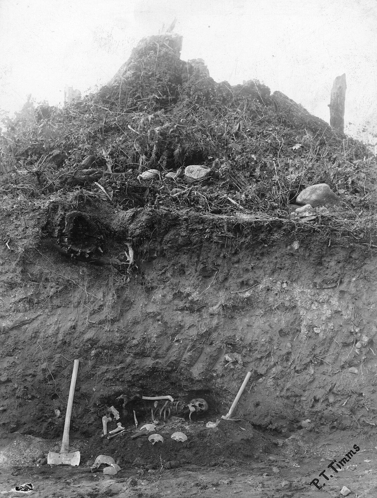 1908
From Wikimedia Commons, copied to our own server; some are drawings, prints or maps of their time. Each credit is in the viewer.
Finding Marpole Midden
Marpole


It stands apart from the town’s other historic places.
Questions about Marpole Midden
Can you visit Marpole Midden?
You can see it from the street, while entry depends on its current use.
What is Marpole Midden?
A National Historic Site: Canada designated Marpole Midden in 1933.
When was Marpole Midden built?
Marpole Midden went up in 1892, by its record.
Is Marpole Midden protected?
The designation recognizes its national significance; it doesn’t by itself protect a building the federal government doesn’t own. Provincial or municipal designation may.
Contains information licensed under the Open Government Licence – Canada (Parks Canada).
Sources: Parks Canada, Directory of Federal Heritage Designations · Canadian Register of Historic Places (federal extract) · Photos: Wikimedia Commons, each credited with its licence and copied to our own server · Wikidata (CC0) for map points, other names and articles.
Adapted from Statistics Canada (Census of Population 2021, population estimates 2025, 2021 census boundaries) under the Statistics Canada Open Licence; this does not constitute an endorsement by Statistics Canada. Neighbourhood names in some cities © OpenStreetMap contributors (ODbL).